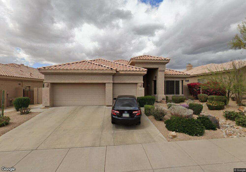
7714 E Wingtip Way Scottsdale, AZ 85255
Grayhawk NeighborhoodEstimated Value: $890,339 - $1,183,000
--
Bed
3
Baths
2,412
Sq Ft
$440/Sq Ft
Est. Value
About This Home
This home is located at 7714 E Wingtip Way, Scottsdale, AZ 85255 and is currently estimated at $1,060,335, approximately $439 per square foot. 7714 E Wingtip Way is a home located in Maricopa County with nearby schools including Grayhawk Elementary School, Explorer Middle School, and Pinnacle High School.
Ownership History
Date
Name
Owned For
Owner Type
Purchase Details
Closed on
Mar 31, 2020
Sold by
Vesely George C and Vesely Jane E
Bought by
Vesely George C and Vesely Jane E
Current Estimated Value
Purchase Details
Closed on
Aug 7, 2000
Sold by
Braxton David H and Braxton Shannon L
Bought by
Vesely George C and Vesely Jane E
Home Financials for this Owner
Home Financials are based on the most recent Mortgage that was taken out on this home.
Original Mortgage
$210,000
Interest Rate
8.13%
Mortgage Type
New Conventional
Purchase Details
Closed on
Jan 25, 1999
Sold by
T W Lewis Company
Bought by
Braxton David H and Braxton Shannon L
Home Financials for this Owner
Home Financials are based on the most recent Mortgage that was taken out on this home.
Original Mortgage
$216,000
Interest Rate
6.63%
Mortgage Type
New Conventional
Create a Home Valuation Report for This Property
The Home Valuation Report is an in-depth analysis detailing your home's value as well as a comparison with similar homes in the area
Home Values in the Area
Average Home Value in this Area
Purchase History
| Date | Buyer | Sale Price | Title Company |
|---|---|---|---|
| Vesely George C | -- | None Listed On Document | |
| Vesely George C | $287,000 | Chicago Title Insurance Co | |
| Braxton David H | $235,258 | Chicago Title Insurance Co |
Source: Public Records
Mortgage History
| Date | Status | Borrower | Loan Amount |
|---|---|---|---|
| Previous Owner | Vesely George C | $210,000 | |
| Previous Owner | Braxton David H | $216,000 |
Source: Public Records
Tax History Compared to Growth
Tax History
| Year | Tax Paid | Tax Assessment Tax Assessment Total Assessment is a certain percentage of the fair market value that is determined by local assessors to be the total taxable value of land and additions on the property. | Land | Improvement |
|---|---|---|---|---|
| 2025 | $4,298 | $55,078 | -- | -- |
| 2024 | $4,224 | $52,455 | -- | -- |
| 2023 | $4,224 | $69,120 | $13,820 | $55,300 |
| 2022 | $4,152 | $51,360 | $10,270 | $41,090 |
| 2021 | $4,239 | $46,910 | $9,380 | $37,530 |
| 2020 | $4,104 | $44,550 | $8,910 | $35,640 |
| 2019 | $4,142 | $41,100 | $8,220 | $32,880 |
| 2018 | $4,029 | $40,970 | $8,190 | $32,780 |
| 2017 | $3,826 | $40,500 | $8,100 | $32,400 |
| 2016 | $3,748 | $39,230 | $7,840 | $31,390 |
| 2015 | $3,572 | $38,170 | $7,630 | $30,540 |
Source: Public Records
Map
Nearby Homes
- 7788 E Phantom Way
- 7554 E Tailspin Ln
- 20683 N 79th Way
- 21157 N 74th Place
- 7527 E Nestling Way
- 21240 N 74th Place
- 20121 N 76th St Unit 2058
- 20121 N 76th St Unit 2006
- 20121 N 76th St Unit 2061
- 7370 E Wingspan Way
- 7775 E Fledgling Dr
- 20100 N 78th Place Unit 1020
- 20100 N 78th Place Unit 2125
- 20100 N 78th Place Unit 1200
- 20100 N 78th Place Unit 2201
- 20100 N 78th Place Unit 2203
- 20100 N 78th Place Unit 2202
- 20100 N 78th Place Unit 1052
- 20100 N 78th Place Unit 1004
- 20100 N 78th Place Unit 2090
- 7722 E Wingtip Way
- 7706 E Wingtip Way
- 7713 E Quill Ln
- 7730 E Wingtip Way
- 7698 E Wingtip Way
- 7705 E Quill Ln
- 7721 E Quill Ln
- 7711 E Wingtip Way
- 7719 E Wingtip Way
- 7697 E Quill Ln
- 7729 E Quill Ln
- 7703 E Wingtip Way
- 7738 E Wingtip Way
- 7690 E Wingtip Way
- 7727 E Wingtip Way
- 7689 E Quill Ln
- 7737 E Quill Ln
- 7695 E Wingtip Way
- 7735 E Wingtip Way
- 7682 E Wingtip Way