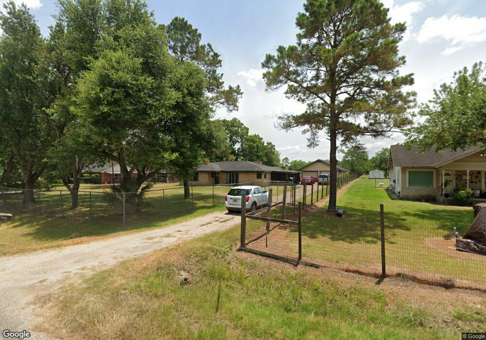
7714 Lester St Pearland, TX 77584
Estimated Value: $372,905 - $419,000
3
Beds
2
Baths
1,813
Sq Ft
$215/Sq Ft
Est. Value
About This Home
This home is located at 7714 Lester St, Pearland, TX 77584 and is currently estimated at $388,976, approximately $214 per square foot. 7714 Lester St is a home located in Brazoria County with nearby schools including Mark Twain Elementary School, G.W. Harby Junior High School, and Manvel High School.
Ownership History
Date
Name
Owned For
Owner Type
Purchase Details
Closed on
Mar 20, 1998
Sold by
Nyman Robert and Nyman Namyon
Bought by
Wollaston Edward A
Current Estimated Value
Home Financials for this Owner
Home Financials are based on the most recent Mortgage that was taken out on this home.
Original Mortgage
$74,400
Outstanding Balance
$13,635
Interest Rate
7.04%
Estimated Equity
$375,341
Purchase Details
Closed on
May 20, 1994
Sold by
Robinson Roy L and Robinson Carolyn J
Bought by
Nyman Robert and Nyman Namyon
Home Financials for this Owner
Home Financials are based on the most recent Mortgage that was taken out on this home.
Original Mortgage
$35,000
Interest Rate
8.19%
Create a Home Valuation Report for This Property
The Home Valuation Report is an in-depth analysis detailing your home's value as well as a comparison with similar homes in the area
Home Values in the Area
Average Home Value in this Area
Purchase History
| Date | Buyer | Sale Price | Title Company |
|---|---|---|---|
| Wollaston Edward A | -- | Texas American Title Company | |
| Nyman Robert | -- | -- |
Source: Public Records
Mortgage History
| Date | Status | Borrower | Loan Amount |
|---|---|---|---|
| Open | Wollaston Edward A | $74,400 | |
| Previous Owner | Nyman Robert | $35,000 | |
| Closed | Nyman Robert | $50,000 |
Source: Public Records
Tax History Compared to Growth
Tax History
| Year | Tax Paid | Tax Assessment Tax Assessment Total Assessment is a certain percentage of the fair market value that is determined by local assessors to be the total taxable value of land and additions on the property. | Land | Improvement |
|---|---|---|---|---|
| 2025 | $2,306 | $263,538 | $162,420 | $196,740 |
| 2023 | $2,306 | $217,800 | $173,250 | $198,440 |
| 2022 | $4,199 | $198,000 | $86,630 | $111,370 |
| 2021 | $4,306 | $197,970 | $79,200 | $118,770 |
| 2020 | $3,783 | $176,400 | $59,400 | $117,000 |
| 2019 | $3,874 | $175,160 | $59,400 | $115,760 |
| 2018 | $3,622 | $163,390 | $59,400 | $103,990 |
| 2017 | $3,344 | $148,950 | $47,250 | $101,700 |
| 2016 | $3,071 | $136,790 | $29,250 | $107,540 |
| 2015 | $2,395 | $128,410 | $22,500 | $105,910 |
| 2014 | $2,395 | $121,670 | $24,750 | $96,920 |
Source: Public Records
Map
Nearby Homes
- 17501 County Road 116
- COUNTRY RD 143 County Road 112
- 7829 James St Unit CR117
- 3415 Herbert Dr
- 18111 Roy Long Rd
- 7225 Libby Ln
- 7223 Libby Ln
- 18502 Wells Ct
- 7206 Williams Rd
- 4016 Atago Tree Ln
- 7506 Bluebonnet St
- 4013 Green Anjou Ln
- 3411 Woodrose Orchard Dr
- 4004 Green Anjou Ln
- 8030 Over St Unit C176A
- 00 Cr 175
- 3421 Comice Ln
- 3424 Daily Harvest Dr
- 3410 Comice Ln
- 8042 Over St