7714 Ruxwood Rd Towson, MD 21204
Estimated Value: $986,000 - $1,688,000
--
Bed
4
Baths
3,699
Sq Ft
$398/Sq Ft
Est. Value
About This Home
This home is located at 7714 Ruxwood Rd, Towson, MD 21204 and is currently estimated at $1,471,180, approximately $397 per square foot. 7714 Ruxwood Rd is a home located in Baltimore County with nearby schools including Riderwood Elementary School, Dumbarton Middle School, and Towson High Law & Public Policy.
Ownership History
Date
Name
Owned For
Owner Type
Purchase Details
Closed on
Jan 29, 2008
Sold by
Mowbray Edwin
Bought by
Mowbray Rebecca B
Current Estimated Value
Purchase Details
Closed on
Dec 19, 2007
Sold by
Mowbray Edwin
Bought by
Mowbray Rebecca B
Purchase Details
Closed on
Feb 7, 1984
Sold by
Long Daniel R 3Rd
Bought by
Mowbray Edwin 3Rd
Create a Home Valuation Report for This Property
The Home Valuation Report is an in-depth analysis detailing your home's value as well as a comparison with similar homes in the area
Home Values in the Area
Average Home Value in this Area
Purchase History
| Date | Buyer | Sale Price | Title Company |
|---|---|---|---|
| Mowbray Rebecca B | -- | -- | |
| Mowbray Rebecca B | -- | -- | |
| Mowbray Edwin 3Rd | $227,500 | -- |
Source: Public Records
Tax History Compared to Growth
Tax History
| Year | Tax Paid | Tax Assessment Tax Assessment Total Assessment is a certain percentage of the fair market value that is determined by local assessors to be the total taxable value of land and additions on the property. | Land | Improvement |
|---|---|---|---|---|
| 2025 | $12,544 | $1,195,800 | $420,600 | $775,200 |
| 2024 | $12,544 | $1,113,600 | $0 | $0 |
| 2023 | $6,037 | $1,031,400 | $0 | $0 |
| 2022 | $11,460 | $949,200 | $420,600 | $528,600 |
| 2021 | $11,313 | $944,933 | $0 | $0 |
| 2020 | $11,313 | $940,667 | $0 | $0 |
| 2019 | $10,916 | $936,400 | $420,600 | $515,800 |
| 2018 | $10,485 | $888,467 | $0 | $0 |
| 2017 | $9,978 | $840,533 | $0 | $0 |
| 2016 | $10,451 | $792,600 | $0 | $0 |
| 2015 | $10,451 | $792,600 | $0 | $0 |
| 2014 | $10,451 | $792,600 | $0 | $0 |
Source: Public Records
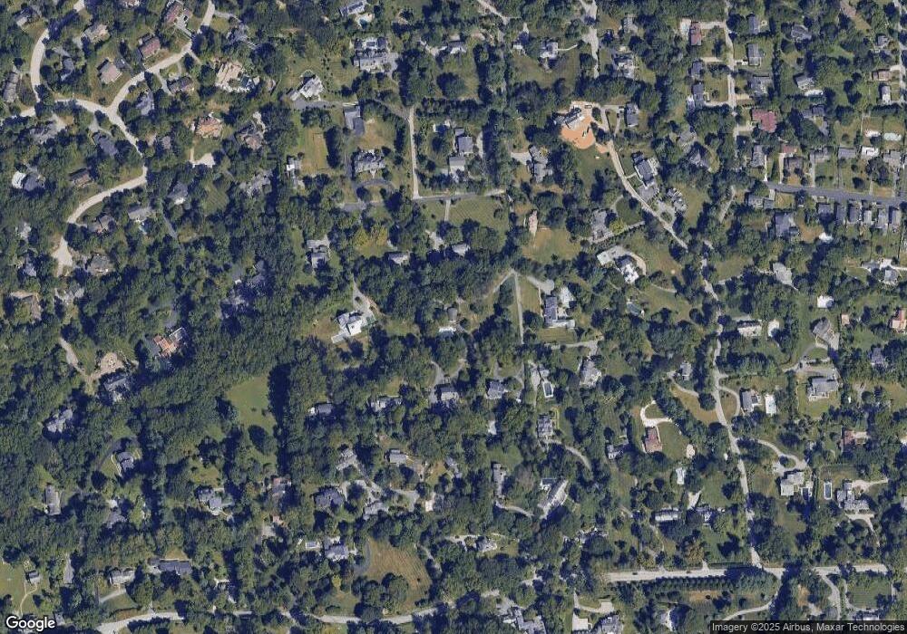
Map
Nearby Homes
- 1914 Ruxton Rd
- 1926 Ruxton Rd
- 1806 Roland Ave
- 8007 Strauff Rd
- 7920 Springway Rd
- 406 Brightwood Club Dr
- 402 Brightwood Club Dr
- 514 Brightwood Club Dr Unit 514
- 205 Brightwood Club Dr
- 206 Brightwood Club Dr
- 108 Brightwood Club Dr
- 1848 Circle Rd
- 1421 Wine Spring Ln
- 7506 Lhirondelle Club Rd
- 2 Riderwood Station
- 2413 Still Forest Rd
- 2331 Old Court Rd Unit 506
- 2331 Old Court Rd Unit 201
- 6702 Fairford Ln
- 1422 W Joppa Rd
- 7800 Ruxwood Rd
- 7715 Ruxwood Rd
- 1 Kittredge Ln
- 7802 Ruxwood Rd
- 7712 Ruxwood Rd
- 7804 Ruxwood Rd
- 3 Kittredge Ln
- 7713 Ruxwood Rd
- 7824 Ellenham Rd
- 1904 Ruxton Rd
- 7816 Ruxwood Rd
- 4 Jack Frost Ln
- 7805 Ruxwood Rd
- 7806 Ruxwood Rd
- 7820 Ellenham Ave
- 6 Jack Frost Ln
- 5 Kittredge Ln
- 1912 Ruxton Rd
- 7820 Ellenham Rd
- 7810 Ruxwood Rd