7715 N Devonwood Ln Fair Grove, MO 65648
Estimated Value: $372,000 - $466,323
3
Beds
2
Baths
1,858
Sq Ft
$233/Sq Ft
Est. Value
About This Home
This home is located at 7715 N Devonwood Ln, Fair Grove, MO 65648 and is currently estimated at $433,108, approximately $233 per square foot. 7715 N Devonwood Ln is a home located in Greene County with nearby schools including Fair Grove Elementary School, Fair Grove Middle School, and Fair Grove High School.
Ownership History
Date
Name
Owned For
Owner Type
Purchase Details
Closed on
Nov 5, 2019
Sold by
Beecher Terry L
Bought by
Evans Linda R
Current Estimated Value
Purchase Details
Closed on
Feb 17, 2017
Sold by
Evans Lindy R
Bought by
Evans Lindy R and Beecher Terry L
Purchase Details
Closed on
May 26, 2011
Sold by
Evans Melinda C
Bought by
Evans Lindy R
Create a Home Valuation Report for This Property
The Home Valuation Report is an in-depth analysis detailing your home's value as well as a comparison with similar homes in the area
Home Values in the Area
Average Home Value in this Area
Purchase History
| Date | Buyer | Sale Price | Title Company |
|---|---|---|---|
| Evans Linda R | -- | None Available | |
| Evans Lindy R | -- | None Available | |
| Evans Lindy R | -- | None Available |
Source: Public Records
Tax History Compared to Growth
Tax History
| Year | Tax Paid | Tax Assessment Tax Assessment Total Assessment is a certain percentage of the fair market value that is determined by local assessors to be the total taxable value of land and additions on the property. | Land | Improvement |
|---|---|---|---|---|
| 2025 | $2,790 | $57,850 | $8,890 | $48,960 |
| 2024 | $2,790 | $54,380 | $6,670 | $47,710 |
| 2023 | $2,780 | $54,380 | $6,670 | $47,710 |
| 2022 | $2,444 | $47,180 | $6,670 | $40,510 |
| 2021 | $2,434 | $47,180 | $6,670 | $40,510 |
| 2020 | $2,415 | $44,520 | $6,670 | $37,850 |
| 2019 | $2,405 | $44,520 | $6,670 | $37,850 |
| 2018 | $2,193 | $39,960 | $6,670 | $33,290 |
| 2017 | $2,191 | $32,930 | $6,670 | $26,260 |
| 2016 | $1,713 | $32,930 | $6,670 | $26,260 |
| 2015 | $1,714 | $32,930 | $6,670 | $26,260 |
| 2014 | $1,707 | $32,530 | $6,670 | $25,860 |
Source: Public Records
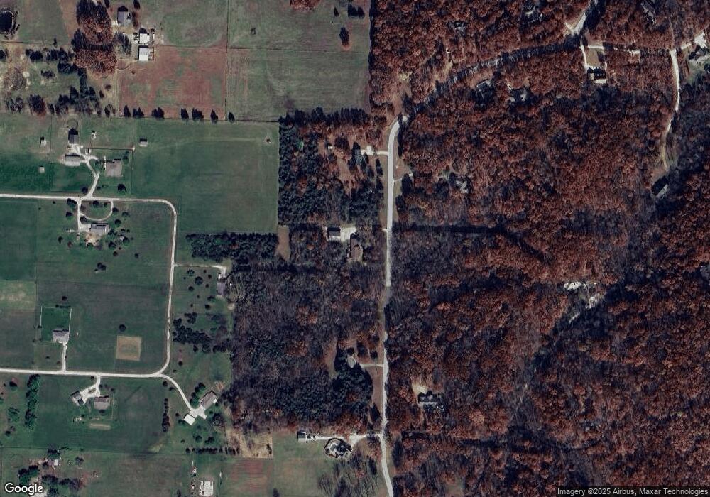
Map
Nearby Homes
- 4822 E State Highway Kk
- 7272 N Farm Road 191
- 7268 N Farm Road 203
- 7222 N Farm Road 203
- 8950 Eagle Prairie Rd
- 7607 N Angler Ln
- 3676 E Ponderosa Ln
- 3725 E Shelby Rd
- 8133 N Hummingbird Ln
- 3875 E Dehaven Ln
- Tbd N Farm Road 181
- 000 E Farm Road 68 Unit Parcel 3
- 4011 E Farm Road 34
- 7211 E Farm Road 68
- 617 S Magen St
- 5293 N Farm Road 189
- Tract 2 N State Highway 215
- 7754 N State Highway 125
- 271 S Meadowlark St
- 000 E Farm Road 50
- 7777 N Devonwood Ln
- 7635 N Devonwood Ln
- 7780 N Devonwood Ln
- 4778 E Elliott Ln
- 7624 N Devonwood Ln
- 4754 E Elliott Ln
- 7607 N Devonwood Ln
- 7908 N Devonwood Ln
- 5097 E Pembrook Ln
- 0 E Pembrook Ln
- 4720 E Ehren Ln
- 7811 N Devonwood Ln
- 4727 E Ehren Ln
- 5012 E Pembrook Ln
- 4730 E Elliott Ln
- 7927 N Devonwood Ln
- 7552 N Devonwood Ln
- 5066 E Thorncrest Ln
- 4729 E Elliott Ln
- 5118 E Thorncrest Ln