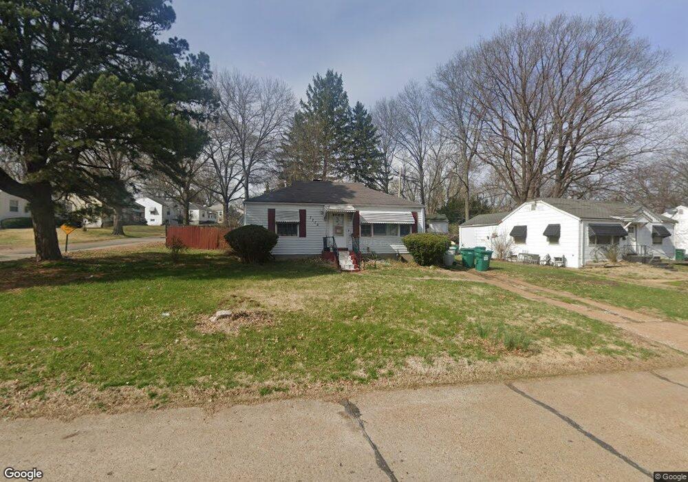
7715 Racine Dr Saint Louis, MO 63133
Estimated Value: $81,000 - $124,000
2
Beds
1
Bath
1,188
Sq Ft
$90/Sq Ft
Est. Value
About This Home
This home is located at 7715 Racine Dr, Saint Louis, MO 63133 and is currently estimated at $107,021, approximately $90 per square foot. 7715 Racine Dr is a home located in St. Louis County with nearby schools including Normandy High School, The Leadership School, and The Freedom School.
Ownership History
Date
Name
Owned For
Owner Type
Purchase Details
Closed on
Oct 14, 2002
Sold by
Tyce Lisiure Renee
Bought by
Hines Tyce Renee
Current Estimated Value
Home Financials for this Owner
Home Financials are based on the most recent Mortgage that was taken out on this home.
Original Mortgage
$64,350
Outstanding Balance
$32,175
Interest Rate
8.85%
Estimated Equity
$74,846
Purchase Details
Closed on
Apr 13, 2001
Sold by
Renee Tyce and Renee Lisiure Renee
Bought by
Tyce Lisiure Renee
Create a Home Valuation Report for This Property
The Home Valuation Report is an in-depth analysis detailing your home's value as well as a comparison with similar homes in the area
Home Values in the Area
Average Home Value in this Area
Purchase History
| Date | Buyer | Sale Price | Title Company |
|---|---|---|---|
| Hines Tyce Renee | -- | -- | |
| Tyce Lisiure Renee | -- | -- |
Source: Public Records
Mortgage History
| Date | Status | Borrower | Loan Amount |
|---|---|---|---|
| Open | Hines Tyce Renee | $64,350 |
Source: Public Records
Tax History Compared to Growth
Tax History
| Year | Tax Paid | Tax Assessment Tax Assessment Total Assessment is a certain percentage of the fair market value that is determined by local assessors to be the total taxable value of land and additions on the property. | Land | Improvement |
|---|---|---|---|---|
| 2025 | $1,615 | $20,060 | $2,470 | $17,590 |
| 2024 | $1,615 | $17,200 | $2,470 | $14,730 |
| 2023 | $1,615 | $17,200 | $2,470 | $14,730 |
| 2022 | $1,513 | $13,090 | $2,050 | $11,040 |
| 2021 | $1,452 | $13,090 | $2,050 | $11,040 |
| 2020 | $1,403 | $11,650 | $2,090 | $9,560 |
| 2019 | $1,371 | $11,650 | $2,090 | $9,560 |
| 2018 | $1,375 | $10,950 | $1,390 | $9,560 |
| 2017 | $1,384 | $10,950 | $1,390 | $9,560 |
| 2016 | $1,366 | $10,380 | $1,390 | $8,990 |
| 2015 | $1,326 | $10,380 | $1,390 | $8,990 |
| 2014 | $1,457 | $11,400 | $2,510 | $8,890 |
Source: Public Records
Map
Nearby Homes
- 7335 Trenton Ave
- 1944 Falcon Dr
- 7372 Liberty Ave
- 1545 Moore Place
- 7339 Wayne Ave
- 8008 Monroe Ave
- 1604 Quendo Ave
- 1901 Owen Dr
- 7507 Liberty Ave
- 8138 Underhill Dr
- 1529 Nixon Ave
- 7231 Teal Ave
- 7346 Canton Ave
- 7171 White Oak Ln
- 8227 Page Ave
- 1988 Driftway Dr
- 7060 Canton Ave
- 7032 Canton Ave
- 7525 Cory Place
- 8303 Jackson St