7715 State Highway 78 W Beulah, CO 81023
Estimated Value: $313,520 - $496,000
3
Beds
1
Bath
2,226
Sq Ft
$187/Sq Ft
Est. Value
About This Home
This home is located at 7715 State Highway 78 W, Beulah, CO 81023 and is currently estimated at $415,840, approximately $186 per square foot. 7715 State Highway 78 W is a home located in Pueblo County with nearby schools including Beulah Elementary School, Beulah Middle School, and Rye High School.
Ownership History
Date
Name
Owned For
Owner Type
Purchase Details
Closed on
Apr 30, 2021
Sold by
Newton Kathryn and Downer Shawn D
Bought by
United Colorado Llc
Current Estimated Value
Purchase Details
Closed on
Apr 29, 2021
Sold by
United Colorado Llc
Bought by
Dfw Group Lllp
Purchase Details
Closed on
Oct 15, 2020
Sold by
Newton Kathryn
Bought by
Newton Kathryn and Downer Shawn D
Home Financials for this Owner
Home Financials are based on the most recent Mortgage that was taken out on this home.
Original Mortgage
$50,000
Interest Rate
2.8%
Mortgage Type
New Conventional
Create a Home Valuation Report for This Property
The Home Valuation Report is an in-depth analysis detailing your home's value as well as a comparison with similar homes in the area
Home Values in the Area
Average Home Value in this Area
Purchase History
| Date | Buyer | Sale Price | Title Company |
|---|---|---|---|
| United Colorado Llc | $185,000 | Land Title Guarantee Company | |
| Dfw Group Lllp | $210,000 | Land Title Guarantee Company | |
| Newton Kathryn | -- | Heritage Title Company |
Source: Public Records
Mortgage History
| Date | Status | Borrower | Loan Amount |
|---|---|---|---|
| Previous Owner | Newton Kathryn | $50,000 |
Source: Public Records
Tax History Compared to Growth
Tax History
| Year | Tax Paid | Tax Assessment Tax Assessment Total Assessment is a certain percentage of the fair market value that is determined by local assessors to be the total taxable value of land and additions on the property. | Land | Improvement |
|---|---|---|---|---|
| 2024 | $2,928 | $29,760 | -- | -- |
| 2023 | $2,966 | $33,450 | $1,920 | $31,530 |
| 2022 | $2,571 | $25,870 | $640 | $25,230 |
| 2021 | $1,937 | $26,610 | $660 | $25,950 |
| 2020 | $646 | $610 | $610 | $0 |
| 2019 | $645 | $12,730 | $608 | $12,122 |
| 2018 | $579 | $11,346 | $612 | $10,734 |
| 2017 | $581 | $11,346 | $612 | $10,734 |
| 2016 | $582 | $11,407 | $677 | $10,730 |
| 2015 | $529 | $11,407 | $677 | $10,730 |
| 2014 | $501 | $10,844 | $677 | $10,167 |
Source: Public Records
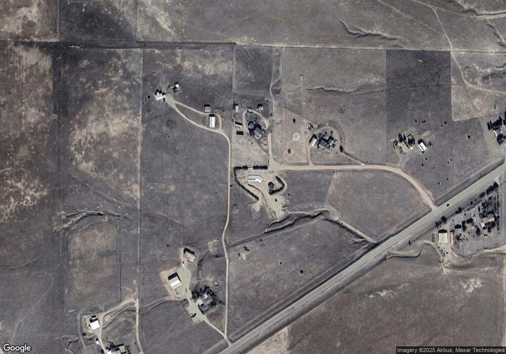
Map
Nearby Homes
- 7787 State Hwy 78
- Lot 14 Good Pasture Dr
- 0 Good Pasture Dr Unit 1451484
- Lot 60 Garrett Rd
- Lot 62 Garrett Rd
- Lot 21 Good Pasture Dr
- Lot 36 Hart Ranch Dr Unit 36
- Lot 36 Hart Ranch Dr
- 5843 Hart Ranch Dr
- 8201 State Highway 78 W
- 5400 Turtle Butte Rd
- TBD Hart Ranch Rd
- TBD Waterbarrel Rd
- 6100 Waterbarrel Rd
- Tbd Savage Rd
- 8689 Douglas Ln
- 6430 Signal Mountain Rd
- 8684 Pine Dr
- 8719 Ponderosa Pine Dr
- 6039 Roosevelt Ave
- 7711 State Highway 78 W
- 7709 State Highway 78 W
- 7787 State Highway 78 W
- 7745 State Highway 78 W
- 7787 Colorado 78
- 7705 State Highway 78 W
- 7704 State Highway 78 W
- 7791 State Highway 78 W
- 7791 Highway 78 W
- 7791 State Highway 78 W
- 7796 Colorado 78
- 7796 State Highway 78 W
- 7811 State Highway 78 W
- 7821 State Highway 78 W
- 0 Burnt Mill Rd Unit 105058
- 0 Burnt Mill Rd Unit 97632
- 0 Burnt Mill Rd Unit 91960
- 0 Burnt Mill Rd Unit 7 99906
- 0 Burnt Mill Rd Unit 8 99914
- 0 Burnt Mill Rd Unit .3 90992