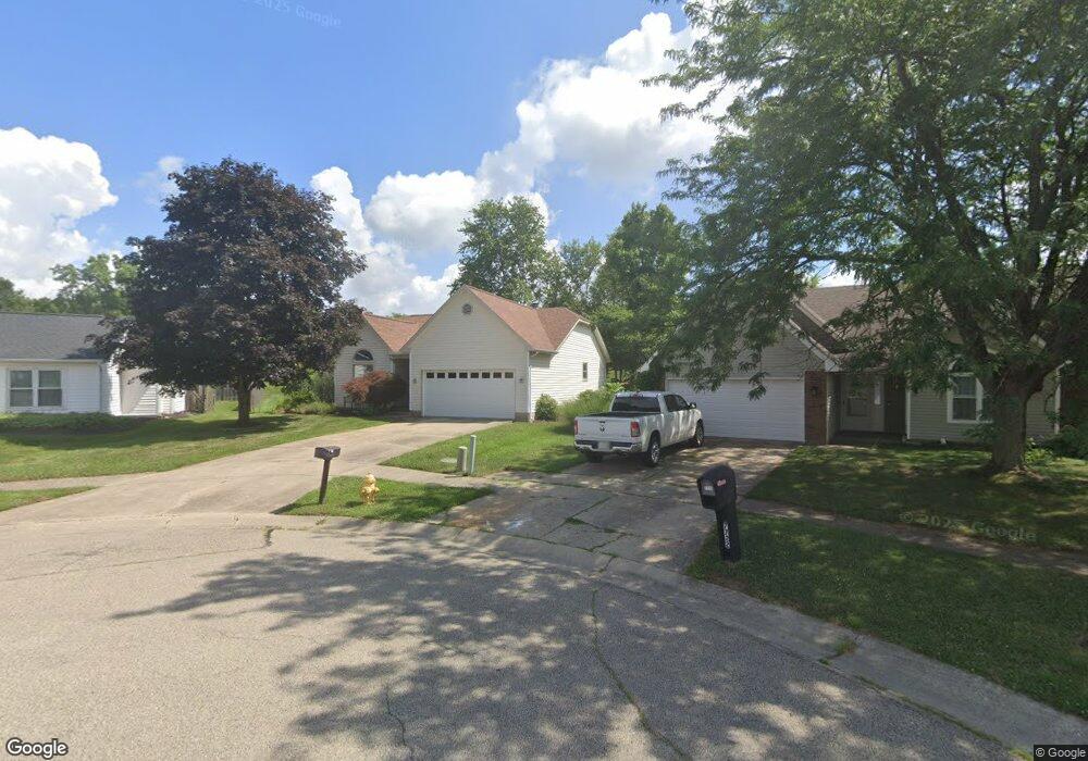
7716 Jason Ct Liberty Township, OH 45044
Estimated Value: $291,000 - $320,000
3
Beds
2
Baths
1,371
Sq Ft
$222/Sq Ft
Est. Value
About This Home
This home is located at 7716 Jason Ct, Liberty Township, OH 45044 and is currently estimated at $304,183, approximately $221 per square foot. 7716 Jason Ct is a home located in Butler County with nearby schools including Independence Elementary School, Liberty Junior School, and Lakota East High School.
Ownership History
Date
Name
Owned For
Owner Type
Purchase Details
Closed on
Aug 8, 2022
Sold by
Perkins Richard A and Perkins Deirdre A
Bought by
Perkins Richard A and Perkins Deirdre A
Current Estimated Value
Purchase Details
Closed on
Aug 27, 2009
Sold by
Perkins Richard A
Bought by
Perkins Richard A and Perkins Deirdre A
Purchase Details
Closed on
Oct 22, 2004
Sold by
Perkins Deirdre A and Perkins Richard A
Bought by
Perkins Richard A
Home Financials for this Owner
Home Financials are based on the most recent Mortgage that was taken out on this home.
Original Mortgage
$120,000
Interest Rate
7.87%
Mortgage Type
Stand Alone Refi Refinance Of Original Loan
Create a Home Valuation Report for This Property
The Home Valuation Report is an in-depth analysis detailing your home's value as well as a comparison with similar homes in the area
Home Values in the Area
Average Home Value in this Area
Purchase History
| Date | Buyer | Sale Price | Title Company |
|---|---|---|---|
| Perkins Richard A | -- | Brock T Blain | |
| Perkins Richard A | -- | Prodigy Title Agency | |
| Perkins Richard A | -- | Classic Title Agency Llc |
Source: Public Records
Mortgage History
| Date | Status | Borrower | Loan Amount |
|---|---|---|---|
| Previous Owner | Perkins Richard A | $120,000 | |
| Closed | Perkins Richard A | $30,000 |
Source: Public Records
Tax History Compared to Growth
Tax History
| Year | Tax Paid | Tax Assessment Tax Assessment Total Assessment is a certain percentage of the fair market value that is determined by local assessors to be the total taxable value of land and additions on the property. | Land | Improvement |
|---|---|---|---|---|
| 2024 | $2,944 | $83,700 | $6,480 | $77,220 |
| 2023 | $2,921 | $83,700 | $6,480 | $77,220 |
| 2022 | $2,621 | $61,030 | $6,480 | $54,550 |
| 2021 | $2,607 | $61,030 | $6,480 | $54,550 |
| 2020 | $2,674 | $61,030 | $6,480 | $54,550 |
| 2019 | $4,602 | $47,770 | $6,450 | $41,320 |
| 2018 | $2,239 | $47,770 | $6,450 | $41,320 |
| 2017 | $2,281 | $47,770 | $6,450 | $41,320 |
| 2016 | $1,980 | $42,310 | $6,450 | $35,860 |
| 2015 | $1,929 | $42,310 | $6,450 | $35,860 |
| 2014 | $1,811 | $42,310 | $6,450 | $35,860 |
| 2013 | $1,811 | $39,080 | $6,450 | $32,630 |
Source: Public Records
Map
Nearby Homes
- 6405 Cincinnati Dayton Rd
- 6335 Gem Stone Dr
- 7644 Millikin Rd
- 7798 Derbyshire Ct
- 8091 Green Lake Dr
- 6681 Cincinnati Dayton Rd
- 7241 Stonebrook Ct
- 6703 Cincinnati Dayton Rd
- 7232 Eaglestone Ct
- 7162 Wyandot Ln
- 6821 Cincinnati Dayton Rd
- 5913 Stones Throw Way
- 7120 Shady Brook Bend
- 5933 Old Pebble Path
- 7108 Shady Brook Bend
- 8334 Verbena Ln
- 7113 Shady Brook Bend
- 8319 Verbena Ln
- 7109 Maple Creek Dr
- 7147 Wilhelmina Dr
- 7710 Jason Ct
- 7725 Jason Ct
- 7702 Jason Ct
- 6319 Lakota Meadows Dr
- 6313 Lakota Meadows Dr
- 7717 Jason Ct
- 7711 Jason Ct
- 6325 Lakota Meadows Dr
- 6310 Lakota Meadows Dr
- 7710 Princeton Rd
- 6331 Lakota Meadows Dr
- 7716 Davidson St
- 6303 Jamison Way
- 7722 Davidson St
- 6311 Jamison Way
- 7710 Davidson St
- 6316 Lakota Meadows Dr
- 6342 Jamison Way
- 6319 Jamison Way
- 7682 Princeton Rd