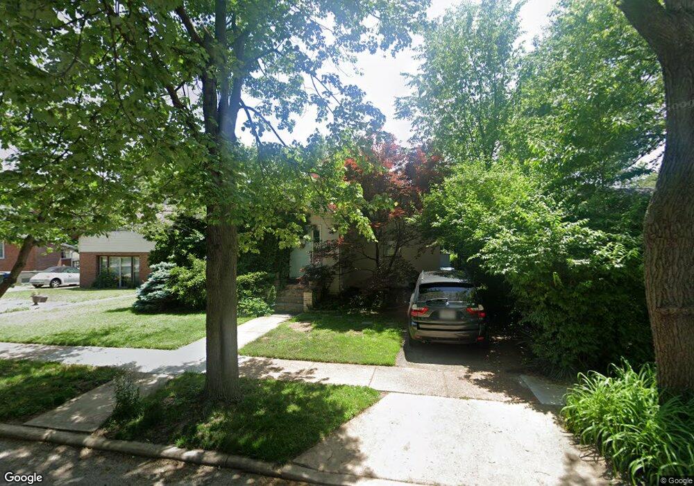
7716 Weston Place Saint Louis, MO 63117
Estimated Value: $314,000 - $362,000
2
Beds
2
Baths
1,740
Sq Ft
$193/Sq Ft
Est. Value
About This Home
This home is located at 7716 Weston Place, Saint Louis, MO 63117 and is currently estimated at $336,001, approximately $193 per square foot. 7716 Weston Place is a home located in St. Louis County with nearby schools including Maplewood Richmond Heights Elementary School, Maplewood Richmond Heights Middle School, and Maplewood-Richmond Heights High School.
Ownership History
Date
Name
Owned For
Owner Type
Purchase Details
Closed on
Dec 20, 2022
Sold by
Scott John M and Scott Gloria E
Bought by
Scott Living Trust
Current Estimated Value
Purchase Details
Closed on
Apr 4, 2007
Sold by
Scott Gloria E and Scott John M
Bought by
Scott John M and Scott Gloria E
Home Financials for this Owner
Home Financials are based on the most recent Mortgage that was taken out on this home.
Original Mortgage
$165,000
Interest Rate
6.24%
Mortgage Type
New Conventional
Create a Home Valuation Report for This Property
The Home Valuation Report is an in-depth analysis detailing your home's value as well as a comparison with similar homes in the area
Home Values in the Area
Average Home Value in this Area
Purchase History
| Date | Buyer | Sale Price | Title Company |
|---|---|---|---|
| Scott Living Trust | -- | -- | |
| Scott John M | -- | Clt |
Source: Public Records
Mortgage History
| Date | Status | Borrower | Loan Amount |
|---|---|---|---|
| Previous Owner | Scott John M | $165,000 |
Source: Public Records
Tax History
| Year | Tax Paid | Tax Assessment Tax Assessment Total Assessment is a certain percentage of the fair market value that is determined by local assessors to be the total taxable value of land and additions on the property. | Land | Improvement |
|---|---|---|---|---|
| 2025 | $4,289 | $64,220 | $33,060 | $31,160 |
| 2024 | $4,289 | $55,970 | $23,140 | $32,830 |
| 2023 | $4,289 | $55,970 | $23,140 | $32,830 |
| 2022 | $3,906 | $47,520 | $23,140 | $24,380 |
| 2021 | $3,839 | $47,520 | $23,140 | $24,380 |
| 2020 | $3,541 | $41,530 | $16,510 | $25,020 |
| 2019 | $3,513 | $41,530 | $16,510 | $25,020 |
| 2018 | $3,353 | $35,950 | $11,760 | $24,190 |
| 2017 | $3,330 | $35,950 | $11,760 | $24,190 |
| 2016 | $2,148 | $22,230 | $9,860 | $12,370 |
| 2015 | $2,020 | $22,230 | $9,860 | $12,370 |
| 2014 | $1,768 | $19,490 | $4,730 | $14,760 |
Source: Public Records
Map
Nearby Homes
- 7765 Weston Place
- 7721 W Ranken Ave
- 1502 Bredell Ave
- 7906 Elinor Ave
- 7923 W Bruno Ave
- 7615 Folk Ave
- 7530 Williams Ave
- 1501 Stockard Ave
- 1510 Banneker Ave
- 1432 Woodland Dr
- 1731 Boneta Ave
- 7479 Hiawatha Ave
- 1270 Strassner Dr Unit 3408
- 7718 Lile Ave
- 1248 Laclede Station Rd
- 8021 Bennett Ave
- 7334 Bruno Ave
- 1140 Ralph Terrace
- 7429 Warner Ave
- 7420 Wise Ave
- 7714 Weston Place
- 7718 Weston Place
- 7712 Weston Place
- 7728 Weston Place
- 7710 Weston Place
- 7723 W Bruno Ave
- 7727 W Bruno Ave
- 7732 Weston Place
- 7719 W Bruno Ave
- 7733 W Bruno Ave
- 7717 Weston Place
- 900 N Taylor Ave
- 7715 Weston Place
- 7708 Weston Place
- 7719 Weston Place
- 7713 Weston Place
- 7721 Weston Place
- 7735 W Bruno Ave
- 7736 Weston Place
- 7711 Weston Place
Your Personal Tour Guide
Ask me questions while you tour the home.