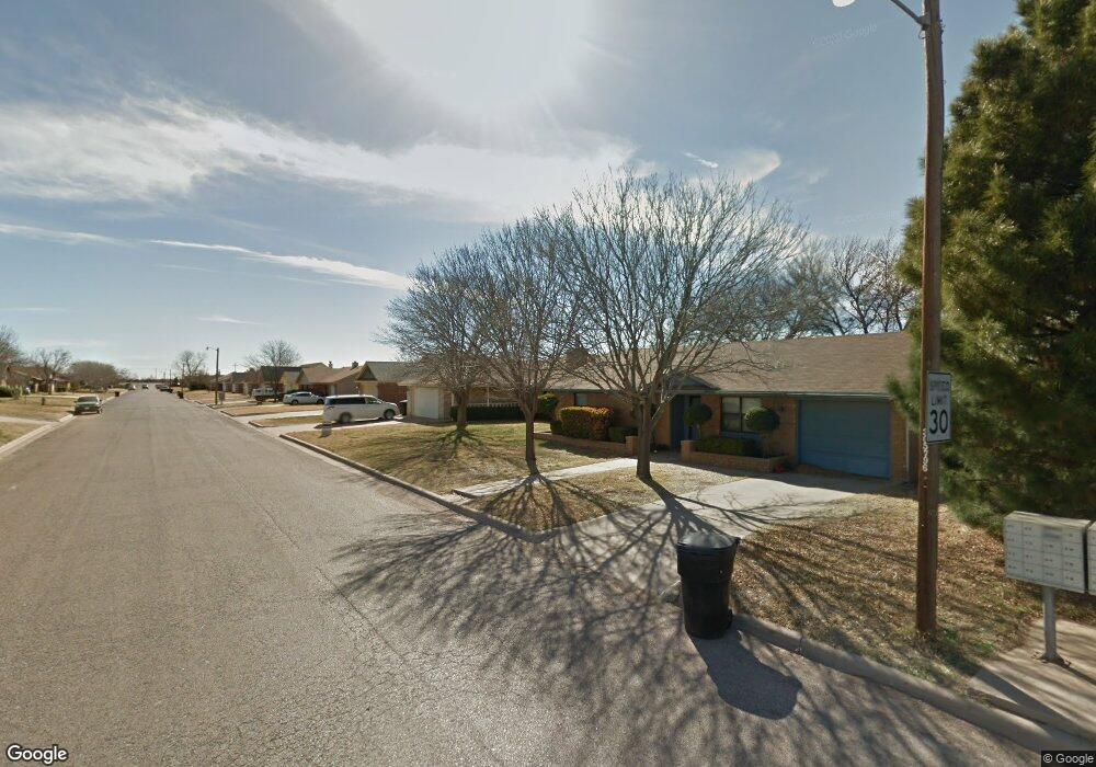
7718 White Blvd Abilene, TX 79606
Far Southside NeighborhoodEstimated Value: $199,000 - $205,000
3
Beds
2
Baths
1,173
Sq Ft
$172/Sq Ft
Est. Value
About This Home
This home is located at 7718 White Blvd, Abilene, TX 79606 and is currently estimated at $201,369, approximately $171 per square foot. 7718 White Blvd is a home located in Taylor County with nearby schools including Wylie West Early Childhood Center, Wylie West Intermediate School, and Wylie West Elementary School.
Ownership History
Date
Name
Owned For
Owner Type
Purchase Details
Closed on
Nov 30, 2018
Sold by
Martinez Kursten D Lynn
Bought by
Martinez Mathew Paul
Current Estimated Value
Purchase Details
Closed on
Mar 1, 2013
Sold by
Molnar Robert M and Molnar Sarah M
Bought by
Martinez Matthew and Martinez Kursten
Home Financials for this Owner
Home Financials are based on the most recent Mortgage that was taken out on this home.
Original Mortgage
$98,188
Interest Rate
3.75%
Mortgage Type
FHA
Purchase Details
Closed on
Dec 27, 2005
Sold by
Kilcullen James G and Kilcullen Dawn D
Bought by
Molnar Robert M and Molnar Sarah M
Home Financials for this Owner
Home Financials are based on the most recent Mortgage that was taken out on this home.
Original Mortgage
$90,900
Interest Rate
6.3%
Mortgage Type
New Conventional
Create a Home Valuation Report for This Property
The Home Valuation Report is an in-depth analysis detailing your home's value as well as a comparison with similar homes in the area
Home Values in the Area
Average Home Value in this Area
Purchase History
| Date | Buyer | Sale Price | Title Company |
|---|---|---|---|
| Martinez Mathew Paul | -- | None Available | |
| Martinez Matthew | -- | None Available | |
| Molnar Robert M | -- | None Available |
Source: Public Records
Mortgage History
| Date | Status | Borrower | Loan Amount |
|---|---|---|---|
| Previous Owner | Martinez Matthew | $98,188 | |
| Previous Owner | Molnar Robert M | $90,900 |
Source: Public Records
Tax History Compared to Growth
Tax History
| Year | Tax Paid | Tax Assessment Tax Assessment Total Assessment is a certain percentage of the fair market value that is determined by local assessors to be the total taxable value of land and additions on the property. | Land | Improvement |
|---|---|---|---|---|
| 2025 | $2,773 | $186,087 | -- | -- |
| 2023 | $2,773 | $153,791 | $0 | $0 |
| 2022 | $3,299 | $139,810 | $0 | $0 |
| 2021 | $3,274 | $127,100 | $10,560 | $116,540 |
| 2020 | $3,055 | $116,643 | $10,560 | $106,083 |
| 2019 | $3,041 | $112,610 | $9,240 | $103,370 |
| 2018 | $2,810 | $112,265 | $9,240 | $103,025 |
| 2017 | $2,716 | $112,635 | $9,240 | $103,395 |
| 2016 | $2,556 | $105,983 | $9,240 | $96,743 |
| 2015 | $2,003 | $105,279 | $9,240 | $96,039 |
| 2014 | $2,003 | $101,952 | $0 | $0 |
Source: Public Records
Map
Nearby Homes
- 7967 Bonnie Cir
- 3809 Mark Ct
- 8073 Bonnie Cir
- 7501 White Blvd
- 7801 Old Forrest Hill Rd
- 8201 Cimarron Trail
- 7710 John Carroll Dr
- 8326 Cimarron Trail
- 4634 Beall Blvd
- 7717 Vineyard Dr
- 7665 Vineyard Dr
- 7718 Florence Dr
- 7650 Florence Dr
- 7681 Florence Dr
- 4410 Sierra Sunset
- 7817 Tuscany Dr
- 5001 Buffalo Gap Rd
- 7626 Venice Dr
- 6947 Forrest Meadows Dr
- 6642 Buffalo Gap Rd