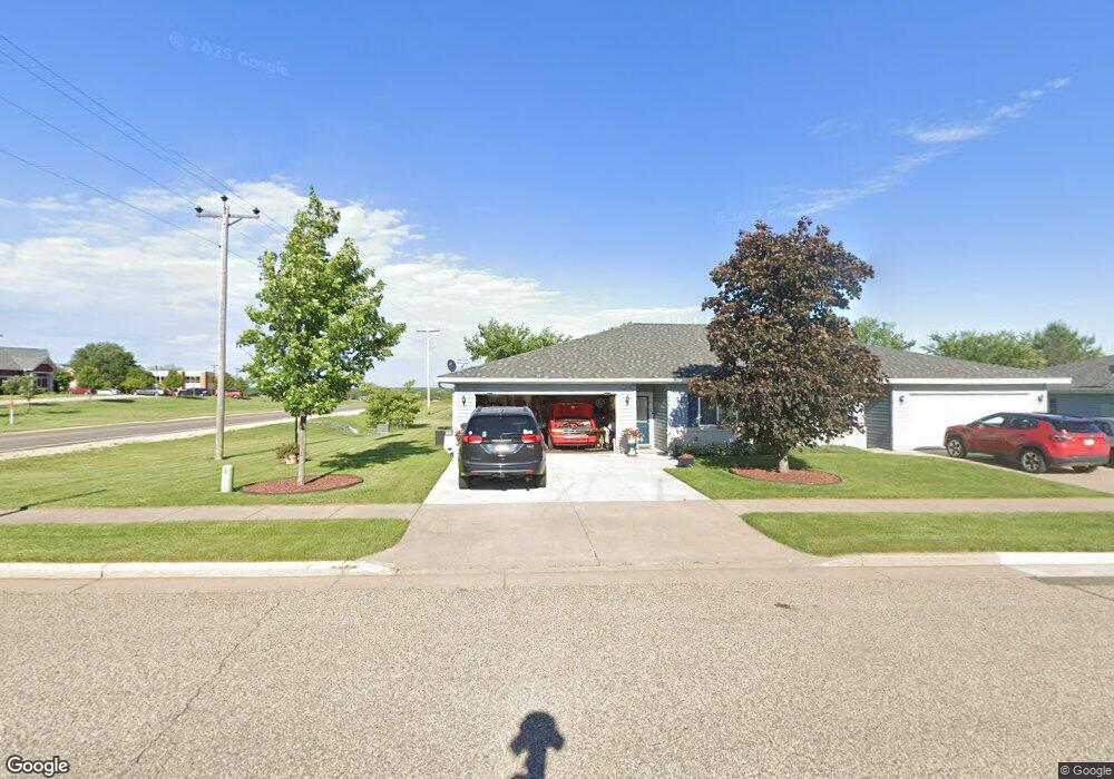
772 Brigetta Dr New Richmond, WI 54017
Estimated Value: $264,000 - $358,000
3
Beds
2
Baths
--
Sq Ft
0.3
Acres
About This Home
This home is located at 772 Brigetta Dr, New Richmond, WI 54017 and is currently estimated at $292,952. 772 Brigetta Dr is a home located in St. Croix County with nearby schools including New Richmond High School and St. Mary School.
Ownership History
Date
Name
Owned For
Owner Type
Purchase Details
Closed on
Jan 31, 2011
Sold by
Fannie Mae
Bought by
Klein Timothy M and Klein Deborah A
Current Estimated Value
Home Financials for this Owner
Home Financials are based on the most recent Mortgage that was taken out on this home.
Original Mortgage
$95,515
Outstanding Balance
$65,545
Interest Rate
4.84%
Mortgage Type
FHA
Estimated Equity
$227,407
Purchase Details
Closed on
Oct 5, 2010
Sold by
Hirsch Pamela
Bought by
Federal National Mortgage Association
Purchase Details
Closed on
Dec 1, 2006
Sold by
Bass Lake Inc
Bought by
Hirsch Pamela K
Home Financials for this Owner
Home Financials are based on the most recent Mortgage that was taken out on this home.
Original Mortgage
$125,600
Interest Rate
6.75%
Mortgage Type
Adjustable Rate Mortgage/ARM
Create a Home Valuation Report for This Property
The Home Valuation Report is an in-depth analysis detailing your home's value as well as a comparison with similar homes in the area
Home Values in the Area
Average Home Value in this Area
Purchase History
| Date | Buyer | Sale Price | Title Company |
|---|---|---|---|
| Klein Timothy M | -- | None Available | |
| Federal National Mortgage Association | -- | None Available | |
| Hirsch Pamela K | -- | River Valley Abs Title |
Source: Public Records
Mortgage History
| Date | Status | Borrower | Loan Amount |
|---|---|---|---|
| Open | Klein Timothy M | $95,515 | |
| Previous Owner | Hirsch Pamela K | $125,600 |
Source: Public Records
Tax History Compared to Growth
Tax History
| Year | Tax Paid | Tax Assessment Tax Assessment Total Assessment is a certain percentage of the fair market value that is determined by local assessors to be the total taxable value of land and additions on the property. | Land | Improvement |
|---|---|---|---|---|
| 2024 | $33 | $240,700 | $10,000 | $230,700 |
| 2023 | $3,129 | $231,800 | $10,000 | $221,800 |
| 2022 | $1,845 | $149,100 | $10,000 | $139,100 |
| 2021 | $1,926 | $132,400 | $10,000 | $122,400 |
| 2020 | $1,932 | $88,200 | $10,000 | $78,200 |
| 2019 | $1,847 | $88,200 | $10,000 | $78,200 |
| 2018 | $1,889 | $88,200 | $10,000 | $78,200 |
| 2017 | $1,803 | $88,200 | $10,000 | $78,200 |
| 2016 | $1,803 | $88,200 | $10,000 | $78,200 |
| 2015 | $1,840 | $88,200 | $10,000 | $78,200 |
| 2014 | $1,922 | $88,200 | $10,000 | $78,200 |
| 2013 | $1,883 | $88,200 | $10,000 | $78,200 |
Source: Public Records
Map
Nearby Homes
- 1787 Saint Andrews Place
- 1777 George Norman Dr
- 881 Coleman Dr
- 1256 195th Ave
- 305 S Pierson Ave
- 227 N 4th St
- 217 N 2nd St
- 548 W 4th St
- 1176 Carroll St
- 1142 W Edge Place
- XXX 140th Ave
- 941 W Edge Place Unit 14
- 225 W 2nd St
- 1016 W Ridge Ct
- XXXX 110th St
- 1418 Bluff Border Rd
- 6 W North Shore Dr
- 2 W North Shore Dr
- 425 W 8th St Unit 23
- 425 W 8th St Unit 24