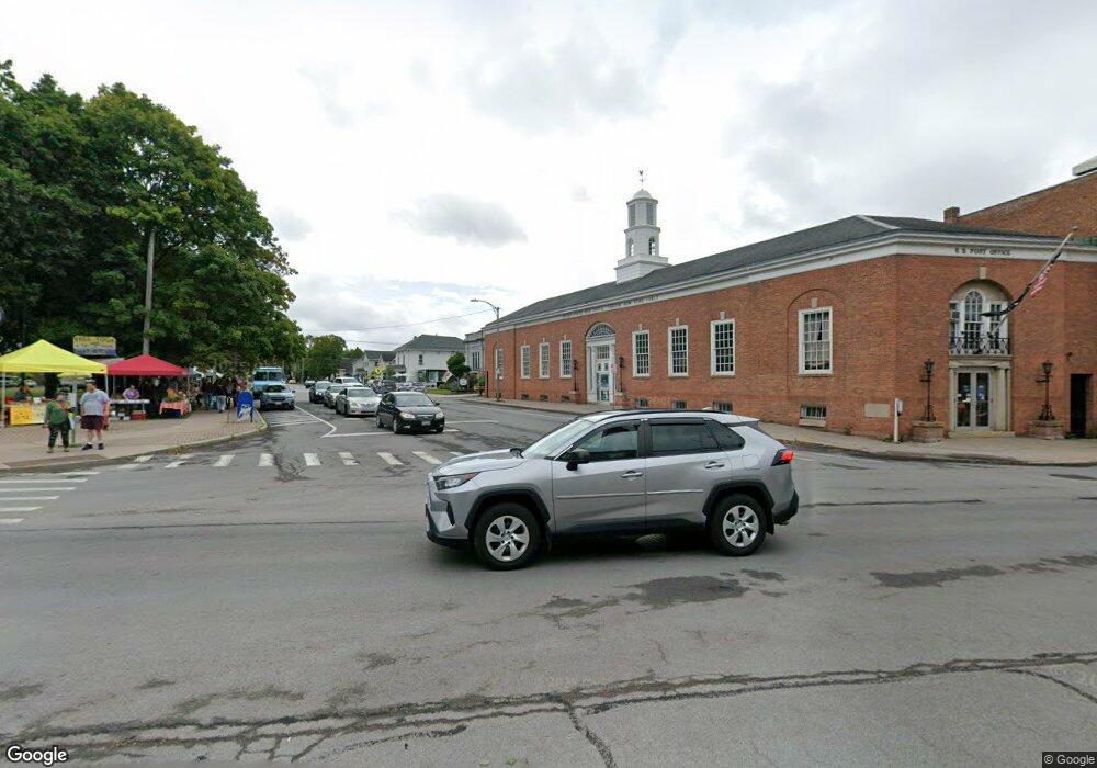
772 County Route 25 Canton, NY 13617
Estimated Value: $191,058 - $221,000
3
Beds
1
Bath
1,724
Sq Ft
$119/Sq Ft
Est. Value
About This Home
This home is located at 772 County Route 25, Canton, NY 13617 and is currently estimated at $205,265, approximately $119 per square foot. 772 County Route 25 is a home located in St. Lawrence County with nearby schools including Edwards-Knox Elementary School, Edwards-Knox Junior/Senior High School, and Little River Community School.
Ownership History
Date
Name
Owned For
Owner Type
Purchase Details
Closed on
May 30, 2012
Sold by
Stone William J and Shields Kelly J
Bought by
Lapoint Christopher L and Lapoint Tara C
Current Estimated Value
Home Financials for this Owner
Home Financials are based on the most recent Mortgage that was taken out on this home.
Original Mortgage
$126,704
Outstanding Balance
$88,098
Interest Rate
3.9%
Mortgage Type
FHA
Estimated Equity
$117,167
Purchase Details
Closed on
Sep 28, 1999
Sold by
Gould John and Gould Mary
Bought by
Stone William J
Create a Home Valuation Report for This Property
The Home Valuation Report is an in-depth analysis detailing your home's value as well as a comparison with similar homes in the area
Home Values in the Area
Average Home Value in this Area
Purchase History
| Date | Buyer | Sale Price | Title Company |
|---|---|---|---|
| Lapoint Christopher L | $130,000 | None Available | |
| Stone William J | $87,000 | -- |
Source: Public Records
Mortgage History
| Date | Status | Borrower | Loan Amount |
|---|---|---|---|
| Open | Lapoint Christopher L | $126,704 |
Source: Public Records
Tax History Compared to Growth
Tax History
| Year | Tax Paid | Tax Assessment Tax Assessment Total Assessment is a certain percentage of the fair market value that is determined by local assessors to be the total taxable value of land and additions on the property. | Land | Improvement |
|---|---|---|---|---|
| 2024 | $3,895 | $87,100 | $7,500 | $79,600 |
| 2023 | $3,554 | $87,100 | $7,500 | $79,600 |
| 2022 | $4,073 | $87,100 | $7,500 | $79,600 |
| 2021 | $4,353 | $104,000 | $70,000 | $34,000 |
| 2020 | $4,434 | $104,000 | $70,000 | $34,000 |
| 2019 | $4,151 | $104,000 | $70,000 | $34,000 |
| 2018 | $4,151 | $104,000 | $70,000 | $34,000 |
| 2017 | $4,171 | $104,000 | $70,000 | $34,000 |
| 2016 | $4,160 | $104,000 | $70,000 | $34,000 |
| 2015 | -- | $104,000 | $70,000 | $34,000 |
| 2014 | -- | $104,000 | $70,000 | $34,000 |
Source: Public Records
Map
Nearby Homes
- 779 County Route 25
- 5533 County Route 24
- 230 Donnerville Rd
- 1472 Cr 17
- 1638 State Highway 68
- 1734 New York 68
- 126 Pike Rd
- 5730 County Road 24
- 86 County Road 35
- 0 County Route 19 Unit 51602
- Burnell Rd
- Off Cr 27
- 00 Burnell Rd
- 520 Old Route 11
- 10 Tallman Rd
- 5811 Ush 11
- 5966 County Route 24
- 67 Lincoln St
- 97 Miner St
- 45 Buck St
- 680 West Rd
- 806 County Route 25
- 820 County Route 25
- 795 County Route 25
- 828 County Route 25
- 887 County Route 25 Unit 891
- 805 County Route 25
- 821 County Route 25
- 893 County Route 25
- 887 County Route 25
- 581 West Rd Unit 581A
- 308 Hill Rd
- 899 County Route 25
- 35 Dutton Rd
- 305 Hill Rd
- 612 Cr 25
- 304 Hill Rd
- 928 County Route 25
- 0 Colton Rd Unit 39883
- 0 Dutton Rd Unit S1084274
