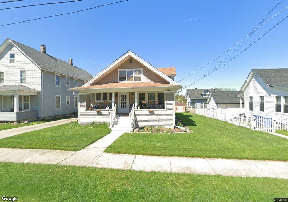
772 High St Aurora, IL 60505
Pigeon Hill NeighborhoodEstimated Value: $202,714 - $257,000
2
Beds
1
Bath
1,064
Sq Ft
$214/Sq Ft
Est. Value
About This Home
This home is located at 772 High St, Aurora, IL 60505 and is currently estimated at $227,679, approximately $213 per square foot. 772 High St is a home located in Kane County with nearby schools including Nicholas A Hermes Elementary School, Simmons Middle School, and East Aurora High School.
Ownership History
Date
Name
Owned For
Owner Type
Purchase Details
Closed on
Apr 25, 2005
Sold by
Molnar Michael
Bought by
Tracy Kevin
Current Estimated Value
Home Financials for this Owner
Home Financials are based on the most recent Mortgage that was taken out on this home.
Original Mortgage
$266,000
Outstanding Balance
$143,384
Interest Rate
6.37%
Mortgage Type
Purchase Money Mortgage
Estimated Equity
$84,295
Purchase Details
Closed on
Nov 30, 1995
Sold by
Moore Anna M and Moore Laverne
Bought by
Molnar Michael
Create a Home Valuation Report for This Property
The Home Valuation Report is an in-depth analysis detailing your home's value as well as a comparison with similar homes in the area
Home Values in the Area
Average Home Value in this Area
Purchase History
| Date | Buyer | Sale Price | Title Company |
|---|---|---|---|
| Tracy Kevin | $107,000 | First American Title | |
| Molnar Michael | -- | Law Title Ins Co | |
| Molnar Michael | $62,500 | Law Title Ins Co |
Source: Public Records
Mortgage History
| Date | Status | Borrower | Loan Amount |
|---|---|---|---|
| Open | Tracy Kevin | $266,000 |
Source: Public Records
Tax History
| Year | Tax Paid | Tax Assessment Tax Assessment Total Assessment is a certain percentage of the fair market value that is determined by local assessors to be the total taxable value of land and additions on the property. | Land | Improvement |
|---|---|---|---|---|
| 2024 | $3,115 | $53,439 | $9,475 | $43,964 |
| 2023 | $2,970 | $47,748 | $8,466 | $39,282 |
| 2022 | $2,854 | $43,565 | $7,724 | $35,841 |
| 2021 | $2,790 | $40,559 | $7,191 | $33,368 |
| 2020 | $2,634 | $37,673 | $6,679 | $30,994 |
| 2019 | $2,685 | $36,476 | $6,188 | $30,288 |
| 2018 | $2,328 | $31,569 | $5,724 | $25,845 |
| 2017 | $2,172 | $28,152 | $5,274 | $22,878 |
| 2016 | $2,071 | $25,681 | $5,319 | $20,362 |
| 2015 | -- | $22,865 | $4,574 | $18,291 |
| 2014 | -- | $21,831 | $4,204 | $17,627 |
| 2013 | -- | $22,563 | $4,463 | $18,100 |
Source: Public Records
Map
Nearby Homes
- 773 Aurora Ave
- 304 Hankes Ave
- 920 Zenner Ave
- 1009 Assell Ave
- 953 Sheffer Rd
- 611 Pierce St
- 617 Cleveland St
- 1220 Mitchell Rd
- 608 Front St
- 14-18 N Lake St
- 747 Delius St
- 479 N Lake St
- 1160 N Ohio St Unit 62
- 605 Grove St
- 469 N Lake St
- 907 Harley Ct
- 906 Grove St
- 913 Superior St
- 355 Lawndale Ave
- 338 Lakelawn Blvd
Your Personal Tour Guide
Ask me questions while you tour the home.