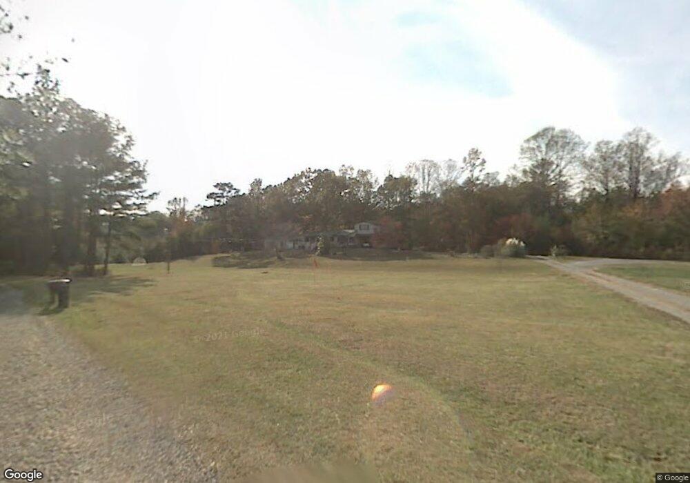
772 Keith Rd SE Dalton, GA 30721
Estimated Value: $244,196 - $322,000
Studio
2
Baths
2,488
Sq Ft
$117/Sq Ft
Est. Value
About This Home
This home is located at 772 Keith Rd SE, Dalton, GA 30721 and is currently estimated at $292,299, approximately $117 per square foot. 772 Keith Rd SE is a home located in Whitfield County with nearby schools including Cedar Ridge Elementary School, Eastbrook Middle School, and Southeast Whitfield County High School.
Ownership History
Date
Name
Owned For
Owner Type
Purchase Details
Closed on
Sep 13, 2016
Sold by
Holmes William Jerry
Bought by
Holmes Sherry L
Current Estimated Value
Create a Home Valuation Report for This Property
The Home Valuation Report is an in-depth analysis detailing your home's value as well as a comparison with similar homes in the area
Purchase History
| Date | Buyer | Sale Price | Title Company |
|---|---|---|---|
| Holmes Sherry L | -- | -- | |
| Holmes Sherry L | -- | -- |
Source: Public Records
Tax History
| Year | Tax Paid | Tax Assessment Tax Assessment Total Assessment is a certain percentage of the fair market value that is determined by local assessors to be the total taxable value of land and additions on the property. | Land | Improvement |
|---|---|---|---|---|
| 2025 | $1,984 | $89,487 | $5,502 | $83,985 |
| 2024 | $1,984 | $89,487 | $5,502 | $83,985 |
| 2023 | $1,815 | $63,378 | $3,521 | $59,857 |
| 2022 | $534 | $47,657 | $3,455 | $44,202 |
| 2021 | $535 | $47,657 | $3,455 | $44,202 |
| 2020 | $562 | $47,657 | $3,455 | $44,202 |
| 2019 | $576 | $47,657 | $3,455 | $44,202 |
| 2018 | $1,187 | $46,948 | $2,746 | $44,202 |
| 2017 | $1,187 | $46,948 | $2,746 | $44,202 |
| 2016 | $1,036 | $43,021 | $2,746 | $40,275 |
| 2014 | $1,000 | $44,537 | $4,262 | $40,275 |
| 2013 | -- | $44,537 | $4,262 | $40,274 |
Source: Public Records
Map
Nearby Homes
- 4322 Banks Dr SE
- 185 Cedar Ridge Rd
- 0 SE Betty Ave
- 654 Keith Mill Rd SE
- 1129 Mobley Mill Rd SE
- 0 Tibbs Bridge Rd SE
- 01 Headrick Cir SE
- 3657 Airport Rd
- 404 Lakeview Dr SE
- 3407 Airport Rd SE
- 1142 Ben Hill Rd SE
- 0 Old Grade Rd
- 0 Cheree Way Unit 129259
- 129 Hillwood Dr
- 0 Ridge Rd SE Unit 1528911
- 165 Stanley St Unit 560-561
- 112 Gillespie Dr
- 0 Leon Cir
- 00 Hill Rd
- 216 Scobie Ave
- 0 Keith Dr SE Unit 109257
- 768 Keith Rd SE
- 768 Keith Rd SE
- 791 Keith Rd SE
- 789 Keith Rd SE
- 764 Keith Rd SE
- 4304 Banks Dr SE
- 760 Keith Rd SE
- 782 Keith Rd SE
- 754 Keith Rd SE
- 4301 Banks Dr SE
- 4318 Banks Dr SE
- 4318 Banks Dr SE
- 744 Keith Rd SE
- 759 Keith Rd SE
- 4316 Banks Dr SE
- 4328 Banks Dr SE
- 4322 Banks Dr SE Unit C
- 4322 Banks Dr SE Unit 1
- 4322 Banks Dr SE Unit B
Your Personal Tour Guide
Ask me questions while you tour the home.