772 Lent Stephens Rd Vidalia, GA 30474
Estimated Value: $314,000 - $407,930
--
Bed
3
Baths
2,731
Sq Ft
$130/Sq Ft
Est. Value
About This Home
This home is located at 772 Lent Stephens Rd, Vidalia, GA 30474 and is currently estimated at $354,977, approximately $129 per square foot. 772 Lent Stephens Rd is a home located in Toombs County with nearby schools including Toombs County High School and Paul Anderson High School.
Ownership History
Date
Name
Owned For
Owner Type
Purchase Details
Closed on
Mar 7, 2011
Sold by
Green Loretta
Bought by
Green Russell
Current Estimated Value
Purchase Details
Closed on
Feb 22, 2006
Sold by
Carver Danny
Bought by
Green Russell and Green Loretta
Home Financials for this Owner
Home Financials are based on the most recent Mortgage that was taken out on this home.
Original Mortgage
$199,750
Outstanding Balance
$111,450
Interest Rate
6.05%
Mortgage Type
New Conventional
Estimated Equity
$243,527
Purchase Details
Closed on
Sep 12, 2005
Sold by
Green Russell
Bought by
Carver Danny
Create a Home Valuation Report for This Property
The Home Valuation Report is an in-depth analysis detailing your home's value as well as a comparison with similar homes in the area
Home Values in the Area
Average Home Value in this Area
Purchase History
| Date | Buyer | Sale Price | Title Company |
|---|---|---|---|
| Green Russell | -- | -- | |
| Green Russell | -- | -- | |
| Carver Danny | -- | -- |
Source: Public Records
Mortgage History
| Date | Status | Borrower | Loan Amount |
|---|---|---|---|
| Open | Green Russell | $199,750 |
Source: Public Records
Tax History Compared to Growth
Tax History
| Year | Tax Paid | Tax Assessment Tax Assessment Total Assessment is a certain percentage of the fair market value that is determined by local assessors to be the total taxable value of land and additions on the property. | Land | Improvement |
|---|---|---|---|---|
| 2024 | $3,752 | $165,450 | $14,500 | $150,950 |
| 2023 | $3,744 | $159,924 | $14,500 | $145,424 |
| 2022 | $3,220 | $137,539 | $9,062 | $128,477 |
| 2021 | $2,568 | $106,654 | $9,062 | $97,592 |
| 2020 | $2,560 | $103,939 | $8,700 | $95,239 |
| 2019 | $2,456 | $103,939 | $8,700 | $95,239 |
| 2018 | $2,454 | $103,939 | $8,700 | $95,239 |
| 2017 | $2,532 | $106,820 | $8,700 | $98,120 |
| 2016 | $2,532 | $106,820 | $8,700 | $98,120 |
| 2015 | -- | $93,362 | $6,750 | $86,612 |
| 2014 | -- | $93,362 | $6,750 | $86,612 |
Source: Public Records
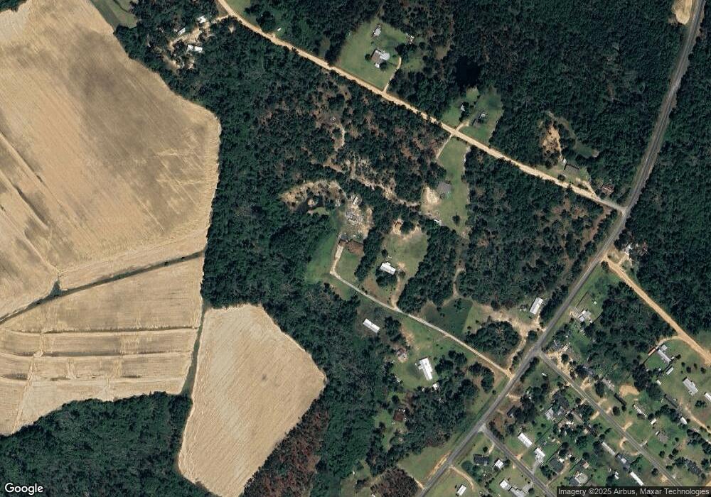
Map
Nearby Homes
- 161 Jane Dr
- 1401 Orange St
- 110 Ryan St
- 902 E Grossman Dr
- 1902 Lance Ct
- 607 W Oxley Blvd
- 0 Inizer Dr
- 100 Fowler St
- 0 English Oak Dr
- 902 Georgia St
- 407 Orange St
- 203 Wilshire Blvd
- 104 Sunset Dr
- 1106 Brice Rd
- 0 Hwy 292 Unit 20251
- 1012 Mount Vernon Rd
- 209 Montgomery St
- 407 Darby Dr
- 801 Warthen St
- 400 Kenworth St
- 778 Lent Stephens Rd
- 291 Otis Willis Rd
- 282 Otis Willis Rd
- 830 Lent Stephens Rd
- 714 Lent Stephens Rd
- 844 Lent Stephens Rd
- 767 Lent Stephens Rd
- 945 Allen Dr
- 707 Lent Stephens Rd
- 326 Otis Willis Rd
- 938 Allen Dr
- 833 Lent Stephens Rd
- 941 Allen Dr
- 00 Lent Stephens Rd
- 950 Scott Dr
- 942 Allen Dr
- 940 Allen Dr
- 134 Byrd Ln
- 923 Scott Dr
- 370 Otis Willis Rd