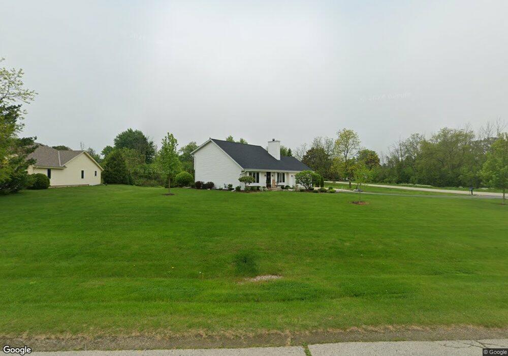
772 Maplewood Ln Cedarburg, WI 53012
Estimated Value: $472,000 - $524,000
--
Bed
--
Bath
--
Sq Ft
0.92
Acres
About This Home
This home is located at 772 Maplewood Ln, Cedarburg, WI 53012 and is currently estimated at $500,191. 772 Maplewood Ln is a home located in Ozaukee County with nearby schools including Cedarburg High School, First Immanuel Lutheran School, and Morningstar Montessori Inc.
Ownership History
Date
Name
Owned For
Owner Type
Purchase Details
Closed on
Apr 12, 2019
Sold by
Gervais Trust
Bought by
Deppisch Mackenzie and Deppisch Jackie
Current Estimated Value
Home Financials for this Owner
Home Financials are based on the most recent Mortgage that was taken out on this home.
Original Mortgage
$278,400
Outstanding Balance
$244,763
Interest Rate
4.3%
Mortgage Type
New Conventional
Estimated Equity
$255,428
Purchase Details
Closed on
Dec 7, 2009
Sold by
Gervais Roger G and Gervais Lori B
Bought by
Gervais Roger G and Gervais Lori B
Purchase Details
Closed on
Oct 31, 2005
Sold by
Montella John S and Montella Diana
Bought by
Gervais Roger G and Gervais Lori B
Home Financials for this Owner
Home Financials are based on the most recent Mortgage that was taken out on this home.
Original Mortgage
$228,000
Interest Rate
5.98%
Mortgage Type
New Conventional
Create a Home Valuation Report for This Property
The Home Valuation Report is an in-depth analysis detailing your home's value as well as a comparison with similar homes in the area
Home Values in the Area
Average Home Value in this Area
Purchase History
| Date | Buyer | Sale Price | Title Company |
|---|---|---|---|
| Deppisch Mackenzie | -- | None Available | |
| Gervais Roger G | -- | None Available | |
| Gervais Roger G | $285,000 | None Available |
Source: Public Records
Mortgage History
| Date | Status | Borrower | Loan Amount |
|---|---|---|---|
| Open | Deppisch Mackenzie | $278,400 | |
| Previous Owner | Gervais Roger G | $228,000 |
Source: Public Records
Tax History Compared to Growth
Tax History
| Year | Tax Paid | Tax Assessment Tax Assessment Total Assessment is a certain percentage of the fair market value that is determined by local assessors to be the total taxable value of land and additions on the property. | Land | Improvement |
|---|---|---|---|---|
| 2024 | $4,085 | $405,400 | $60,900 | $344,500 |
| 2023 | $3,760 | $405,400 | $60,900 | $344,500 |
| 2022 | $3,318 | $259,600 | $58,000 | $201,600 |
| 2021 | $3,285 | $259,600 | $58,000 | $201,600 |
| 2020 | $3,548 | $259,600 | $58,000 | $201,600 |
| 2019 | $3,599 | $259,600 | $58,000 | $201,600 |
| 2018 | $3,415 | $259,600 | $58,000 | $201,600 |
| 2017 | $3,349 | $259,600 | $58,000 | $201,600 |
| 2016 | $3,402 | $259,600 | $58,000 | $201,600 |
| 2015 | $3,440 | $259,600 | $58,000 | $201,600 |
| 2014 | $3,441 | $257,900 | $58,000 | $199,900 |
| 2013 | $3,642 | $257,900 | $58,000 | $199,900 |
Source: Public Records
Map
Nearby Homes
- 889 Horns Corners Rd
- W73N1025 Poplar Ave
- 1111 Wauwatosa Rd
- N50W7228 Western Rd
- 320 Douglas Ln
- W72N1047 Hampton Ave
- W67N786 Evergreen Blvd
- Lt1 Bridge Rd
- W68N921 Washington Ave
- 10512 Bridge St
- N114W7191 Oakmont Dr
- N69W6507 Bridge Rd
- N105W6695 Stone Lake Cir Unit 5
- N50W6592 Western Rd
- N106W6600 Stone Lake Cir Unit 9
- N106W6590 Stone Lake Cir Unit 10
- N56W6339 Center St
- N105W6431 Stone Lake Cir Unit 32
- N91W6149 Arbor Dr
- N30W6880 Lincoln Blvd
- 8600 Hickory Ln
- 8551 Hickory Ln
- 740 Maplewood Ln
- 8536 Hickory Ln
- 736 Maplewood Ln
- 733 Maplewood Ln
- 761 Hillside Ct
- 8476 Hickory Ln
- 775 Hillside Ct
- 727 Maplewood Ln
- 8390 Hickory Ln
- 737 Hillside Ct
- 718 Maplewood Ln
- 719 Maplewood Ln
- 727 Hillside Ct
- 770 Hillside Ct
- 780 Hillside Ct
- 758 Hillside Ct
- 714 Maplewood Ln
- 748 Hillside Ct