772 S Belfast Rd Windsor, ME 04363
Estimated Value: $289,000 - $527,000
--
Bed
--
Bath
--
Sq Ft
3.54
Acres
About This Home
This home is located at 772 S Belfast Rd, Windsor, ME 04363 and is currently estimated at $382,296. 772 S Belfast Rd is a home with nearby schools including Windsor Elementary School.
Ownership History
Date
Name
Owned For
Owner Type
Purchase Details
Closed on
Jul 8, 2019
Sold by
Coffin Marcia A
Bought by
Coffin Montana
Current Estimated Value
Home Financials for this Owner
Home Financials are based on the most recent Mortgage that was taken out on this home.
Original Mortgage
$153,000
Outstanding Balance
$133,969
Interest Rate
4%
Mortgage Type
Stand Alone Refi Refinance Of Original Loan
Estimated Equity
$248,327
Purchase Details
Closed on
Feb 20, 2018
Sold by
Coffin Kane P
Bought by
Coffin Marcia A
Create a Home Valuation Report for This Property
The Home Valuation Report is an in-depth analysis detailing your home's value as well as a comparison with similar homes in the area
Home Values in the Area
Average Home Value in this Area
Purchase History
| Date | Buyer | Sale Price | Title Company |
|---|---|---|---|
| Coffin Montana | -- | -- | |
| Coffin Montana | -- | -- | |
| Coffin Montana | -- | -- | |
| Coffin Marcia A | -- | -- | |
| Coffin Marcia A | -- | -- | |
| Coffin Marcia A | -- | -- |
Source: Public Records
Mortgage History
| Date | Status | Borrower | Loan Amount |
|---|---|---|---|
| Open | Coffin Montana | $153,000 | |
| Closed | Coffin Montana | $153,000 |
Source: Public Records
Tax History Compared to Growth
Tax History
| Year | Tax Paid | Tax Assessment Tax Assessment Total Assessment is a certain percentage of the fair market value that is determined by local assessors to be the total taxable value of land and additions on the property. | Land | Improvement |
|---|---|---|---|---|
| 2024 | $3,831 | $416,400 | $35,600 | $380,800 |
| 2023 | $3,421 | $235,900 | $21,100 | $214,800 |
| 2022 | $3,232 | $235,900 | $21,100 | $214,800 |
| 2021 | $3,067 | $235,900 | $21,100 | $214,800 |
| 2020 | $3,020 | $235,900 | $21,100 | $214,800 |
| 2019 | $2,996 | $235,900 | $21,100 | $214,800 |
| 2018 | $3,043 | $235,900 | $21,100 | $214,800 |
| 2017 | $3,020 | $235,900 | $21,100 | $214,800 |
| 2016 | $2,996 | $235,900 | $21,100 | $214,800 |
| 2015 | $2,807 | $235,900 | $21,100 | $214,800 |
| 2014 | $3,071 | $236,200 | $21,400 | $214,800 |
| 2013 | $3,118 | $236,200 | $21,400 | $214,800 |
Source: Public Records
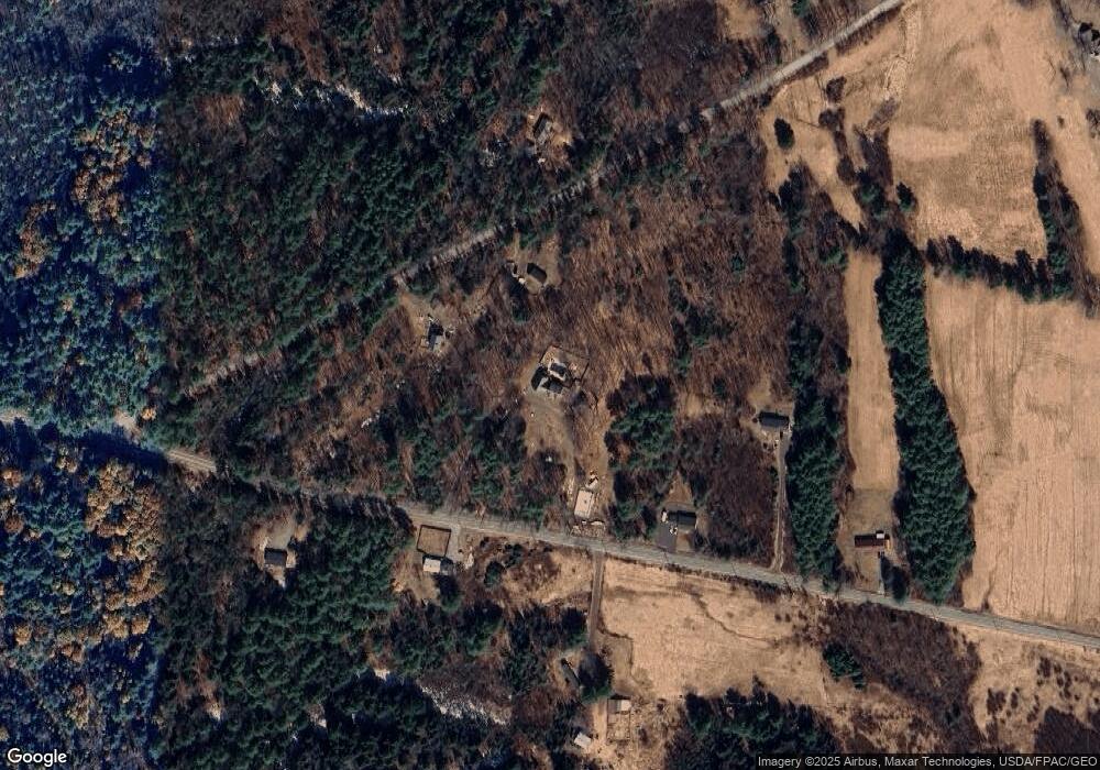
Map
Nearby Homes
- 20 Pitt Rd
- 206 Maxcy's Mill Rd
- 329 Reed Rd
- 295 Coopers Mills Rd
- 3 Howards Ln
- 3 Elmwood Ave
- 24 Taylor Rd
- 70 Greeley Rd
- Lot 38-D Choate Rd
- 25 Rockwood Estates
- 21 Rockwood Estates
- 216 Windsor Neck Rd
- 10 Ridge Rd
- 57 Elm Ln
- 214 Augusta Rockland Rd
- 814 Augusta-Rockland Rd
- 282 Pierces Point Rd
- 140 Ingraham Rd
- 119 Main St
- 1315 S Belfast Ave
- 774 S Belfast Rd
- 1260 S Belfast Rd
- 456 S Belfast Rd
- 775 S Belfast Rd
- 778 S Belfast Rd
- 749 S Belfast Rd
- 757 S Belfast Rd
- 0 S Belfast Rd Unit 869704
- 0 S Belfast Rd Unit 851471
- 0 S Belfast Rd Unit 1445623
- 776 S Belfast Rd
- 33 Pinkham Rd
- 2 Pinkham Rd
- 43 Pinkham Rd
- 80 Pinkham Rd
- 56 Pinkham Rd
- 804 S Belfast Rd
- 3000 Route 105
- 2005 Route 105
- 0 Rt 105