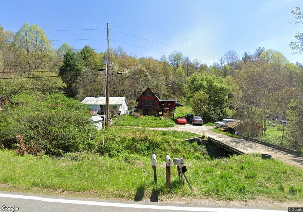
772 Scronce Creek Rd Burnsville, NC 28714
Estimated Value: $192,410 - $553,000
2
Beds
1
Bath
1,976
Sq Ft
$183/Sq Ft
Est. Value
About This Home
This home is located at 772 Scronce Creek Rd, Burnsville, NC 28714 and is currently estimated at $361,853, approximately $183 per square foot. 772 Scronce Creek Rd is a home located in Yancey County with nearby schools including Mountain Heritage High School.
Ownership History
Date
Name
Owned For
Owner Type
Purchase Details
Closed on
Aug 19, 2022
Sold by
Ad Astra Trust
Bought by
Martinez Gerardo Hernandez and Gonzalez Ana Maria
Current Estimated Value
Purchase Details
Closed on
Jul 21, 2022
Sold by
Adam Wilson Shawan
Bought by
Wilson Shawan Adam
Purchase Details
Closed on
Apr 26, 2008
Sold by
Wilson David Wayne and Wilson Diana Jean
Bought by
Wilson Shawan Adam
Create a Home Valuation Report for This Property
The Home Valuation Report is an in-depth analysis detailing your home's value as well as a comparison with similar homes in the area
Home Values in the Area
Average Home Value in this Area
Purchase History
| Date | Buyer | Sale Price | Title Company |
|---|---|---|---|
| Martinez Gerardo Hernandez | $54,900 | -- | |
| Ad Astra Trust | -- | Haire Susan L | |
| Ad Astra Trust | -- | None Listed On Document | |
| Wilson Shawan Adam | $15,000 | Harry Marsh Law | |
| Wilson Shawan Adam | -- | None Available |
Source: Public Records
Tax History Compared to Growth
Tax History
| Year | Tax Paid | Tax Assessment Tax Assessment Total Assessment is a certain percentage of the fair market value that is determined by local assessors to be the total taxable value of land and additions on the property. | Land | Improvement |
|---|---|---|---|---|
| 2025 | $738 | $131,800 | $11,300 | $120,500 |
| 2024 | $738 | $131,800 | $11,300 | $120,500 |
| 2023 | $628 | $98,190 | $24,900 | $73,290 |
| 2022 | $616 | $98,190 | $24,900 | $73,290 |
| 2021 | $628 | $98,190 | $24,900 | $73,290 |
| 2020 | $628 | $98,190 | $24,900 | $73,290 |
| 2019 | $661 | $103,290 | $30,000 | $73,290 |
| 2018 | $661 | $103,290 | $30,000 | $73,290 |
| 2017 | $661 | $103,290 | $30,000 | $73,290 |
| 2016 | $661 | $103,290 | $30,000 | $73,290 |
| 2015 | $642 | $118,980 | $30,000 | $88,980 |
| 2014 | $642 | $118,980 | $30,000 | $88,980 |
Source: Public Records
Map
Nearby Homes
- 351 Swiss Loop
- 151 Swiss Loop
- 211 Evergreen Rd
- 31 acres Scronce Creek Rd
- 707 Lickskillet Rd
- 99999 Windswept Dr
- 18 Misty Meadows Rd
- 10 Blossom Dr
- 1201 Simms Fork Rd
- 239 Pleasant Valley Rd
- 222 Fox Creek Rd
- TBD US 19w Hwy
- 456 Windy Gap Rd
- 2311 Old Mountain Rd
- 1675 Ponder Creek Rd
- 423 Hardscrabble Rd
- 351 Buck Springs Run
- 00 Windy Gap Rd Unit Tract B
- 384 Doan Town Rd
- 237 Hickory Nut Ridge Rd Unit 10
- 813 Scronce Creek Rd
- 774 Scronce Creek Rd
- 770 Scronce Creek Rd
- 776 Scronce Creek Rd
- 847 Scronce Creek Rd
- 848 Scronce Creek Rd
- 905 Scronce Creek Rd
- 602 Scronce Creek Rd
- 912 Scronce Creek Rd
- 947 Scronce Creek Rd
- 65 Owls Nest Dr
- 985 Scronce Creek Rd
- 986 Scronce Creek Rd
- 542 Scronce Creek Rd
- 549 Scronce Creek Rd
- 1072 Scronce Creek Rd
- 1055 Scronce Creek Rd
- 1099 Scronce Creek Rd
- 443 Deacon Rd
- 701 Deacon Rd