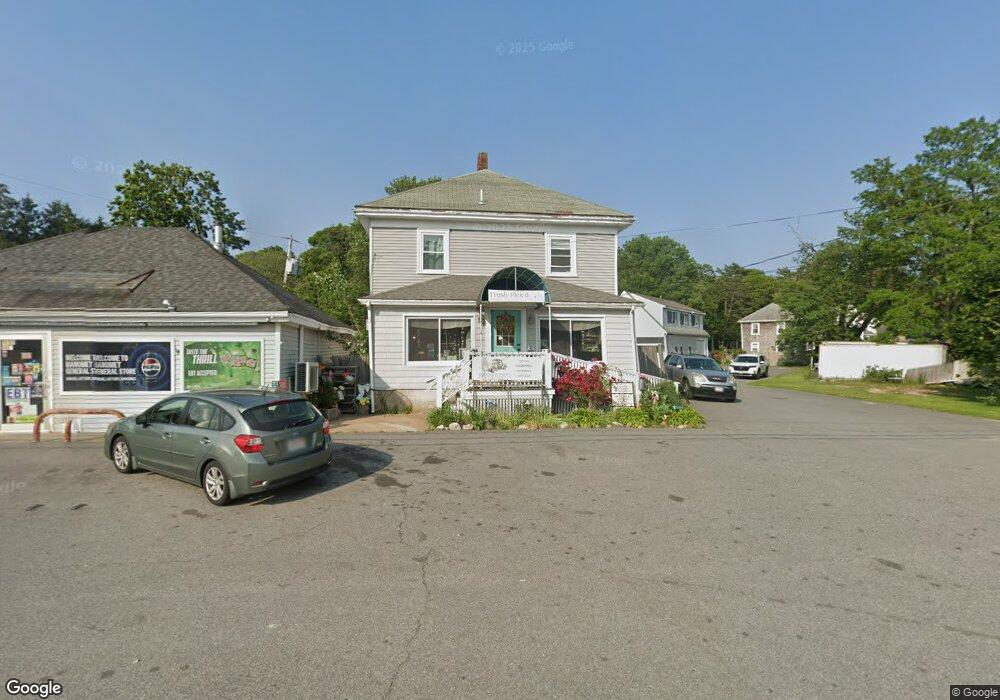
772 State Rd Plymouth, MA 02360
Estimated Value: $1,130,429
--
Bed
--
Bath
4,800
Sq Ft
$236/Sq Ft
Est. Value
About This Home
This home is located at 772 State Rd, Plymouth, MA 02360 and is currently estimated at $1,130,429, approximately $235 per square foot. 772 State Rd is a home located in Plymouth County with nearby schools including Manomet Elementary School, Plymouth Community Intermediate, and Plymouth North High School.
Ownership History
Date
Name
Owned For
Owner Type
Purchase Details
Closed on
Aug 28, 2019
Sold by
Candlen Denis P
Bought by
Zs T Llc
Current Estimated Value
Home Financials for this Owner
Home Financials are based on the most recent Mortgage that was taken out on this home.
Original Mortgage
$528,000
Outstanding Balance
$464,367
Interest Rate
3.8%
Mortgage Type
New Conventional
Estimated Equity
$666,062
Purchase Details
Closed on
Jun 16, 1987
Sold by
Britt Joseph R
Bought by
Candlen Denis P
Home Financials for this Owner
Home Financials are based on the most recent Mortgage that was taken out on this home.
Original Mortgage
$199,000
Interest Rate
10.47%
Mortgage Type
Commercial
Create a Home Valuation Report for This Property
The Home Valuation Report is an in-depth analysis detailing your home's value as well as a comparison with similar homes in the area
Home Values in the Area
Average Home Value in this Area
Purchase History
| Date | Buyer | Sale Price | Title Company |
|---|---|---|---|
| Zs T Llc | $700,000 | -- | |
| Candlen Denis P | $299,000 | -- |
Source: Public Records
Mortgage History
| Date | Status | Borrower | Loan Amount |
|---|---|---|---|
| Open | Zs T Llc | $528,000 | |
| Previous Owner | Candlen Denis P | $181,650 | |
| Previous Owner | Candlen Denis P | $199,000 |
Source: Public Records
Tax History Compared to Growth
Tax History
| Year | Tax Paid | Tax Assessment Tax Assessment Total Assessment is a certain percentage of the fair market value that is determined by local assessors to be the total taxable value of land and additions on the property. | Land | Improvement |
|---|---|---|---|---|
| 2025 | $11,998 | $945,500 | $412,300 | $533,200 |
| 2024 | $11,338 | $881,000 | $390,200 | $490,800 |
| 2023 | $11,606 | $846,500 | $353,400 | $493,100 |
| 2022 | $10,715 | $694,400 | $309,200 | $385,200 |
| 2021 | $10,498 | $649,600 | $294,500 | $355,100 |
| 2020 | $10,861 | $664,300 | $279,700 | $384,600 |
| 2019 | $10,041 | $607,100 | $272,400 | $334,700 |
| 2018 | $9,999 | $607,500 | $272,400 | $335,100 |
| 2017 | $9,688 | $584,300 | $265,000 | $319,300 |
| 2016 | $9,511 | $584,600 | $265,000 | $319,600 |
| 2015 | $9,089 | $584,900 | $265,000 | $319,900 |
| 2014 | $8,359 | $552,500 | $230,100 | $322,400 |
Source: Public Records
Map
Nearby Homes
- 3 Clearwater Dr
- 38 Hawley Ave
- 38 Hawley Ave Unit 38
- 22 Presidents Ln
- 54 Manomet Point Rd
- 881 State Rd
- 84 Bartlett Rd
- 32 Ray Rd
- 61 Crescent Ave
- 24 Highland Terrace Unit 2415
- 583 State Rd
- 4 Highland Terrace Unit 403
- 18 Beach St
- 52 Taylor Ave
- 11 April Way
- 208 Manomet Point Rd
- 127C Taylor Ave
- 14 O'Toole Rd Unit 14
- 4 Old Field Rd
- 3 Hiawatha Rd
- 767 State Rd
- 775 State Rd
- 773 State Rd
- 2 Samoset Ave
- 780 State Rd
- 780 State Rd Unit 1
- 763 State Rd
- 763 State Road Rt 3a
- 15 Bartlett Ave
- 15 Samoset Ave
- 15 Samoset Ave Unit 1
- 15 Samoset Ave Unit 15
- 19 Bartlett Ave
- 11 Bartlett Ave
- 17 Samoset Ave
- 16 Samoset Ave
- 23 Bartlett Ave
- 754 State Rd
- 21 Samoset Ave
- 18 Bartlett Ave