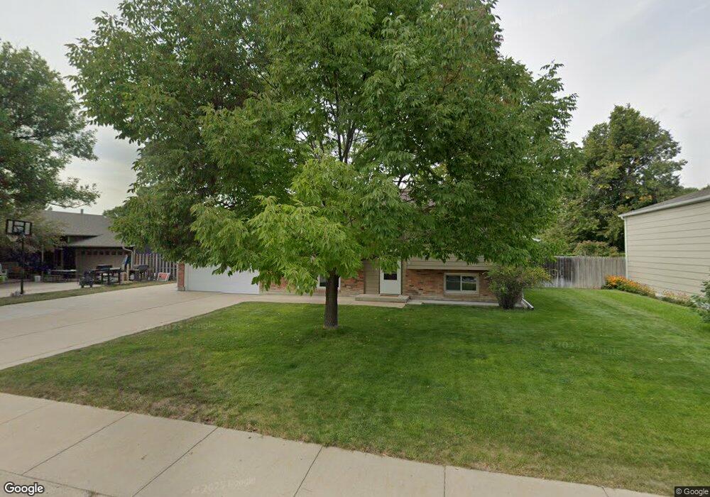
772 W 14th St Alliance, NE 69301
Estimated Value: $122,000 - $219,000
2
Beds
1
Bath
924
Sq Ft
$204/Sq Ft
Est. Value
About This Home
This home is located at 772 W 14th St, Alliance, NE 69301 and is currently estimated at $188,554, approximately $204 per square foot. 772 W 14th St is a home located in Box Butte County with nearby schools including Alliance High School, St. Agnes Academy, and Immanuel Evangelical Lutheran School.
Create a Home Valuation Report for This Property
The Home Valuation Report is an in-depth analysis detailing your home's value as well as a comparison with similar homes in the area
Home Values in the Area
Average Home Value in this Area
Tax History Compared to Growth
Tax History
| Year | Tax Paid | Tax Assessment Tax Assessment Total Assessment is a certain percentage of the fair market value that is determined by local assessors to be the total taxable value of land and additions on the property. | Land | Improvement |
|---|---|---|---|---|
| 2024 | $2,511 | $200,465 | $8,800 | $191,665 |
| 2023 | $3,446 | $200,465 | $8,800 | $191,665 |
| 2022 | $2,991 | $164,255 | $7,920 | $156,335 |
| 2021 | $2,793 | $151,515 | $7,920 | $143,595 |
| 2020 | $2,785 | $151,515 | $7,920 | $143,595 |
| 2019 | $2,720 | $151,515 | $7,920 | $143,595 |
| 2018 | $2,707 | $151,515 | $7,920 | $143,595 |
| 2017 | $2,295 | $123,678 | $7,480 | $116,198 |
| 2016 | $2,269 | $123,678 | $7,480 | $116,198 |
| 2015 | $2,155 | $117,215 | $7,480 | $109,735 |
| 2014 | $2,155 | $116,585 | $7,480 | $109,105 |
Source: Public Records
Map
Nearby Homes
- 1021 Dakota Ave
- 936 Platte Ave
- 1239 Toluca Ave
- 819 Black Hills Ave
- 911 Emerson Ave
- 672 W 20th St
- 1232 Cheyenne Ave
- 20th St Emerson Ave To Colorado Ave
- 924 Big Horn Ave
- 907 Toluca Ave
- 719 Toluca Ave
- 621 Emerson Ave
- 1019 Laramie Ave
- 904 Laramie Ave
- 316 Big Horn Ave
- 420 Laramie Ave
- 2039 Niobrara Ave
- 615 Sweetwater Ave
- 1004 Missouri Ave
- 917 Missouri Ave