772 Wade Farm Dr Austell, GA 30168
Estimated Value: $390,000 - $477,000
4
Beds
3
Baths
2,670
Sq Ft
$162/Sq Ft
Est. Value
About This Home
This home is located at 772 Wade Farm Dr, Austell, GA 30168 and is currently estimated at $431,654, approximately $161 per square foot. 772 Wade Farm Dr is a home with nearby schools including Bryant Elementary School, Lindley Middle School, and Pebblebrook High School.
Ownership History
Date
Name
Owned For
Owner Type
Purchase Details
Closed on
Aug 28, 2015
Sold by
Odwyer Properties Llc
Bought by
Harris Jarrad D
Current Estimated Value
Home Financials for this Owner
Home Financials are based on the most recent Mortgage that was taken out on this home.
Original Mortgage
$236,057
Outstanding Balance
$187,034
Interest Rate
4.25%
Mortgage Type
FHA
Estimated Equity
$244,620
Purchase Details
Closed on
Dec 3, 2012
Sold by
Ti Odwyer Lots Llc
Bought by
Killarney Investments Llc
Create a Home Valuation Report for This Property
The Home Valuation Report is an in-depth analysis detailing your home's value as well as a comparison with similar homes in the area
Home Values in the Area
Average Home Value in this Area
Purchase History
| Date | Buyer | Sale Price | Title Company |
|---|---|---|---|
| Harris Jarrad D | $240,413 | -- | |
| Killarney Investments Llc | $32,000 | -- |
Source: Public Records
Mortgage History
| Date | Status | Borrower | Loan Amount |
|---|---|---|---|
| Open | Harris Jarrad D | $236,057 |
Source: Public Records
Tax History Compared to Growth
Tax History
| Year | Tax Paid | Tax Assessment Tax Assessment Total Assessment is a certain percentage of the fair market value that is determined by local assessors to be the total taxable value of land and additions on the property. | Land | Improvement |
|---|---|---|---|---|
| 2025 | $5,147 | $170,812 | $34,000 | $136,812 |
| 2024 | $4,894 | $162,324 | $28,000 | $134,324 |
| 2023 | $4,894 | $162,324 | $28,000 | $134,324 |
| 2022 | $4,674 | $153,992 | $28,000 | $125,992 |
| 2021 | $3,741 | $123,272 | $28,000 | $95,272 |
| 2020 | $3,741 | $123,272 | $28,000 | $95,272 |
| 2019 | $3,143 | $103,552 | $24,000 | $79,552 |
| 2018 | $3,143 | $103,552 | $24,000 | $79,552 |
| 2017 | $2,863 | $99,576 | $24,000 | $75,576 |
| 2016 | $2,748 | $95,596 | $24,000 | $71,596 |
| 2015 | $412 | $14,000 | $14,000 | $0 |
| 2014 | $416 | $14,000 | $0 | $0 |
Source: Public Records
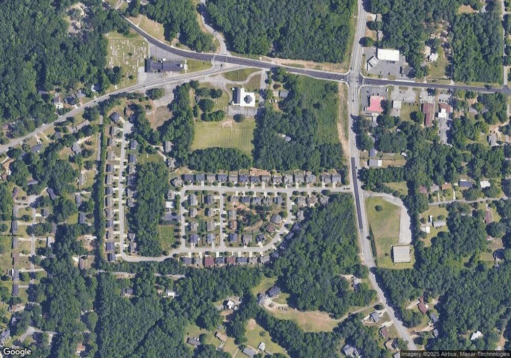
Map
Nearby Homes
- 760 Wade Farm Dr
- 761 Knox Springs Rd
- 760 W Starling Dr SW
- 7151 Springchase Way
- 7098 Pleasant Dr
- 6914 Fairway Trail
- 1142 Hembree Ln
- 1086 S Gordon Rd
- 0 Hembree Ln Unit 10633605
- 00 Hembree Ln
- 796 Crestside Ct Unit 1
- 817 Revena Dr
- 7063 Pleasant Dr
- 7067 Pleasant Dr
- Townhomes at Crestview Floorplan at Crestview - Townhomes
- 7224 Crestside Dr Unit 1
- 7282 Rockhouse Rd Unit 5
- 7249 Factory Shoals Rd
- 766 Wade Farm Dr
- 778 Wade Farm Dr
- 0 Wade Farm Dr Unit 9075550
- 784 Wade Farm Dr
- 760 Wade Farm D Dr Unit 6
- 769 Wade Farm Dr
- 775 Wade Farm Dr Unit 60
- 775 Wade Farm Dr
- 763 Wade Farm Dr
- 781 Wade Farm Dr
- 790 Wade Farm Dr
- 754 Wade Farm Dr
- 757 Wade Farm Dr
- 6787 Wade Farm Dr
- 6791 Wade Farm Dr
- 6757 Daniel Springs Way
- 796 Wade Farm Dr
- 748 Wade Farm Dr
- 6790 Winding Wade Trail
- 6750 Daniel Springs Way