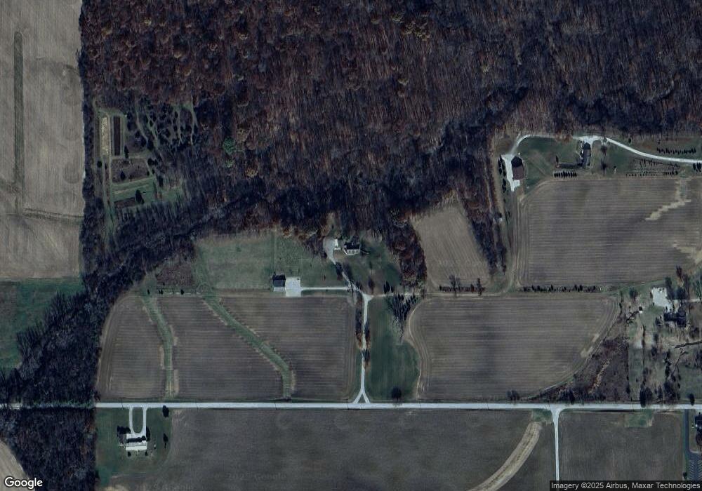
7720 E 400 N Andrews, IN 46702
Estimated Value: $304,000 - $506,300
2
Beds
2
Baths
2,096
Sq Ft
$201/Sq Ft
Est. Value
About This Home
This home is located at 7720 E 400 N, Andrews, IN 46702 and is currently estimated at $422,075, approximately $201 per square foot. 7720 E 400 N is a home located in Wabash County.
Create a Home Valuation Report for This Property
The Home Valuation Report is an in-depth analysis detailing your home's value as well as a comparison with similar homes in the area
Home Values in the Area
Average Home Value in this Area
Tax History Compared to Growth
Tax History
| Year | Tax Paid | Tax Assessment Tax Assessment Total Assessment is a certain percentage of the fair market value that is determined by local assessors to be the total taxable value of land and additions on the property. | Land | Improvement |
|---|---|---|---|---|
| 2024 | $2,173 | $295,400 | $49,400 | $246,000 |
| 2023 | $1,996 | $282,900 | $44,100 | $238,800 |
| 2022 | $1,550 | $264,100 | $38,600 | $225,500 |
| 2021 | $1,513 | $239,200 | $32,900 | $206,300 |
| 2020 | $1,380 | $227,700 | $32,700 | $195,000 |
| 2019 | $1,287 | $220,000 | $36,600 | $183,400 |
| 2018 | $1,316 | $219,700 | $37,300 | $182,400 |
| 2017 | $1,322 | $223,000 | $44,000 | $179,000 |
| 2016 | $1,076 | $222,100 | $45,600 | $176,500 |
| 2014 | $972 | $212,600 | $47,100 | $165,500 |
| 2013 | $910 | $206,000 | $42,500 | $163,500 |
Source: Public Records
Map
Nearby Homes
- 2848 N 800 E
- 874 N Jackson St
- 330 W Mckeever St
- 187 S Snowden St
- 63 E Mckeever St
- TBD W Maple Grove Rd
- 5725 W 600 N
- 460 Main St
- 5562 W 100 N
- TBD 495 N
- 6709 N Goshen Rd
- 5533 N 150 E
- 1920 Hunters Ridge Dr
- 58 Quayle Run
- 2071 Hoover Rd
- 3881 W 558 N
- tbd W 800 N
- 1513 Avon Place
- 00 S 600 E
- 1957 E State Road 524