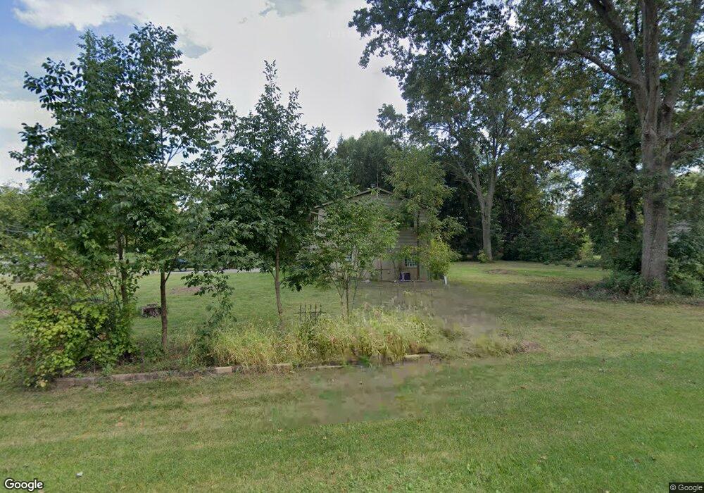
7720 Maxtown Rd Westerville, OH 43082
Genoa NeighborhoodEstimated Value: $350,470 - $400,000
5
Beds
2
Baths
1,720
Sq Ft
$218/Sq Ft
Est. Value
About This Home
This home is located at 7720 Maxtown Rd, Westerville, OH 43082 and is currently estimated at $375,618, approximately $218 per square foot. 7720 Maxtown Rd is a home located in Delaware County with nearby schools including Robert Frost Elementary School, Heritage Middle School, and Westerville-North High School.
Ownership History
Date
Name
Owned For
Owner Type
Purchase Details
Closed on
Oct 7, 1996
Sold by
Crawford John H B
Bought by
Barnett Jeffrey R and Barnett Marie L
Current Estimated Value
Home Financials for this Owner
Home Financials are based on the most recent Mortgage that was taken out on this home.
Original Mortgage
$98,800
Outstanding Balance
$6,312
Interest Rate
8%
Mortgage Type
New Conventional
Estimated Equity
$369,306
Create a Home Valuation Report for This Property
The Home Valuation Report is an in-depth analysis detailing your home's value as well as a comparison with similar homes in the area
Home Values in the Area
Average Home Value in this Area
Purchase History
| Date | Buyer | Sale Price | Title Company |
|---|---|---|---|
| Barnett Jeffrey R | $104,000 | -- |
Source: Public Records
Mortgage History
| Date | Status | Borrower | Loan Amount |
|---|---|---|---|
| Open | Barnett Jeffrey R | $98,800 |
Source: Public Records
Tax History
| Year | Tax Paid | Tax Assessment Tax Assessment Total Assessment is a certain percentage of the fair market value that is determined by local assessors to be the total taxable value of land and additions on the property. | Land | Improvement |
|---|---|---|---|---|
| 2024 | $3,630 | $70,180 | $13,300 | $56,880 |
| 2023 | $3,559 | $70,180 | $13,300 | $56,880 |
| 2022 | $3,718 | $56,430 | $15,300 | $41,130 |
| 2021 | $3,755 | $56,430 | $15,300 | $41,130 |
| 2020 | $3,778 | $56,430 | $15,300 | $41,130 |
| 2019 | $3,258 | $46,730 | $13,300 | $33,430 |
| 2018 | $3,159 | $46,730 | $13,300 | $33,430 |
| 2017 | $3,088 | $42,740 | $13,300 | $29,440 |
| 2016 | $3,107 | $42,740 | $13,300 | $29,440 |
| 2015 | $3,082 | $42,740 | $13,300 | $29,440 |
| 2014 | $3,045 | $42,740 | $13,300 | $29,440 |
| 2013 | $3,026 | $42,740 | $13,300 | $29,440 |
Source: Public Records
Map
Nearby Homes
- 1161 Tidewater Ct
- 7568 Park Bend Ct
- 8133 Dunaway Ln
- 8191 Maxtown Rd
- 7026 Sunbury Rd
- 1103 Blue Heron Dr
- 1216 Hooverview Dr
- 8118 Saybrook Dr
- 6685 Tussic Street Rd
- 787 Centerpark Dr
- 6798 Garden View Dr
- 262 Crawford Ct
- 8512 Fallgold Ln
- 660 Albion Place Unit 8660
- 960 Lakeland Dr
- 6663 Hilmar Dr
- 6471 Margaret Dr
- 852 Karen Ct
- 138 Wood St
- 6136 Keats Place
- 7754 Maxtown Rd
- 7676 Maxtown Rd
- 7059 Hemstead Rd
- 1048 Sailing Ct
- 7782 Maxtown Rd
- 7679 Maxtown Rd
- 7100 Hemstead Rd
- 1053 Sailing Ct
- 7079 Hemstead Rd
- 7636 Maxtown Rd
- 6966 Regency Dr
- 1054 Sailing Ct
- 7667 Maxtown Rd
- 715 Bay Dr
- 6961 Regency Dr
- 1051 Sailing Ct
- 707 Bay Dr
- 7118 Hemstead Rd
- 6948 Regency Dr
- 695 Bay Dr
Your Personal Tour Guide
Ask me questions while you tour the home.