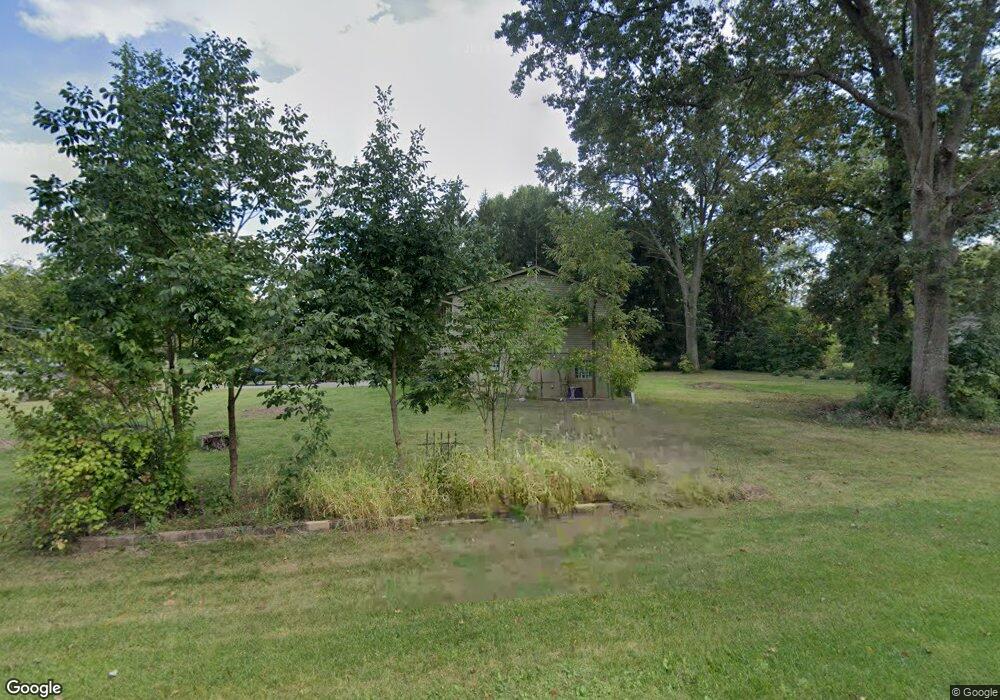
7720 Maxtown Rd Westerville, OH 43082
Estimated Value: $398,765 - $536,000
About This Home
This home is located at 7720 Maxtown Rd, Westerville, OH 43082 and is currently estimated at $457,941, approximately $194 per square foot. 7720 Maxtown Rd is a home located in Delaware County with nearby schools including Robert Frost Elementary School, Heritage Middle School, and Westerville-North High School.
Ownership History
We collect this data history from publicly available records. To have your information removed, we recommend requesting removal directly through your county’s website.
Purchase Details
Home Financials for this Owner
Home Financials are based on the most recent Mortgage that was taken out on this home.Home Values in the Area
Average Home Value in this Area
Purchase History
We collect this data history from publicly available records. To have your information removed, we recommend requesting removal directly through your county’s website.
| Date | Buyer | Sale Price | Title Company |
|---|---|---|---|
| $104,000 | -- |
Mortgage History
We collect this data history from publicly available records. To have your information removed, we recommend requesting removal directly through your county’s website.
| Date | Status | Borrower | Loan Amount |
|---|---|---|---|
| Open | $98,800 |
Tax History
We collect this data history from publicly available records. To have your information removed, we recommend requesting removal directly through your county’s website.
| Year | Tax Paid | Tax Assessment Tax Assessment Total Assessment is a certain percentage of the fair market value that is determined by local assessors to be the total taxable value of land and additions on the property. | Land | Improvement |
|---|---|---|---|---|
| 2025 | $5,173 | $94,330 | $13,300 | $81,030 |
| 2024 | $3,630 | $70,180 | $13,300 | $56,880 |
| 2023 | $3,559 | $70,180 | $13,300 | $56,880 |
| 2022 | $3,718 | $56,430 | $15,300 | $41,130 |
| 2021 | $3,755 | $56,430 | $15,300 | $41,130 |
| 2020 | $3,778 | $56,430 | $15,300 | $41,130 |
| 2019 | $3,258 | $46,730 | $13,300 | $33,430 |
| 2018 | $3,159 | $46,730 | $13,300 | $33,430 |
| 2017 | $3,088 | $42,740 | $13,300 | $29,440 |
| 2016 | $3,107 | $42,740 | $13,300 | $29,440 |
| 2015 | $3,082 | $42,740 | $13,300 | $29,440 |
| 2014 | $3,045 | $42,740 | $13,300 | $29,440 |
| 2013 | $3,026 | $42,740 | $13,300 | $29,440 |
Map
- 7624 Mikayla Dr
- 7568 Park Bend Ct
- 8133 Dunaway Ln
- 980 Landings Loop N
- 6657 Springview Dr
- 7026 Sunbury Rd
- 1136 Hooverview Dr
- 7596 Park Bend Dr
- 1067 Weatherwood Ct
- 6685 Tussic Street Rd
- 7176 Sherbrook Dr
- 6372 Grassmere Dr Unit 6372
- 7622 Milford Ave
- 758 Olde Mill Dr
- 6689 Wycliffe Place
- 7045 Sherbrook Dr
- 263 Barrington Dr
- 579 Olde Mill Dr
- 6199 Beringer Dr
- 6218 Falcon Chase Dr
- 7754 Maxtown Rd
- 7676 Maxtown Rd
- 7059 Hemstead Rd
- 1048 Sailing Ct
- 7782 Maxtown Rd
- 7100 Hemstead Rd
- 7679 Maxtown Rd
- 1053 Sailing Ct
- 7079 Hemstead Rd
- 7636 Maxtown Rd
- 6966 Regency Dr
- 1054 Sailing Ct
- 7667 Maxtown Rd
- 715 Bay Dr
- 6961 Regency Dr
- 1051 Sailing Ct
- 707 Bay Dr
- 7118 Hemstead Rd
- 6948 Regency Dr
- 695 Bay Dr
Ask me questions while you tour the home.