7721 Hospital Rd Freeland, MI 48623
Estimated Value: $252,000 - $339,000
4
Beds
1
Bath
1,620
Sq Ft
$185/Sq Ft
Est. Value
About This Home
This home is located at 7721 Hospital Rd, Freeland, MI 48623 and is currently estimated at $299,327, approximately $184 per square foot. 7721 Hospital Rd is a home located in Saginaw County with nearby schools including Freeland Learning Center, Freeland Elementary School, and Freeland Middle/High School.
Ownership History
Date
Name
Owned For
Owner Type
Purchase Details
Closed on
Mar 31, 2018
Sold by
Hensler Patricia
Bought by
Hensler Patricia
Current Estimated Value
Purchase Details
Closed on
Apr 25, 2015
Sold by
Hensler Patricia
Bought by
Hensler Patricia
Purchase Details
Closed on
Feb 14, 2015
Sold by
Hensler Elmer G
Bought by
Hensler Patricia
Purchase Details
Closed on
Sep 24, 2014
Sold by
Hensler Edward
Bought by
Hensler Elmer G and Hensler Patricia
Purchase Details
Closed on
Feb 9, 2013
Sold by
Hensler Elmer G and Hensler Patricia
Bought by
Hensler Elmer G and Hensler Patricia
Create a Home Valuation Report for This Property
The Home Valuation Report is an in-depth analysis detailing your home's value as well as a comparison with similar homes in the area
Home Values in the Area
Average Home Value in this Area
Purchase History
| Date | Buyer | Sale Price | Title Company |
|---|---|---|---|
| Hensler Patricia | -- | -- | |
| Hensler Patricia | -- | -- | |
| Hensler Patricia | -- | -- | |
| Hensler Elmer G | -- | -- | |
| Hensler Elmer G | -- | -- |
Source: Public Records
Tax History Compared to Growth
Tax History
| Year | Tax Paid | Tax Assessment Tax Assessment Total Assessment is a certain percentage of the fair market value that is determined by local assessors to be the total taxable value of land and additions on the property. | Land | Improvement |
|---|---|---|---|---|
| 2025 | $3,616 | $121,800 | $0 | $0 |
| 2024 | $1,035 | $110,700 | $0 | $0 |
| 2023 | $986 | $98,000 | $0 | $0 |
| 2022 | $2,975 | $95,200 | $0 | $0 |
| 2021 | $2,717 | $89,900 | $0 | $0 |
| 2020 | $2,632 | $85,500 | $0 | $0 |
| 2019 | $2,551 | $80,700 | $0 | $0 |
| 2018 | $860 | $80,600 | $0 | $0 |
| 2017 | $2,279 | $78,100 | $0 | $0 |
| 2016 | $2,259 | $76,700 | $0 | $0 |
| 2014 | -- | $74,700 | $0 | $52,600 |
| 2013 | -- | $73,800 | $0 | $0 |
Source: Public Records
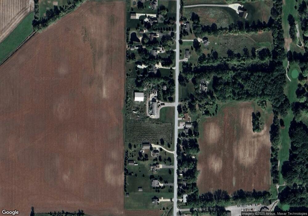
Map
Nearby Homes
- 6641 Pierce Rd
- 6790 Hospital Rd
- 9325 Hospital Rd
- 7474 Kochville Rd
- Parcel B 2 56 Acres N Center Rd Unit Parcel B
- 5874 Diamond Meadows Ln
- Parcel C 2 56 Acres N Center Rd Unit Parcel C
- TBD Garfield Rd
- Parcel D 2 64 Acres N Center Rd Unit Parcel D
- 9100 Brook Hollow Ln
- 9160 Brook Hollow Ln
- 1040 Wheelock St
- M-47 & Tittabawassee Rd
- 0000 Pierce Rd
- 9924 Garner Ln
- 5430 Tittabawassee Rd
- 10123 Hawk Dr
- 5120 Midland Rd
- 8421 Waxwing Dr
- 4079 S 8 Mile Rd
- 7690 Hospital Rd
- 7652 Hospital Rd
- 7755 Hospital Rd
- 7595 Hospital Rd
- 7612 Hospital Rd
- 7720 Hospital Rd
- 7582 Hospital Rd
- 7565 Hospital Rd
- 7785 Hospital Rd
- 7782 Hospital Rd
- 7560 Hospital Rd
- 7545 Hospital Rd
- 7819 Hospital Rd
- 7534 Hospital Rd
- 7839 Hospital Rd
- 7515 Hospital Rd
- 7840 Hospital Rd
- 7514 Hospital Rd
- 7808 Hospital Rd
- 7855 Hospital Rd