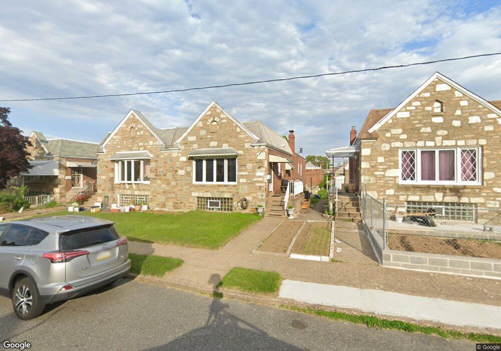
7721 Richard St Philadelphia, PA 19152
Rhawnhurst NeighborhoodEstimated Value: $304,000 - $329,000
3
Beds
3
Baths
1,169
Sq Ft
$272/Sq Ft
Est. Value
About This Home
This home is located at 7721 Richard St, Philadelphia, PA 19152 and is currently estimated at $318,254, approximately $272 per square foot. 7721 Richard St is a home located in Philadelphia County with nearby schools including Rhawnhurst School, Castor Gardens Middle School, and Northeast High School.
Ownership History
Date
Name
Owned For
Owner Type
Purchase Details
Closed on
May 27, 2010
Sold by
Gelbart Beatrice P and Satalof Renee
Bought by
Markot Steven W and Markot Yudith E
Current Estimated Value
Home Financials for this Owner
Home Financials are based on the most recent Mortgage that was taken out on this home.
Original Mortgage
$177,741
Outstanding Balance
$119,996
Interest Rate
5.12%
Mortgage Type
VA
Estimated Equity
$198,258
Create a Home Valuation Report for This Property
The Home Valuation Report is an in-depth analysis detailing your home's value as well as a comparison with similar homes in the area
Home Values in the Area
Average Home Value in this Area
Purchase History
| Date | Buyer | Sale Price | Title Company |
|---|---|---|---|
| Markot Steven W | $174,000 | First American Title Ins Co |
Source: Public Records
Mortgage History
| Date | Status | Borrower | Loan Amount |
|---|---|---|---|
| Open | Markot Steven W | $177,741 |
Source: Public Records
Tax History Compared to Growth
Tax History
| Year | Tax Paid | Tax Assessment Tax Assessment Total Assessment is a certain percentage of the fair market value that is determined by local assessors to be the total taxable value of land and additions on the property. | Land | Improvement |
|---|---|---|---|---|
| 2025 | $3,262 | $290,800 | $58,160 | $232,640 |
| 2024 | $3,262 | $290,800 | $58,160 | $232,640 |
| 2023 | $3,262 | $233,000 | $46,600 | $186,400 |
| 2022 | $2,135 | $188,000 | $46,600 | $141,400 |
| 2021 | $2,765 | $0 | $0 | $0 |
| 2020 | $2,765 | $0 | $0 | $0 |
| 2019 | $2,517 | $0 | $0 | $0 |
| 2018 | $2,322 | $0 | $0 | $0 |
| 2017 | $2,322 | $0 | $0 | $0 |
| 2016 | $1,902 | $0 | $0 | $0 |
| 2015 | $1,821 | $0 | $0 | $0 |
| 2014 | -- | $165,900 | $46,967 | $118,933 |
| 2012 | -- | $22,624 | $2,788 | $19,836 |
Source: Public Records
Map
Nearby Homes
- 7815 Horrocks St
- 7722 Fairfield St
- 2120 Napfle St
- 7525 Calvert St
- 7521 Calvert St
- 2345 Ripley St
- 2301 Ripley St
- 2302 Rhawn St
- 2123 Loney St
- 7703 Brous Ave
- 2023 Hartel Ave
- 7914 Farnsworth St
- 2250 Stanwood St
- 2029 Loney St
- 2232 Stanwood St
- 1919 Lansing St
- 2727 Rhawn St
- 2727 Rhawn St Unit 7AB
- 2755 Rhawn St
- 1917 Griffith St
- 7719 Richard St
- 7723 Richard St
- 7725 Richard St
- 7717 Richard St
- 7715 Richard St
- 7727 Richard St
- 7720 Bradford St
- 7722 Bradford St
- 7718 Bradford St
- 7713 Richard St
- 7729 Richard St
- 7724 Bradford St
- 7716 Bradford St
- 7726 Bradford St
- 7714 Bradford St
- 7711 Richard St
- 7731 Richard St
- 7728 Bradford St
- 7720 Richard St
- 7712 Bradford St