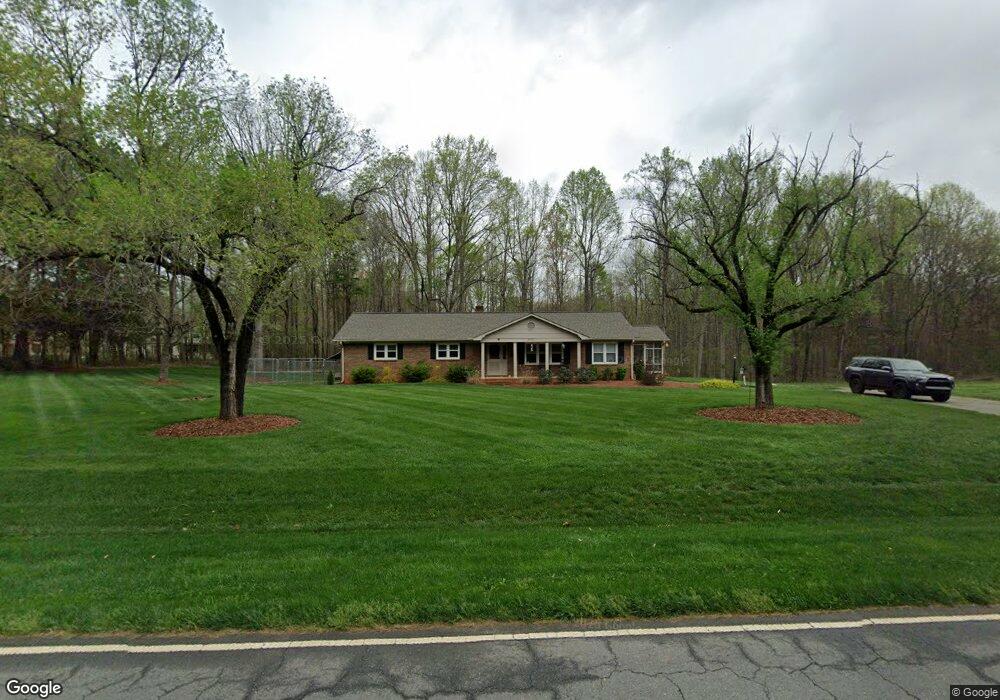
7721 Styers Ferry Rd Clemmons, NC 27012
Estimated Value: $238,000 - $367,000
3
Beds
2
Baths
1,920
Sq Ft
$152/Sq Ft
Est. Value
About This Home
This home is located at 7721 Styers Ferry Rd, Clemmons, NC 27012 and is currently estimated at $292,711, approximately $152 per square foot. 7721 Styers Ferry Rd is a home located in Forsyth County with nearby schools including Southwest Elementary, Meadowlark Middle School, and West Forsyth High.
Ownership History
Date
Name
Owned For
Owner Type
Purchase Details
Closed on
Mar 7, 2022
Sold by
Harper Sandra B
Bought by
Harless Joshua Earret and Harless Meagan Rose
Current Estimated Value
Home Financials for this Owner
Home Financials are based on the most recent Mortgage that was taken out on this home.
Original Mortgage
$170,000
Outstanding Balance
$158,123
Interest Rate
3.69%
Mortgage Type
New Conventional
Estimated Equity
$134,588
Create a Home Valuation Report for This Property
The Home Valuation Report is an in-depth analysis detailing your home's value as well as a comparison with similar homes in the area
Home Values in the Area
Average Home Value in this Area
Purchase History
| Date | Buyer | Sale Price | Title Company |
|---|---|---|---|
| Harless Joshua Earret | $200,000 | Cranfill Darren S |
Source: Public Records
Mortgage History
| Date | Status | Borrower | Loan Amount |
|---|---|---|---|
| Open | Harless Joshua Earret | $170,000 |
Source: Public Records
Tax History Compared to Growth
Tax History
| Year | Tax Paid | Tax Assessment Tax Assessment Total Assessment is a certain percentage of the fair market value that is determined by local assessors to be the total taxable value of land and additions on the property. | Land | Improvement |
|---|---|---|---|---|
| 2025 | $1,551 | $303,800 | $55,300 | $248,500 |
| 2024 | $1,541 | $201,000 | $41,600 | $159,400 |
| 2023 | $1,541 | $201,000 | $41,600 | $159,400 |
| 2022 | $1,541 | $201,000 | $41,600 | $159,400 |
| 2021 | $1,531 | $201,000 | $41,600 | $159,400 |
| 2020 | $1,284 | $154,600 | $35,800 | $118,800 |
| 2019 | $1,300 | $154,600 | $35,800 | $118,800 |
| 2018 | $1,248 | $154,600 | $35,800 | $118,800 |
| 2016 | $1,161 | $143,073 | $34,198 | $108,875 |
| 2015 | $1,161 | $143,073 | $34,198 | $108,875 |
| 2014 | $1,137 | $143,073 | $34,198 | $108,875 |
Source: Public Records
Map
Nearby Homes
- 2458 Lansford Ct
- 1953 Woodstock Rd
- 8820 Kings Tree Rd
- Mayfair Plan at Grove Park
- Cooper Plan at Grove Park
- Avery Plan at Grove Park
- Raleigh Plan at Grove Park
- Edgefield Plan at Grove Park
- Sullivan Plan at Grove Park
- 8663 Stone Valley Dr
- 8111 Burberry Trail
- 8117 Burberry Trail
- 8123 Burberry Trail
- 8350 Holler Farm Rd
- 8978 Maltese Ct
- 8966 Maltese Ct
- 9165 Lasater Rd
- 1379 Ashfield Dr
- 1762 Canopy Trail
- 8742 Atlas Heights Way
- 7701 Styers Ferry Rd
- 1880 Woodstock Rd
- 1871 Woodstock Rd
- 1881 Woodstock Rd
- 1890 Woodstock Rd
- 1891 Woodstock Rd
- 705 Styers Ferry Trail
- 708 Styers Ferry Trail
- 1904 Woodstock Rd
- 2465 Lansford Ct
- 2488 Lansford Ct
- 1914 Woodstock Rd
- 714 Styers Ferry Trail
- 2480 Lansford Ct
- 711 Styers Ferry Trail
- 2449 Lansford Ct
- 713 Styers Ferry Trail
- 2495 Wellsburg Ct
- 1934 Woodstock Rd
- 719 Styers Ferry Trail