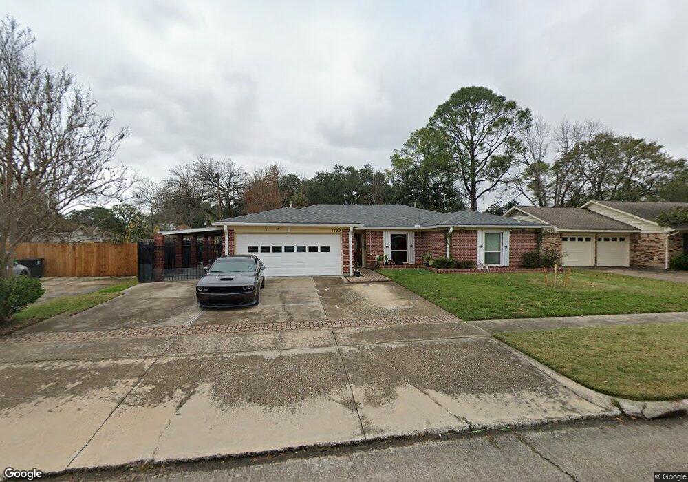
7722 Kensico Rd Houston, TX 77036
Sharpstown NeighborhoodEstimated Value: $297,000 - $346,000
3
Beds
2
Baths
1,764
Sq Ft
$180/Sq Ft
Est. Value
About This Home
This home is located at 7722 Kensico Rd, Houston, TX 77036 and is currently estimated at $317,713, approximately $180 per square foot. 7722 Kensico Rd is a home located in Harris County with nearby schools including Neff Elementary School, Sugar Grove Academy, and Sharpstown High School.
Ownership History
Date
Name
Owned For
Owner Type
Purchase Details
Closed on
Dec 9, 2005
Sold by
Rios Maria and Rios Alfredo
Bought by
Rios Dolly
Current Estimated Value
Home Financials for this Owner
Home Financials are based on the most recent Mortgage that was taken out on this home.
Original Mortgage
$122,250
Outstanding Balance
$81,388
Interest Rate
9.72%
Mortgage Type
Fannie Mae Freddie Mac
Estimated Equity
$236,325
Create a Home Valuation Report for This Property
The Home Valuation Report is an in-depth analysis detailing your home's value as well as a comparison with similar homes in the area
Home Values in the Area
Average Home Value in this Area
Purchase History
| Date | Buyer | Sale Price | Title Company |
|---|---|---|---|
| Rios Dolly | -- | First American Title |
Source: Public Records
Mortgage History
| Date | Status | Borrower | Loan Amount |
|---|---|---|---|
| Open | Rios Dolly | $122,250 |
Source: Public Records
Tax History Compared to Growth
Tax History
| Year | Tax Paid | Tax Assessment Tax Assessment Total Assessment is a certain percentage of the fair market value that is determined by local assessors to be the total taxable value of land and additions on the property. | Land | Improvement |
|---|---|---|---|---|
| 2025 | $4,221 | $320,815 | $146,160 | $174,655 |
| 2024 | $4,221 | $303,493 | $105,560 | $197,933 |
| 2023 | $4,221 | $324,810 | $105,560 | $219,250 |
| 2022 | $6,173 | $300,104 | $64,960 | $235,144 |
| 2021 | $5,732 | $245,934 | $64,960 | $180,974 |
| 2020 | $6,286 | $251,298 | $64,960 | $186,338 |
| 2019 | $6,384 | $252,134 | $48,720 | $203,414 |
| 2018 | $4,221 | $242,608 | $48,720 | $193,888 |
| 2017 | $5,272 | $236,322 | $48,720 | $187,602 |
| 2016 | $4,793 | $226,811 | $48,720 | $178,091 |
| 2015 | $2,959 | $202,895 | $48,720 | $154,175 |
| 2014 | $2,959 | $174,219 | $48,720 | $125,499 |
Source: Public Records
Map
Nearby Homes
- 8019 Sharpview Dr
- 8119 Concho St
- 8218 Hazen St
- 7419 Barberton Dr
- 7819 Bellaire Blvd
- 8314 Edgemoor Dr
- 7302 Burning Tree Dr
- 8418 Hazen St
- 8530 Roos Rd
- 7302 Redding Rd
- 7622 Troulon Dr
- 8515 Edgemoor Dr
- 8527 Edgemoor Dr
- 7303 Augustine Dr
- 6602 Harbor Town Dr Unit 1207
- 6602 Harbor Town Dr Unit 1202
- 6500 Harbor Town Dr Unit 3208
- 6500 Harbor Town Dr Unit 2808
- 6500 Harbor Town Dr Unit 3204
- 6500 Harbor Town Dr Unit 3408
- 7718 Kensico Rd
- 7919 Sharpview Dr
- 8006 Triola Ln
- 8010 Triola Ln
- 7927 Sharpview Dr
- 8002 Triola Ln
- 7915 Sharpview Dr
- 8014 Triola Ln
- 7710 Kensico Rd
- 8003 Sharpview Dr
- 7911 Sharpview Dr
- 8018 Triola Ln
- 7727 Kensico Rd
- 7731 Kensico Rd
- 7706 Kensico Rd
- 7719 Kensico Rd
- 8007 Sharpview Dr
- 8007 Triola Ln
- 7907 Sharpview Dr
- 7735 Kensico Rd