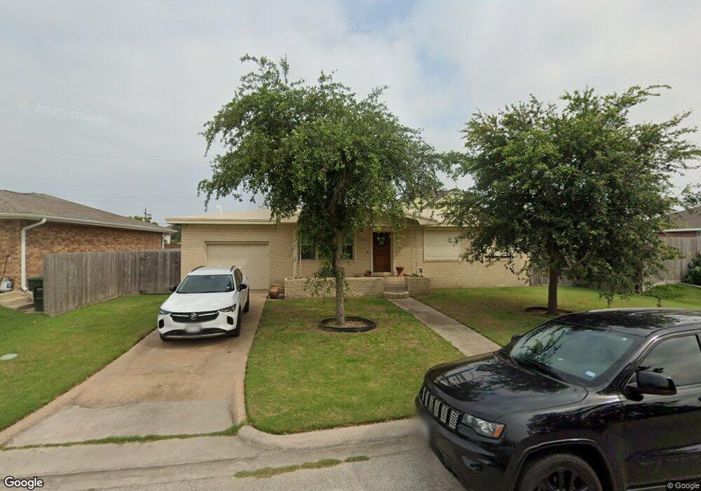
7726 Pruitt Dr Galveston, TX 77554
Estimated Value: $284,090 - $526,000
3
Beds
2
Baths
1,373
Sq Ft
$270/Sq Ft
Est. Value
About This Home
This home is located at 7726 Pruitt Dr, Galveston, TX 77554 and is currently estimated at $370,523, approximately $269 per square foot. 7726 Pruitt Dr is a home located in Galveston County with nearby schools including Parker Elementary School, Burnet STREAM Magnet School, and Morgan Elementary Magnet School.
Ownership History
Date
Name
Owned For
Owner Type
Purchase Details
Closed on
Sep 26, 2025
Sold by
Harborside West Pointe Llc
Bought by
Norris Chance
Current Estimated Value
Purchase Details
Closed on
Sep 23, 2025
Sold by
Norris Chance
Bought by
Harborside West Pointe Llc
Purchase Details
Closed on
Feb 4, 2009
Sold by
Lawhorn Ethel May
Bought by
Norris Chance Patrick
Purchase Details
Closed on
Aug 15, 2001
Sold by
Lawhorn Robert Butler and Lawhorn Ethel May
Bought by
Lawhorn Robert Butler and Lawhorn Ethel May
Create a Home Valuation Report for This Property
The Home Valuation Report is an in-depth analysis detailing your home's value as well as a comparison with similar homes in the area
Home Values in the Area
Average Home Value in this Area
Purchase History
| Date | Buyer | Sale Price | Title Company |
|---|---|---|---|
| Norris Chance | -- | None Listed On Document | |
| Harborside West Pointe Llc | -- | None Listed On Document | |
| Norris Chance Patrick | -- | None Available | |
| Lawhorn Robert Butler | -- | -- |
Source: Public Records
Tax History Compared to Growth
Tax History
| Year | Tax Paid | Tax Assessment Tax Assessment Total Assessment is a certain percentage of the fair market value that is determined by local assessors to be the total taxable value of land and additions on the property. | Land | Improvement |
|---|---|---|---|---|
| 2025 | $1,111 | $165,154 | -- | -- |
| 2024 | $1,111 | $150,140 | -- | -- |
| 2023 | $1,111 | $136,491 | $0 | $0 |
| 2022 | $2,502 | $124,083 | $0 | $0 |
| 2021 | $2,552 | $209,600 | $23,100 | $186,500 |
| 2020 | $2,458 | $142,990 | $23,100 | $119,890 |
| 2019 | $2,299 | $117,500 | $23,100 | $94,400 |
| 2018 | $2,097 | $95,850 | $23,100 | $72,750 |
| 2017 | $1,884 | $96,880 | $23,100 | $73,780 |
| 2016 | $1,712 | $96,880 | $23,100 | $73,780 |
| 2015 | $972 | $96,880 | $23,100 | $73,780 |
| 2014 | $988 | $96,880 | $23,100 | $73,780 |
Source: Public Records
Map
Nearby Homes
- 430 81st St
- 8510 Old Causeway Rd
- 8111 Broadway St Unit 5
- 8407 Teichman Rd
- 8509 Teichman Rd
- 1026 Lillian Ln
- 7123 Broadway St
- 7105 Broadway St
- 1019 Palm Cove Ct
- 508 91st St
- 726 91st St
- 9115 W Bay Dr
- 9705 Teichman Rd
- 9208 W Bay Rd
- 806 93rd St
- 1003 Bamar Ln
- 1001 Bamar Ln
- 9309 Vista Bella Dr
- 710 Vista Bella
- 714 Vista Bella Dr
- 7722 Pruitt Dr
- 7806 Pruitt Dr
- 7725 Channelview Dr
- 7805 Channelview Dr
- 7716 Pruitt Dr
- 7721 Channelview Dr
- 7810 Pruitt Dr
- 7713 Pruitt Dr
- 7717 Channelview Dr
- 7801 Pruitt Dr
- 7714 Pruitt Dr
- 7711 Pruitt Dr
- 7805 Pruitt Dr
- 7812 Pruitt Dr
- 7811 Channelview Dr
- 7710 Pruitt Dr
- 7709 Pruitt Dr
- 7813 Pruitt Dr
- 7818 Pruitt Dr
- 7707 Pruitt Dr