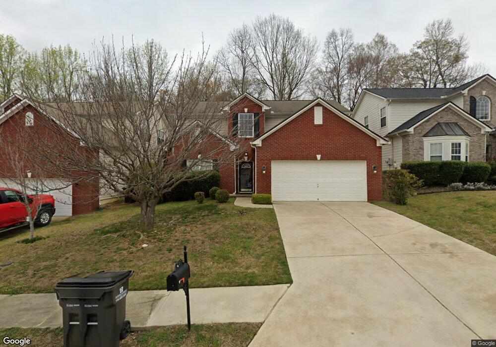
7727 Parkside Dr Unit 1 Lithia Springs, GA 30122
Lithia Springs NeighborhoodEstimated Value: $341,000 - $406,000
--
Bed
3
Baths
2,672
Sq Ft
$139/Sq Ft
Est. Value
About This Home
This home is located at 7727 Parkside Dr Unit 1, Lithia Springs, GA 30122 and is currently estimated at $371,145, approximately $138 per square foot. 7727 Parkside Dr Unit 1 is a home located in Douglas County with nearby schools including Sweetwater Elementary School, Factory Shoals Middle School, and New Manchester High School.
Ownership History
Date
Name
Owned For
Owner Type
Purchase Details
Closed on
Aug 25, 2003
Sold by
Ryland Group Inc
Bought by
Ford Candelest V
Current Estimated Value
Home Financials for this Owner
Home Financials are based on the most recent Mortgage that was taken out on this home.
Original Mortgage
$202,086
Outstanding Balance
$91,809
Interest Rate
5.94%
Mortgage Type
VA
Estimated Equity
$279,336
Create a Home Valuation Report for This Property
The Home Valuation Report is an in-depth analysis detailing your home's value as well as a comparison with similar homes in the area
Home Values in the Area
Average Home Value in this Area
Purchase History
| Date | Buyer | Sale Price | Title Company |
|---|---|---|---|
| Ford Candelest V | $196,300 | -- |
Source: Public Records
Mortgage History
| Date | Status | Borrower | Loan Amount |
|---|---|---|---|
| Open | Ford Candelest V | $202,086 |
Source: Public Records
Tax History Compared to Growth
Tax History
| Year | Tax Paid | Tax Assessment Tax Assessment Total Assessment is a certain percentage of the fair market value that is determined by local assessors to be the total taxable value of land and additions on the property. | Land | Improvement |
|---|---|---|---|---|
| 2024 | $5,482 | $159,520 | $26,120 | $133,400 |
| 2023 | $5,482 | $159,520 | $26,120 | $133,400 |
| 2022 | $4,195 | $120,920 | $18,000 | $102,920 |
| 2021 | $3,171 | $83,880 | $14,160 | $69,720 |
| 2020 | $3,236 | $83,880 | $14,160 | $69,720 |
| 2019 | $3,034 | $81,960 | $14,160 | $67,800 |
| 2018 | $2,759 | $72,280 | $12,920 | $59,360 |
| 2017 | $2,533 | $65,960 | $13,080 | $52,880 |
| 2016 | $2,408 | $61,800 | $12,600 | $49,200 |
| 2015 | $2,257 | $56,480 | $11,840 | $44,640 |
| 2014 | $2,053 | $52,760 | $11,840 | $40,920 |
| 2013 | -- | $48,320 | $10,920 | $37,400 |
Source: Public Records
Map
Nearby Homes
- 7621 Forest Glen Way Unit 2
- 1657 Bradmere Ln
- 1920 Rock House Rd
- 1657 Karsyn Ln
- 973 Forest Knoll Ct
- 1682 Walton Reserve Blvd
- 7147 Walton Reserve Ln
- 1736 Walton Reserve Way
- 00 Six Flags Rd
- 0 Rock House Rd Unit 10135378
- 00 Rock House Rd
- 7368 Mount Vernon Rd
- 2790 Deerfield Dr
- 7306 Mount Vernon Rd
- 859 Aspen Dr
- 2420 Valley Creek Dr
- 6854 Panda Ct Unit A
- 6810 Panda Dr Unit B
- 6811 Panda Dr Unit A
- 1311 Park Center Cir
- 7729 Parkside Dr Unit 1
- 7725 Parkside Dr Unit 1
- 7723 Parkside Dr Unit 1
- 7731 Parkside Dr Unit 7731
- 7731 Parkside Dr
- 7728 Parkside Dr
- 7733 Parkside Dr
- 7726 Parkside Dr
- 7721 Parkside Dr Unit 1
- 7730 Parkside Dr
- 7724 Parkside Dr
- 7724 Parkside Dr Unit 1
- 7732 Parkside Dr
- 7722 Parkside Dr Unit 1
- 7719 Parkside Dr
- 7719 Parkside Dr
- 1544 Fenmore St Unit 1
- 1542 Fenmore St Unit 1
- 7735 Parkside Dr
- 1546 Fenmore St