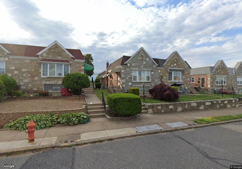
7728 Richard St Philadelphia, PA 19152
Rhawnhurst NeighborhoodEstimated Value: $312,000 - $332,000
--
Bed
--
Bath
1,128
Sq Ft
$288/Sq Ft
Est. Value
About This Home
This home is located at 7728 Richard St, Philadelphia, PA 19152 and is currently estimated at $324,309, approximately $287 per square foot. 7728 Richard St is a home located in Philadelphia County with nearby schools including Rhawnhurst School, Castor Gardens Middle School, and Northeast High School.
Ownership History
Date
Name
Owned For
Owner Type
Purchase Details
Closed on
Aug 17, 2004
Sold by
Baxter Jeanette T
Bought by
Ro Boknam
Current Estimated Value
Home Financials for this Owner
Home Financials are based on the most recent Mortgage that was taken out on this home.
Original Mortgage
$147,250
Outstanding Balance
$69,947
Interest Rate
5.37%
Mortgage Type
Purchase Money Mortgage
Estimated Equity
$254,362
Create a Home Valuation Report for This Property
The Home Valuation Report is an in-depth analysis detailing your home's value as well as a comparison with similar homes in the area
Home Values in the Area
Average Home Value in this Area
Purchase History
| Date | Buyer | Sale Price | Title Company |
|---|---|---|---|
| Ro Boknam | $156,000 | Lawyers Title Ins |
Source: Public Records
Mortgage History
| Date | Status | Borrower | Loan Amount |
|---|---|---|---|
| Open | Ro Boknam | $147,250 |
Source: Public Records
Tax History Compared to Growth
Tax History
| Year | Tax Paid | Tax Assessment Tax Assessment Total Assessment is a certain percentage of the fair market value that is determined by local assessors to be the total taxable value of land and additions on the property. | Land | Improvement |
|---|---|---|---|---|
| 2025 | $3,262 | $290,800 | $58,160 | $232,640 |
| 2024 | $3,262 | $290,800 | $58,160 | $232,640 |
| 2023 | $3,262 | $233,000 | $46,600 | $186,400 |
| 2022 | $2,765 | $233,000 | $46,600 | $186,400 |
| 2021 | $2,765 | $0 | $0 | $0 |
| 2020 | $2,765 | $0 | $0 | $0 |
| 2019 | $2,517 | $0 | $0 | $0 |
| 2018 | $2,322 | $0 | $0 | $0 |
| 2017 | $2,322 | $0 | $0 | $0 |
| 2016 | $2,322 | $0 | $0 | $0 |
| 2015 | $2,223 | $0 | $0 | $0 |
| 2014 | -- | $165,900 | $49,774 | $116,126 |
| 2012 | -- | $22,624 | $2,982 | $19,642 |
Source: Public Records
Map
Nearby Homes
- 7815 Horrocks St
- 7722 Fairfield St
- 2120 Napfle St
- 7525 Calvert St
- 7521 Calvert St
- 2345 Ripley St
- 2301 Ripley St
- 2302 Rhawn St
- 2123 Loney St
- 7703 Brous Ave
- 2023 Hartel Ave
- 7914 Farnsworth St
- 2250 Stanwood St
- 2029 Loney St
- 2232 Stanwood St
- 1919 Lansing St
- 2727 Rhawn St
- 2727 Rhawn St Unit 7AB
- 2755 Rhawn St
- 1917 Griffith St
- 7730 Richard St
- 7726 Richard St
- 7732 Richard St
- 7724 Richard St
- 7734 Richard St
- 7722 Richard St
- 7736 Richard St
- 7720 Richard St
- 7738 Richard St
- 7718 Richard St
- 7729 Richard St
- 7727 Richard St
- 7731 Richard St
- 7725 Richard St
- 7733 Richard St
- 7740 Richard St
- 7716 Richard St
- 7723 Richard St
- 7735 Richard St
- 7721 Richard St