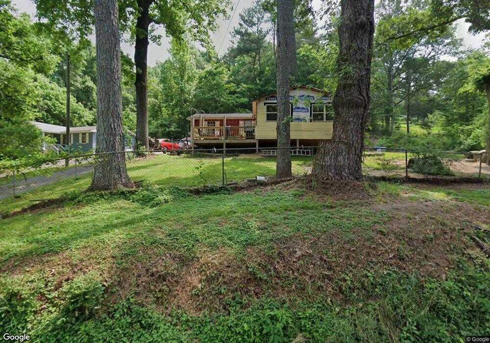
773 Burnt Mill Rd Flintstone, GA 30725
Flintstone NeighborhoodEstimated Value: $201,000 - $234,000
3
Beds
1
Bath
998
Sq Ft
$212/Sq Ft
Est. Value
About This Home
This home is located at 773 Burnt Mill Rd, Flintstone, GA 30725 and is currently estimated at $211,597, approximately $212 per square foot. 773 Burnt Mill Rd is a home located in Walker County with nearby schools including Stone Creek Elementary School, Rossville Middle School, and Ridgeland High School.
Ownership History
Date
Name
Owned For
Owner Type
Purchase Details
Closed on
Oct 20, 1989
Sold by
Woods James M and Woods Margaret
Bought by
Gay Michael S and Gay Rhonda A
Current Estimated Value
Purchase Details
Closed on
Nov 10, 1978
Sold by
Fowler William
Bought by
Woods James M and Woods Margaret
Purchase Details
Closed on
Jan 1, 1972
Bought by
Fowler William
Create a Home Valuation Report for This Property
The Home Valuation Report is an in-depth analysis detailing your home's value as well as a comparison with similar homes in the area
Home Values in the Area
Average Home Value in this Area
Purchase History
| Date | Buyer | Sale Price | Title Company |
|---|---|---|---|
| Gay Michael S | $5,300 | -- | |
| Woods James M | -- | -- | |
| Fowler William | -- | -- |
Source: Public Records
Tax History
| Year | Tax Paid | Tax Assessment Tax Assessment Total Assessment is a certain percentage of the fair market value that is determined by local assessors to be the total taxable value of land and additions on the property. | Land | Improvement |
|---|---|---|---|---|
| 2024 | $1,463 | $65,055 | $6,781 | $58,274 |
| 2023 | $1,408 | $61,167 | $5,382 | $55,785 |
| 2022 | $814 | $32,718 | $1,998 | $30,720 |
| 2021 | $588 | $20,958 | $1,998 | $18,960 |
| 2020 | $507 | $17,233 | $1,998 | $15,235 |
| 2019 | $514 | $17,233 | $1,998 | $15,235 |
| 2018 | $456 | $17,233 | $1,998 | $15,235 |
| 2017 | $562 | $17,233 | $1,998 | $15,235 |
| 2016 | $503 | $17,233 | $1,998 | $15,235 |
| 2015 | $652 | $22,026 | $4,020 | $18,006 |
| 2014 | $570 | $22,026 | $4,020 | $18,006 |
| 2013 | -- | $22,026 | $4,020 | $18,006 |
Source: Public Records
Map
Nearby Homes
- 12 Burnt Mill Cir
- 914 Walker Rd
- 759 Chattanooga Valley Rd
- 931 Chattanooga Valley Rd
- 5719 Saint Elmo Ave
- 1325 Wilson Rd Unit Lot 34
- 1325 Wilson Rd Unit 84
- 1325 Wilson Rd Unit Lot 12
- 1297 Thomas Ave
- 1317 Thomas Ave Unit 8
- 1317 Thomas Ave
- 717 W James St
- 732 Roberta Dr
- 733 Roberta Dr
- 711 W James St
- 5706 Pumpkin Pie Ln
- 1360 Thomas Ave
- 1366 Thomas Ave
- 5414 Dorsey St
- 707 Cherokee Trail
- 747 Burnt Mill Rd
- 717 Burnt Mill Rd
- 781 Burnt Mill Rd
- 778 Burnt Mill Rd
- 46 McConathy Dr
- 625 Burnt Mill Rd
- 625 Burnt Mill Rd
- 625 Burnt Mill Rd
- 783 Burnt Mill Rd
- 1140 Lafayette Dr
- 964 Seymour Ave
- 964 1/2 Seymour Ave
- 76 McConathy Dr
- 0 Lafayette Dr Unit 1391033
- 0 Lafayette Dr Unit 1262796
- 0 Lafayette Dr Unit RTC2668661
- 1122 Lafayette Dr
- 561 Burnt Mill Rd
- 1124 Lafayette Dr
- 818 Burnt Mill Rd
Your Personal Tour Guide
Ask me questions while you tour the home.