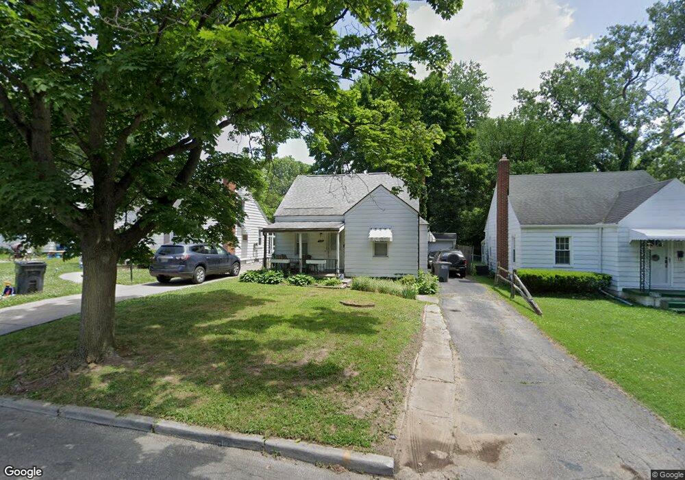
773 Durango Dr Toledo, OH 43609
Southside NeighborhoodEstimated Value: $64,000 - $123,000
3
Beds
2
Baths
869
Sq Ft
$109/Sq Ft
Est. Value
About This Home
This home is located at 773 Durango Dr, Toledo, OH 43609 and is currently estimated at $95,017, approximately $109 per square foot. 773 Durango Dr is a home located in Lucas County with nearby schools including Burroughs Elementary School, Bowsher High School, and Explorers Academy of Science and Technology.
Ownership History
Date
Name
Owned For
Owner Type
Purchase Details
Closed on
Aug 28, 2008
Sold by
Wandtke Steven A
Bought by
Benoit Roy R
Current Estimated Value
Home Financials for this Owner
Home Financials are based on the most recent Mortgage that was taken out on this home.
Original Mortgage
$77,140
Outstanding Balance
$50,512
Interest Rate
6.54%
Mortgage Type
Purchase Money Mortgage
Estimated Equity
$44,505
Purchase Details
Closed on
Dec 8, 2003
Sold by
Estate Of John D Wandtke
Bought by
Wandtke Marilyn M
Purchase Details
Closed on
Nov 6, 2003
Sold by
Wandtke Marilyn M and Wandtke John D
Bought by
Wandtke Steven A
Purchase Details
Closed on
Apr 1, 1997
Sold by
Laubacher Stacy L
Bought by
J David Wandtke Trustee
Purchase Details
Closed on
Sep 13, 1991
Sold by
Wandtke Susan M
Create a Home Valuation Report for This Property
The Home Valuation Report is an in-depth analysis detailing your home's value as well as a comparison with similar homes in the area
Home Values in the Area
Average Home Value in this Area
Purchase History
| Date | Buyer | Sale Price | Title Company |
|---|---|---|---|
| Benoit Roy R | $80,000 | Chicago Title Insurance Co | |
| Wandtke Marilyn M | -- | -- | |
| Wandtke Steven A | $45,000 | -- | |
| J David Wandtke Trustee | $42,300 | -- | |
| -- | $45,000 | -- |
Source: Public Records
Mortgage History
| Date | Status | Borrower | Loan Amount |
|---|---|---|---|
| Open | Benoit Roy R | $77,140 |
Source: Public Records
Tax History
| Year | Tax Paid | Tax Assessment Tax Assessment Total Assessment is a certain percentage of the fair market value that is determined by local assessors to be the total taxable value of land and additions on the property. | Land | Improvement |
|---|---|---|---|---|
| 2025 | -- | $22,085 | $6,265 | $15,820 |
| 2024 | $691 | $22,085 | $6,265 | $15,820 |
| 2023 | $1,307 | $20,020 | $3,885 | $16,135 |
| 2022 | $1,312 | $20,020 | $3,885 | $16,135 |
| 2021 | $1,343 | $20,020 | $3,885 | $16,135 |
| 2020 | $1,405 | $18,550 | $3,605 | $14,945 |
| 2019 | $1,365 | $18,550 | $3,605 | $14,945 |
| 2018 | $1,383 | $18,550 | $3,605 | $14,945 |
| 2017 | $1,404 | $18,130 | $3,535 | $14,595 |
| 2016 | $1,406 | $51,800 | $10,100 | $41,700 |
| 2015 | $1,394 | $51,800 | $10,100 | $41,700 |
| 2014 | $1,141 | $18,140 | $3,540 | $14,600 |
| 2013 | $1,141 | $18,140 | $3,540 | $14,600 |
Source: Public Records
Map
Nearby Homes
- 769 Colima Dr
- 702 Colima Dr
- 2837 Airport Hwy
- 518 Colima Dr
- 2335 Airport Hwy
- 518 Myers St
- 2121 Airport Hwy
- 2052 South Ave
- 415 Mayberry St
- 333 Danberry St
- 2019 South Ave
- 859 National Ave
- 624 Williamsville Ave
- 560 Williamsville Ave
- 2144 Aberdeen Ave
- 1422 Leith Dr
- 2010 Airport Hwy
- 915 Atlantic Ave
- 802 Wright Ave
- 1936 Airport Hwy
Your Personal Tour Guide
Ask me questions while you tour the home.