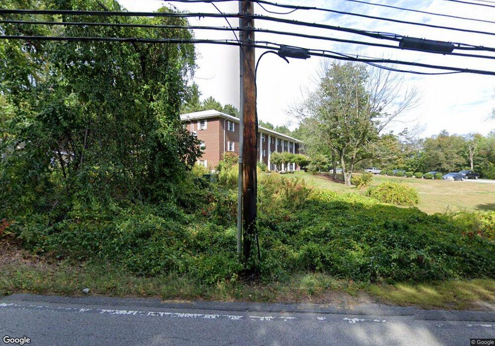
773 Massachusetts Ave Unit B6 Boxborough, MA 01719
Estimated Value: $233,000 - $256,000
1
Bed
1
Bath
650
Sq Ft
$376/Sq Ft
Est. Value
About This Home
This home is located at 773 Massachusetts Ave Unit B6, Boxborough, MA 01719 and is currently estimated at $244,123, approximately $375 per square foot. 773 Massachusetts Ave Unit B6 is a home located in Middlesex County with nearby schools including Acton-Boxborough Regional High School.
Ownership History
Date
Name
Owned For
Owner Type
Purchase Details
Closed on
Mar 1, 2006
Sold by
Jjem Rt and Brooks
Bought by
Aumueller Michael G
Current Estimated Value
Purchase Details
Closed on
Apr 21, 1994
Sold by
Oleary Elizabeth D
Bought by
Jjem Rt and Brooks Mark
Purchase Details
Closed on
Apr 9, 1987
Sold by
Monte Carlo Rt
Bought by
Oleary Eliz D
Create a Home Valuation Report for This Property
The Home Valuation Report is an in-depth analysis detailing your home's value as well as a comparison with similar homes in the area
Home Values in the Area
Average Home Value in this Area
Purchase History
| Date | Buyer | Sale Price | Title Company |
|---|---|---|---|
| Aumueller Michael G | $110,000 | -- | |
| Aumueller Michael G | $110,000 | -- | |
| Jjem Rt | $23,609 | -- | |
| Jjem Rt | $23,609 | -- | |
| Oleary Eliz D | $90,000 | -- |
Source: Public Records
Mortgage History
| Date | Status | Borrower | Loan Amount |
|---|---|---|---|
| Closed | Oleary Eliz D | $0 |
Source: Public Records
Tax History Compared to Growth
Tax History
| Year | Tax Paid | Tax Assessment Tax Assessment Total Assessment is a certain percentage of the fair market value that is determined by local assessors to be the total taxable value of land and additions on the property. | Land | Improvement |
|---|---|---|---|---|
| 2025 | $2,860 | $188,900 | $0 | $188,900 |
| 2024 | $2,571 | $171,500 | $0 | $171,500 |
| 2023 | $1,889 | $121,700 | $0 | $121,700 |
| 2022 | $1,571 | $90,200 | $0 | $90,200 |
| 2020 | $1,501 | $89,800 | $0 | $89,800 |
| 2019 | $1,443 | $87,900 | $0 | $87,900 |
| 2018 | $1,378 | $83,800 | $0 | $83,800 |
| 2017 | $1,256 | $74,700 | $0 | $74,700 |
| 2016 | $1,050 | $64,200 | $0 | $64,200 |
| 2015 | $1,081 | $64,900 | $0 | $64,900 |
| 2014 | $1,171 | $66,200 | $0 | $66,200 |
Source: Public Records
Map
Nearby Homes
- 1155 Burroughs Rd
- 96 Cedarwood Rd
- 139 Picnic St
- 777 Depot Rd
- 134 Russet Ln
- 68 Macintosh Ln
- 89 School House Ln
- 58 Spencer Rd Unit 18K
- 30 Paul Revere Rd
- 53 Swanson Ct Unit 36C
- 50 Spencer Rd Unit 36
- 42 Swanson Ct Unit 14A
- 62 Waite Rd
- 220 Swanson Rd Unit 605
- 220 Swanson Rd Unit 606
- 176 Swanson Rd Unit 309
- 63 Leonard Rd Unit 63
- 12 Olde Lantern Rd
- 310 Codman Hill Rd Unit 35D
- 207 Boxboro Rd
- 773 Massachusetts Ave Unit C10
- 773 Massachusetts Ave Unit B10
- 773 Massachusetts Ave Unit A10
- 773 Massachusetts Ave Unit C9
- 773 Massachusetts Ave Unit B9
- 773 Massachusetts Ave Unit A9
- 773 Massachusetts Ave Unit C8
- 773 Massachusetts Ave Unit B8
- 773 Massachusetts Ave Unit A8
- 773 Massachusetts Ave Unit C7
- 773 Massachusetts Ave Unit B7
- 773 Massachusetts Ave Unit A7
- 773 Massachusetts Ave Unit C6
- 773 Massachusetts Ave Unit A6
- 773 Massachusetts Ave Unit C5
- 773 Massachusetts Ave Unit B5
- 773 Massachusetts Ave Unit C4
- 773 Massachusetts Ave Unit B4
- 773 Massachusetts Ave Unit A4
- 773 Massachusetts Ave Unit C3