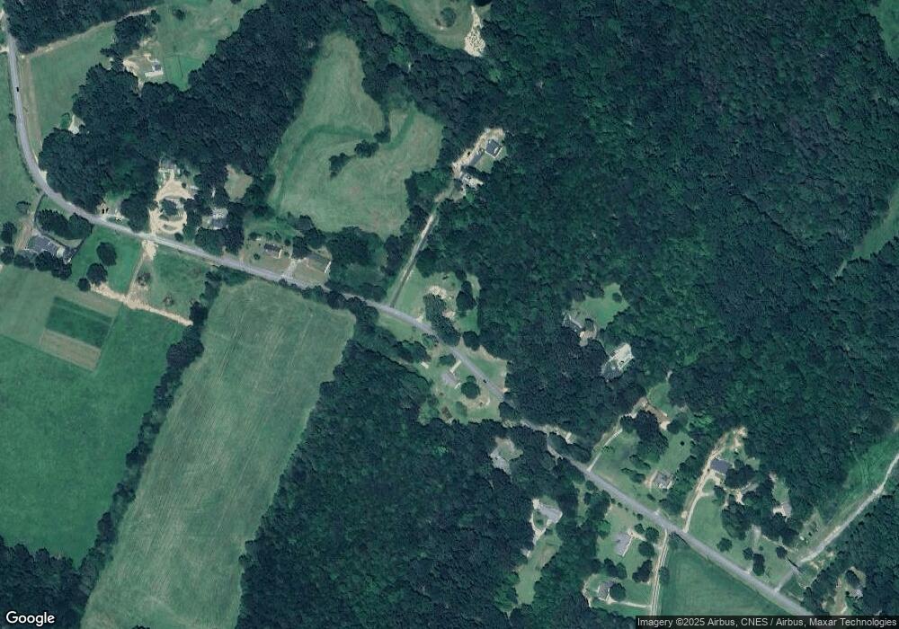
773 Shady Ln Toccoa, GA 30577
Estimated Value: $153,482 - $240,000
2
Beds
1
Bath
960
Sq Ft
$215/Sq Ft
Est. Value
About This Home
This home is located at 773 Shady Ln, Toccoa, GA 30577 and is currently estimated at $206,371, approximately $214 per square foot. 773 Shady Ln is a home with nearby schools including Stephens County High School.
Ownership History
Date
Name
Owned For
Owner Type
Purchase Details
Closed on
Aug 3, 2022
Sold by
Boyd Susan P
Bought by
Brock Tonya B
Current Estimated Value
Purchase Details
Closed on
Sep 1, 2005
Sold by
Whiten Mark E
Bought by
Boyd Susan P
Home Financials for this Owner
Home Financials are based on the most recent Mortgage that was taken out on this home.
Original Mortgage
$133,661
Interest Rate
5.77%
Mortgage Type
New Conventional
Purchase Details
Closed on
Jun 29, 1999
Bought by
<Buyer Info Not Present>
Purchase Details
Closed on
Sep 1, 1995
Bought by
<Buyer Info Not Present>
Create a Home Valuation Report for This Property
The Home Valuation Report is an in-depth analysis detailing your home's value as well as a comparison with similar homes in the area
Home Values in the Area
Average Home Value in this Area
Purchase History
| Date | Buyer | Sale Price | Title Company |
|---|---|---|---|
| Brock Tonya B | -- | -- | |
| Boyd Susan P | $130,000 | -- | |
| <Buyer Info Not Present> | -- | -- | |
| <Buyer Info Not Present> | -- | -- |
Source: Public Records
Mortgage History
| Date | Status | Borrower | Loan Amount |
|---|---|---|---|
| Previous Owner | Boyd Susan P | $133,661 |
Source: Public Records
Tax History Compared to Growth
Tax History
| Year | Tax Paid | Tax Assessment Tax Assessment Total Assessment is a certain percentage of the fair market value that is determined by local assessors to be the total taxable value of land and additions on the property. | Land | Improvement |
|---|---|---|---|---|
| 2024 | $1,109 | $36,427 | $18,168 | $18,259 |
| 2023 | $1,044 | $35,060 | $18,168 | $16,892 |
| 2022 | $1,282 | $43,076 | $27,137 | $15,939 |
| 2021 | $1,290 | $41,263 | $27,137 | $14,126 |
| 2020 | $1,317 | $41,718 | $27,137 | $14,581 |
| 2019 | $1,257 | $39,636 | $25,845 | $13,791 |
| 2018 | $1,257 | $39,636 | $25,845 | $13,791 |
| 2017 | $1,277 | $39,636 | $25,845 | $13,791 |
| 2016 | $1,257 | $39,635 | $25,844 | $13,790 |
| 2015 | $1,317 | $39,649 | $25,844 | $13,804 |
| 2014 | $1,326 | $39,285 | $25,845 | $13,440 |
| 2013 | -- | $43,620 | $30,180 | $13,440 |
Source: Public Records
Map
Nearby Homes
- 54 Stonewood Forest Rd
- 56 Crawford Manor Dr
- 672 Crawford Cir
- 5.10 ACRES Hwy 123
- 7 Jottings Dr
- 3089 Georgia 17 Alternate
- 535 Deer Chase
- 3013 Hwy 17 A
- 919 Deer Chase Rd
- 17 Pinetree Rd
- 151 Rock Creek Rd
- 0 Brookhaven Cir Unit 10616964
- 46 Cedar Ridge Dr
- 513 S Red Rock Rd
- 668 Brookdale Rd
- 3048 Oak Valley Rd
- 290 Indian Dr
- 140 Julia Ct
- 136 Julia Ct
- 490 Addington Dr
