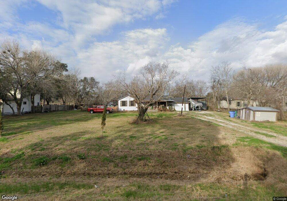
7731 Jordan Rd Manvel, TX 77578
Estimated Value: $205,000 - $368,000
--
Bed
5
Baths
1,228
Sq Ft
$212/Sq Ft
Est. Value
About This Home
This home is located at 7731 Jordan Rd, Manvel, TX 77578 and is currently estimated at $260,859, approximately $212 per square foot. 7731 Jordan Rd is a home located in Brazoria County.
Ownership History
Date
Name
Owned For
Owner Type
Purchase Details
Closed on
Oct 22, 1996
Sold by
Lewis James J and Lewis Carolyn Bowen
Bought by
Karg Harold D and Karg Roxanne M
Current Estimated Value
Home Financials for this Owner
Home Financials are based on the most recent Mortgage that was taken out on this home.
Original Mortgage
$44,000
Outstanding Balance
$4,119
Interest Rate
8.31%
Estimated Equity
$256,740
Purchase Details
Closed on
Mar 14, 1996
Sold by
Sauls Everett J and Sauls Nora
Bought by
Shotwell Randy D and Shotwell Darla P
Home Financials for this Owner
Home Financials are based on the most recent Mortgage that was taken out on this home.
Original Mortgage
$19,800
Interest Rate
9%
Mortgage Type
Seller Take Back
Purchase Details
Closed on
Feb 6, 1996
Sold by
Krpec Larry R and Krpec Terri L
Bought by
Bank Of America
Home Financials for this Owner
Home Financials are based on the most recent Mortgage that was taken out on this home.
Original Mortgage
$19,800
Interest Rate
9%
Mortgage Type
Seller Take Back
Create a Home Valuation Report for This Property
The Home Valuation Report is an in-depth analysis detailing your home's value as well as a comparison with similar homes in the area
Home Values in the Area
Average Home Value in this Area
Purchase History
| Date | Buyer | Sale Price | Title Company |
|---|---|---|---|
| Karg Harold D | -- | -- | |
| Karg Harold D | -- | -- | |
| Shotwell Randy D | -- | -- | |
| Bank Of America | $25,500 | -- |
Source: Public Records
Mortgage History
| Date | Status | Borrower | Loan Amount |
|---|---|---|---|
| Open | Karg Harold D | $44,000 | |
| Closed | Karg Harold D | $44,000 | |
| Previous Owner | Shotwell Randy D | $19,800 |
Source: Public Records
Tax History Compared to Growth
Tax History
| Year | Tax Paid | Tax Assessment Tax Assessment Total Assessment is a certain percentage of the fair market value that is determined by local assessors to be the total taxable value of land and additions on the property. | Land | Improvement |
|---|---|---|---|---|
| 2025 | $1,354 | $122,341 | $79,200 | $112,870 |
| 2023 | $1,354 | $101,108 | $102,960 | $82,040 |
| 2022 | $2,482 | $91,916 | $54,050 | $58,450 |
| 2021 | $2,364 | $83,560 | $38,610 | $44,950 |
| 2020 | $2,330 | $83,560 | $38,610 | $44,950 |
| 2019 | $2,203 | $73,310 | $32,670 | $40,640 |
| 2018 | $2,328 | $80,510 | $46,110 | $34,400 |
| 2017 | $2,518 | $91,020 | $48,110 | $42,910 |
| 2016 | $2,289 | $86,090 | $40,100 | $45,990 |
| 2014 | $1,764 | $70,220 | $29,700 | $40,520 |
Source: Public Records
Map
Nearby Homes
- 7409 Reed Ln
- 7511 King St
- 7316 Jordan Rd
- 7444 King St
- 7903 Masters Rd
- 20503 Morris Ave
- 7431 Rodgers Rd
- 7810 Masters Rd
- 8428 Bissell Rd
- 7234 Bissell Rd
- TBD Morris Ave
- 21103 Highway 6
- 7315 Pine St
- 7102 King St
- 9710 Harvest Acres Dr
- 00 Palmetto St
- 0 Lewis Ln
- 7146 Masters Rd
- 7142 Lewis Ln
- 8923 Blue Grotto Ln