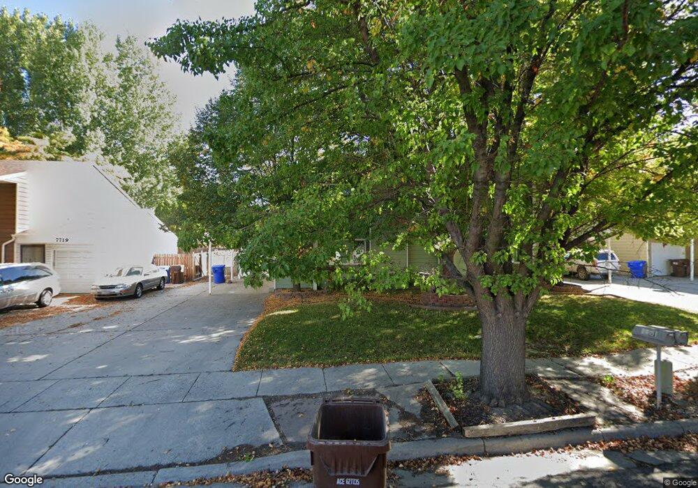
7731 S 415 E Unit 7733 Midvale, UT 84047
Estimated Value: $711,349 - $758,000
6
Beds
4
Baths
3,234
Sq Ft
$224/Sq Ft
Est. Value
About This Home
This home is located at 7731 S 415 E Unit 7733, Midvale, UT 84047 and is currently estimated at $724,587, approximately $224 per square foot. 7731 S 415 E Unit 7733 is a home located in Salt Lake County with nearby schools including Midvalley Elementary School, Union Middle School, and Hillcrest High School.
Ownership History
Date
Name
Owned For
Owner Type
Purchase Details
Closed on
Jun 18, 2010
Sold by
Gorringe Dustin E and Gorringe Cami G
Bought by
Gorringe Dustin E and Gorringe Cami G
Current Estimated Value
Purchase Details
Closed on
Nov 18, 2005
Sold by
Henrie Ryan S and Henrie Ann W
Bought by
Gorringe Dustin E and Gorringe Camie G
Purchase Details
Closed on
Jul 28, 1999
Sold by
Swanson Elwood L and Swanson Judie L
Bought by
Henrie Ryan S and Henrie Ann W
Home Financials for this Owner
Home Financials are based on the most recent Mortgage that was taken out on this home.
Original Mortgage
$148,000
Interest Rate
7.64%
Create a Home Valuation Report for This Property
The Home Valuation Report is an in-depth analysis detailing your home's value as well as a comparison with similar homes in the area
Home Values in the Area
Average Home Value in this Area
Purchase History
| Date | Buyer | Sale Price | Title Company |
|---|---|---|---|
| Gorringe Dustin E | -- | Accommodation | |
| Gorringe Dustin E | -- | Sutherland Title | |
| Henrie Ryan S | -- | Sutherland Title | |
| Swanson Elwood L | -- | Sutherland Title |
Source: Public Records
Mortgage History
| Date | Status | Borrower | Loan Amount |
|---|---|---|---|
| Previous Owner | Henrie Ryan S | $148,000 |
Source: Public Records
Tax History
| Year | Tax Paid | Tax Assessment Tax Assessment Total Assessment is a certain percentage of the fair market value that is determined by local assessors to be the total taxable value of land and additions on the property. | Land | Improvement |
|---|---|---|---|---|
| 2025 | $3,790 | $646,000 | $156,600 | $489,400 |
| 2024 | $3,790 | $622,300 | $147,000 | $475,300 |
| 2023 | $3,230 | $525,500 | $139,800 | $385,700 |
| 2022 | $3,322 | $528,000 | $137,100 | $390,900 |
| 2021 | $2,937 | $399,100 | $137,100 | $262,000 |
| 2020 | $2,832 | $364,200 | $91,500 | $272,700 |
| 2019 | $2,758 | $345,500 | $86,300 | $259,200 |
| 2016 | $2,272 | $268,300 | $86,300 | $182,000 |
Source: Public Records
Map
Nearby Homes
- 397 E Tractor Dr Unit 103
- 354 E 7635 South St
- 350 E 7635 South St
- 330 E 7635 S Unit 344
- 7613 S 300 E
- 7579 S 520 E
- 7824 S 280 E
- 600 E Briarsprings Cir
- 379 E Horse Creek Dr
- 393 E Corral Creek Dr
- 7359 S Dewmar Ct W Unit 32
- 489 E 7800 S Unit 2
- 7363 S Dewmar Ct W Unit 33
- 7342 S Seven Tree Ln W Unit 77
- 7329 S Seven Tree Ln W Unit 85
- 7371 S Dewmar Ct W Unit 35
- 7327 S Seven Tree Ln W Unit 86
- 7337 S Seven Tree Ln W Unit 82
- 7343 S Seven Tree Ln Unit 79
- 7355 S Dewmar Ct W Unit 31
- 7719 S 415 E
- 7717 S 415 E Unit 7719
- 7743 S 415 E Unit 7745
- 7730 Unionwood Dr
- 7740 Unionwood Dr
- 7722 Unionwood Dr
- 7722 S Unionwood Dr
- 7730 S 415 E Unit 7732
- 7748 S Unionwood Dr
- 7748 Unionwood Dr
- 7742 S 415 E Unit 7744
- 7716 S 415 E Unit 7718
- 7705 S 415 E Unit 7707
- 7755 S 415 E Unit 7757
- 7744 S 415 E
- 449 Unionwood Dr
- 7758 S Unionwood Dr
- 7758 Unionwood Dr
- 7754 S 415 E Unit 7756
- 7704 S 415 E Unit 7706
Your Personal Tour Guide
Ask me questions while you tour the home.