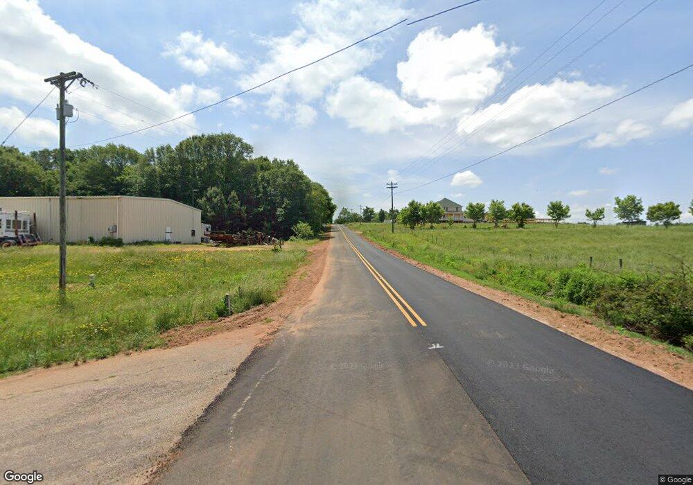
7732A Whitworth Cir Toccoa, GA 30577
Estimated Value: $199,000 - $307,000
3
Beds
2
Baths
1,554
Sq Ft
$175/Sq Ft
Est. Value
About This Home
This home is located at 7732A Whitworth Cir, Toccoa, GA 30577 and is currently estimated at $272,133, approximately $175 per square foot. 7732A Whitworth Cir is a home located in Stephens County with nearby schools including Stephens County High School, Shepherds Hill Academy, and Shepherd's Hill Academy.
Ownership History
Date
Name
Owned For
Owner Type
Purchase Details
Closed on
Mar 21, 2025
Sold by
Broome Boyd
Bought by
Northeast Georgia Dreambuilders Inc
Current Estimated Value
Purchase Details
Closed on
Aug 6, 2004
Sold by
Broome Boyd and Karen Lynn
Bought by
Broome Boyd
Purchase Details
Closed on
Dec 11, 2003
Sold by
Broome Boyd
Bought by
Broome Boyd and Karen Lynn
Purchase Details
Closed on
Oct 29, 2003
Sold by
Caples Joe F and Caples Suzanne
Bought by
Broome Boyd
Create a Home Valuation Report for This Property
The Home Valuation Report is an in-depth analysis detailing your home's value as well as a comparison with similar homes in the area
Home Values in the Area
Average Home Value in this Area
Purchase History
| Date | Buyer | Sale Price | Title Company |
|---|---|---|---|
| Northeast Georgia Dreambuilders Inc | $90,500 | -- | |
| Broome Boyd | -- | -- | |
| Broome Boyd | -- | -- | |
| Broome Boyd | $80,000 | -- |
Source: Public Records
Tax History Compared to Growth
Tax History
| Year | Tax Paid | Tax Assessment Tax Assessment Total Assessment is a certain percentage of the fair market value that is determined by local assessors to be the total taxable value of land and additions on the property. | Land | Improvement |
|---|---|---|---|---|
| 2025 | $1,213 | $55,368 | $4,025 | $51,343 |
| 2024 | $1,076 | $37,326 | $4,025 | $33,301 |
| 2023 | $452 | $34,848 | $4,025 | $30,823 |
| 2022 | $925 | $33,070 | $4,025 | $29,045 |
| 2021 | $880 | $30,137 | $4,025 | $26,112 |
| 2020 | $903 | $30,609 | $4,025 | $26,584 |
| 2019 | $901 | $30,417 | $3,833 | $26,584 |
| 2018 | $901 | $30,417 | $3,833 | $26,584 |
| 2017 | $915 | $30,417 | $3,833 | $26,584 |
| 2016 | $901 | $30,417 | $3,833 | $26,584 |
| 2015 | $937 | $30,223 | $3,833 | $26,390 |
| 2014 | $953 | $30,224 | $3,833 | $26,390 |
| 2013 | -- | $31,192 | $4,792 | $26,400 |
Source: Public Records
Map
Nearby Homes
- 160 Whitworth Cir
- 2230 Tower Rd
- 836 Swilling Rd
- 538 Oil Mill Rd Unit 8
- 1120 Combs Ave
- 574 Oil Mill Rd Unit 6
- 18 Webb Rd
- 556 Oil Mill Rd Unit 7
- 0 Herron Rd Unit 14382283
- 197 Howard Rd
- 134 Lakeside Hills Rd
- 0 Eastanollee Rd Unit 10440265
- 1247 Anderson Thomas Rd Unit 9
- 0 Eagle Claw Ct Unit 7675414
- 0 Eagle Claw Ct Unit 420092
- 0 Eagle Claw Ct Unit 10637801
- 219 Eastanollee Rd
- 1380 Anderson Thomas Rd
- 300 Grady Brock Rd Unit 20
- 201 Hickory Hill Ln
- 160 Whitworth Cir Unit TRACT 1
- 99 Whitworth Cir
- 814 S Yow Mill Rd
- 372 Whitworth Cir
- 1076 S Yow Mill Rd
- 837 S Yow Mill Rd
- 1106 S Yow Mill Rd
- 742 S Yow Mill Rd
- 1047 S Yow Mill Rd
- 399 Whitworth Cir
- 397 Whitworth Cir
- 303 Whitworth Cir
- 1110 S Yow Mill Rd
- 209 Whitworth Cir
- 298 Whitworth Cir
- 1176 S Yow Mill Rd
- 1118 Hayes Wilbanks Rd
- 241 Whitworth Cir
- 84 Bowers Rd
- 670 S Yow Mill Rd
