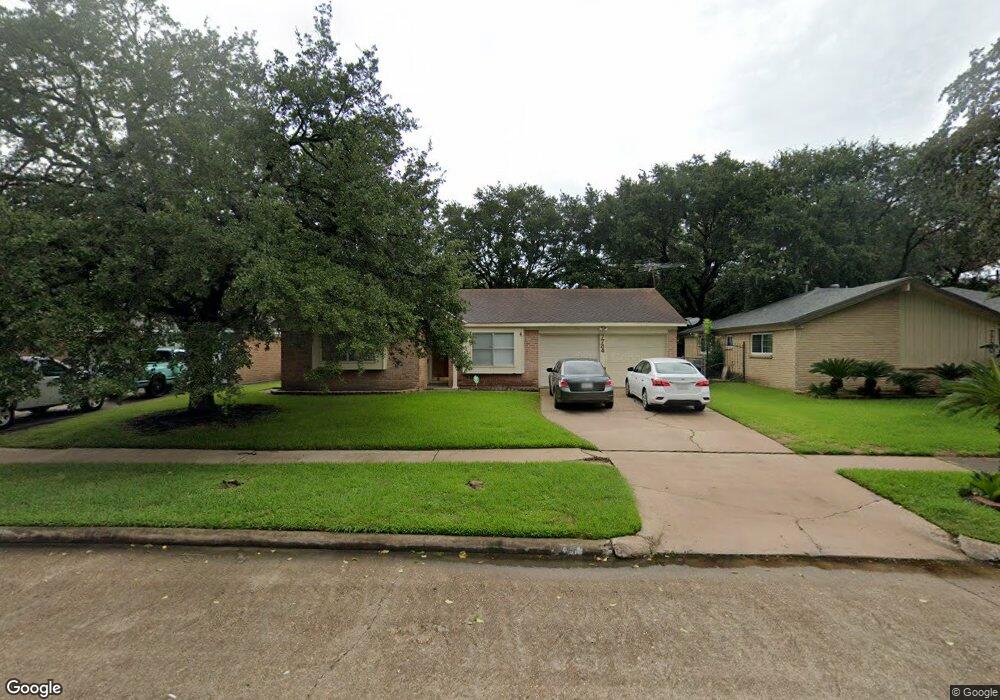
7734 Barberton Dr Houston, TX 77036
Sharpstown NeighborhoodEstimated Value: $279,000 - $293,000
3
Beds
2
Baths
1,663
Sq Ft
$173/Sq Ft
Est. Value
About This Home
This home is located at 7734 Barberton Dr, Houston, TX 77036 and is currently estimated at $287,750, approximately $173 per square foot. 7734 Barberton Dr is a home located in Harris County with nearby schools including Neff Elementary School, Sugar Grove Academy, and Sharpstown High School.
Ownership History
Date
Name
Owned For
Owner Type
Purchase Details
Closed on
Aug 31, 2009
Sold by
Coile Beverly Ann
Bought by
Rodriguez Mario R and Palmero Daimet
Current Estimated Value
Home Financials for this Owner
Home Financials are based on the most recent Mortgage that was taken out on this home.
Original Mortgage
$6,000
Interest Rate
5.2%
Mortgage Type
Stand Alone Second
Purchase Details
Closed on
Apr 16, 2008
Sold by
Coleman John L
Bought by
Coleman John L
Create a Home Valuation Report for This Property
The Home Valuation Report is an in-depth analysis detailing your home's value as well as a comparison with similar homes in the area
Home Values in the Area
Average Home Value in this Area
Purchase History
| Date | Buyer | Sale Price | Title Company |
|---|---|---|---|
| Rodriguez Mario R | -- | Tradition Title Company | |
| Coleman John L | -- | None Available |
Source: Public Records
Mortgage History
| Date | Status | Borrower | Loan Amount |
|---|---|---|---|
| Closed | Rodriguez Mario R | $6,000 | |
| Open | Rodriguez Mario R | $118,808 |
Source: Public Records
Tax History Compared to Growth
Tax History
| Year | Tax Paid | Tax Assessment Tax Assessment Total Assessment is a certain percentage of the fair market value that is determined by local assessors to be the total taxable value of land and additions on the property. | Land | Improvement |
|---|---|---|---|---|
| 2025 | $3,861 | $288,846 | $134,352 | $154,494 |
| 2024 | $3,861 | $284,920 | $97,032 | $187,888 |
| 2023 | $3,861 | $288,336 | $97,032 | $191,304 |
| 2022 | $5,319 | $258,786 | $59,712 | $199,074 |
| 2021 | $4,939 | $211,904 | $59,712 | $152,192 |
| 2020 | $5,196 | $207,724 | $59,712 | $148,012 |
| 2019 | $5,254 | $207,724 | $44,784 | $162,940 |
| 2018 | $3,421 | $198,945 | $44,784 | $154,161 |
| 2017 | $4,339 | $193,763 | $44,784 | $148,979 |
| 2016 | $3,945 | $185,923 | $44,784 | $141,139 |
| 2015 | $2,404 | $165,990 | $44,784 | $121,206 |
| 2014 | $2,404 | $142,397 | $44,784 | $97,613 |
Source: Public Records
Map
Nearby Homes
- 8019 Sharpview Dr
- 7419 Barberton Dr
- 8119 Concho St
- 8218 Hazen St
- 7622 Troulon Dr
- 7819 Bellaire Blvd
- 8418 Hazen St
- 8314 Edgemoor Dr
- 7302 Burning Tree Dr
- 7607 Grape St
- 8530 Roos Rd
- 7213 Beechnut St Unit D
- 7302 Redding Rd
- 7205 Beechnut St Unit A
- 7323 Carew St
- 7522 Jackwood St
- 8515 Edgemoor Dr
- 7839 Fondren Rd
- 8787 Brae Acres Rd Unit 403
- 8787 Brae Acres Rd Unit 307
- 7730 Barberton Dr
- 7738 Barberton Dr
- 7723 Romney Rd
- 7727 Romney Rd
- 7726 Barberton Dr
- 7742 Barberton Dr
- 7731 Romney Rd
- 7719 Romney Rd
- 7735 Barberton Dr
- 7739 Barberton Dr
- 7731 Barberton Dr
- 7722 Barberton Dr
- 7735 Romney Rd
- 7715 Romney Rd
- 7743 Barberton Dr
- 7727 Barberton Dr
- 7723 Barberton Dr
- 7718 Barberton Dr
- 7711 Romney Rd
- 7726 Romney Rd