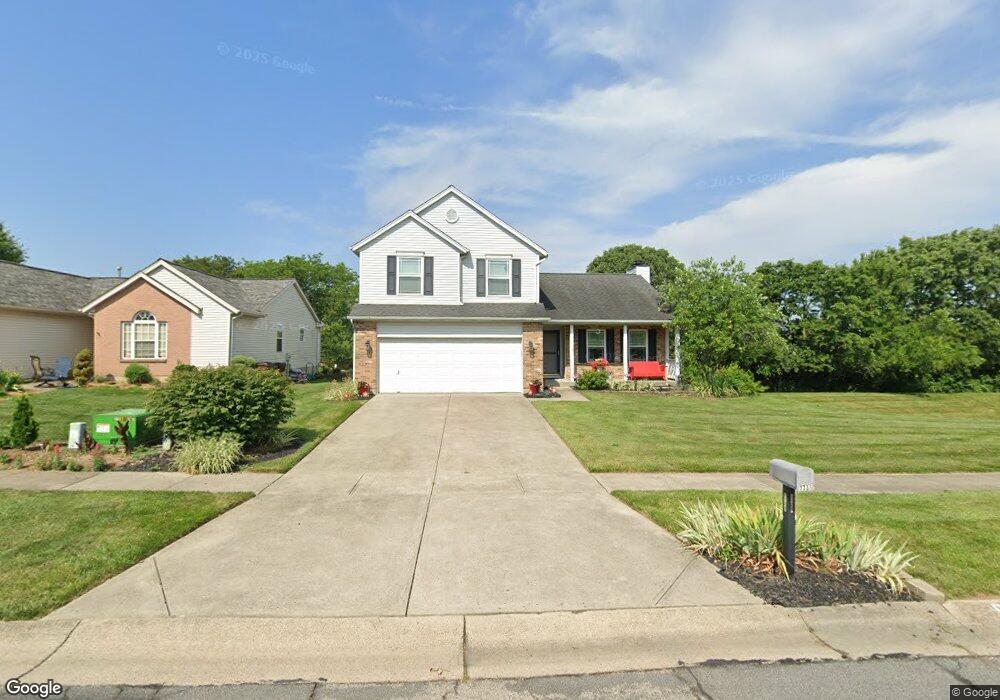
7736 Joan Dr West Chester, OH 45069
West Chester Township NeighborhoodEstimated Value: $374,000 - $401,727
3
Beds
3
Baths
1,902
Sq Ft
$204/Sq Ft
Est. Value
About This Home
This home is located at 7736 Joan Dr, West Chester, OH 45069 and is currently estimated at $388,182, approximately $204 per square foot. 7736 Joan Dr is a home located in Butler County with nearby schools including Hopewell Early Childhood School, Adena Elementary School, and Lakota Ridge Junior School.
Ownership History
Date
Name
Owned For
Owner Type
Purchase Details
Closed on
Jun 10, 2008
Sold by
Odonnel Linda
Bought by
Odonnel Linda and Odonnel Family Trust
Current Estimated Value
Purchase Details
Closed on
Apr 3, 1996
Sold by
Todd Group Inc
Bought by
O'Donnel Linda
Home Financials for this Owner
Home Financials are based on the most recent Mortgage that was taken out on this home.
Original Mortgage
$100,000
Interest Rate
7.36%
Mortgage Type
New Conventional
Purchase Details
Closed on
Jan 11, 1996
Sold by
Todd Dev Co Inc
Bought by
Todd Group Inc
Home Financials for this Owner
Home Financials are based on the most recent Mortgage that was taken out on this home.
Original Mortgage
$105,500
Interest Rate
7.36%
Mortgage Type
New Conventional
Create a Home Valuation Report for This Property
The Home Valuation Report is an in-depth analysis detailing your home's value as well as a comparison with similar homes in the area
Home Values in the Area
Average Home Value in this Area
Purchase History
| Date | Buyer | Sale Price | Title Company |
|---|---|---|---|
| Odonnel Linda | -- | Attorney | |
| O'Donnel Linda | $136,800 | -- | |
| Todd Group Inc | $22,400 | -- |
Source: Public Records
Mortgage History
| Date | Status | Borrower | Loan Amount |
|---|---|---|---|
| Previous Owner | O'Donnel Linda | $100,000 | |
| Previous Owner | Todd Group Inc | $105,500 |
Source: Public Records
Tax History Compared to Growth
Tax History
| Year | Tax Paid | Tax Assessment Tax Assessment Total Assessment is a certain percentage of the fair market value that is determined by local assessors to be the total taxable value of land and additions on the property. | Land | Improvement |
|---|---|---|---|---|
| 2024 | $2,704 | $107,200 | $19,140 | $88,060 |
| 2023 | $4,411 | $107,470 | $19,140 | $88,330 |
| 2022 | $4,173 | $77,330 | $19,140 | $58,190 |
| 2021 | $3,951 | $74,560 | $19,140 | $55,420 |
| 2020 | $4,028 | $74,560 | $19,140 | $55,420 |
| 2019 | $3,650 | $65,550 | $19,470 | $46,080 |
| 2018 | $3,730 | $65,550 | $19,470 | $46,080 |
| 2017 | $3,797 | $65,550 | $19,470 | $46,080 |
| 2016 | $3,686 | $59,920 | $19,470 | $40,450 |
| 2015 | $3,663 | $59,920 | $19,470 | $40,450 |
| 2014 | $3,543 | $59,920 | $19,470 | $40,450 |
| 2013 | $3,543 | $56,300 | $15,180 | $41,120 |
Source: Public Records
Map
Nearby Homes
- 9052 Saxton Dr
- 7761 Jonathan Ct
- 8997 Saxton Dr
- 7853 W Chester Rd
- 9337 Cincinnati Columbus Rd
- 7476 W Chester Rd
- 7950 Ruth Ct
- 8749 Monticello Dr
- 9302 W Meadow Dr
- 9447 Eastbrook Dr
- 9024 Revere Run
- 7971 Jasmine Trail
- 7470 Susan Springs Dr
- 8698 Cox Rd
- 7318 Hollywood Dr
- 8141 Stone Dr
- 7661 Brookdale Dr
- 9616 Holly Leaf Cir
- 8178 Stone Dr
- 8558 Cox Rd
- 7730 Joan Dr
- 7740 Joan Dr
- 9048 Saxton Dr
- 7735 Joan Dr
- 7744 Joan Dr
- 7729 Joan Dr
- 7682 Joan Dr
- 9046 Saxton Dr
- 7723 Joan Dr
- 9093 Quentin Ct
- 9087 Quentin Ct
- 9042 Saxton Dr
- 9107 West Chester Point
- 9107 W Chester Point
- 7717 Joan Dr
- 9107 W Chester Pointe
- 9115 W Chester Pointe
- 9115 W Chester Point
- 9115 West Chester Point
- 7699 Joan Dr