7736 View Ridge Rd Maple Falls, WA 98266
Estimated Value: $394,192 - $415,000
3
Beds
1
Bath
1,104
Sq Ft
$366/Sq Ft
Est. Value
About This Home
This home is located at 7736 View Ridge Rd, Maple Falls, WA 98266 and is currently estimated at $403,548, approximately $365 per square foot. 7736 View Ridge Rd is a home located in Whatcom County with nearby schools including Mount Baker Senior High School.
Ownership History
Date
Name
Owned For
Owner Type
Purchase Details
Closed on
Apr 20, 2023
Sold by
Mcbeath John Brent
Bought by
Chen Albert Brian and Wang Meng H
Current Estimated Value
Home Financials for this Owner
Home Financials are based on the most recent Mortgage that was taken out on this home.
Original Mortgage
$220,000
Outstanding Balance
$213,355
Interest Rate
6.73%
Mortgage Type
New Conventional
Estimated Equity
$190,193
Create a Home Valuation Report for This Property
The Home Valuation Report is an in-depth analysis detailing your home's value as well as a comparison with similar homes in the area
Home Values in the Area
Average Home Value in this Area
Purchase History
| Date | Buyer | Sale Price | Title Company |
|---|---|---|---|
| Chen Albert Brian | -- | Chicago Title |
Source: Public Records
Mortgage History
| Date | Status | Borrower | Loan Amount |
|---|---|---|---|
| Open | Chen Albert Brian | $220,000 |
Source: Public Records
Tax History
| Year | Tax Paid | Tax Assessment Tax Assessment Total Assessment is a certain percentage of the fair market value that is determined by local assessors to be the total taxable value of land and additions on the property. | Land | Improvement |
|---|---|---|---|---|
| 2025 | $2,345 | $301,411 | $146,880 | $154,531 |
| 2024 | $1,976 | $294,762 | $144,000 | $150,762 |
| 2023 | $1,976 | $263,675 | $103,212 | $160,463 |
| 2022 | $1,557 | $210,942 | $82,571 | $128,371 |
| 2021 | $1,370 | $167,418 | $65,534 | $101,884 |
| 2020 | $1,428 | $131,826 | $51,602 | $80,224 |
| 2019 | $1,162 | $131,826 | $51,602 | $80,224 |
| 2018 | $1,606 | $114,961 | $45,000 | $69,961 |
| 2017 | $1,361 | $125,905 | $42,264 | $83,641 |
| 2016 | $1,321 | $113,623 | $38,160 | $75,463 |
| 2015 | $1,237 | $109,352 | $37,260 | $72,092 |
| 2014 | -- | $102,779 | $34,920 | $67,859 |
| 2013 | -- | $107,733 | $36,000 | $71,733 |
Source: Public Records
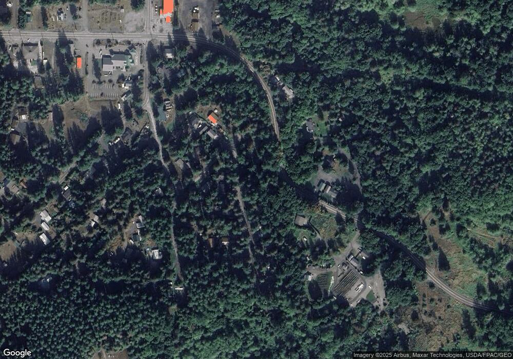
Map
Nearby Homes
- 7929 Silver Lake Rd
- 165 4 Christmas Tree Cir
- 178 4 Christmas Tree Cir
- 59 4 Christmas Tree Cir
- 171 4 Christmas Tree Cir
- 7326 Mount Baker Hwy
- 48 4 Branch Cir
- 24 4 Drial Loop
- 67 3 Schinn Canyon Cir
- 2 3 Schinn Canyon Cir
- 215 Big River Blvd E
- 3 2 Wilderness Way
- 86 3 Sunset Cir
- 89 Sunset Cir
- 5 2 Wilderness Way
- 17 Schinn Canyon Cir
- 62 2 Wilderness Way
- 147 3 E Big River Blvd
- 175 Big River Blvd E
- 243 Schinn Canyon Dr
- 7744 Viewridge Dr
- 7728 View Ridge Rd
- 7744 View Ridge Rd
- 7736 View Ridge Dr
- 7748 Viewridge Dr
- 7724 View Ridge Rd
- 7739 View Ridge Rd
- 7743 View Ridge Dr
- 7743 View Ridge Dr
- 7735 View Ridge Rd
- 60 Mt Baker Hwy
- 7739 View Ridge Dr
- 7752 Shannon Way
- 7720 View Ridge Rd
- 7753 Maple Dr
- 7764 Shannon Way
- 7757 Maple Dr
- 7724 View Ridge Dr
- 7748 Shannon Way
- 7717 Shuksan Ct
Your Personal Tour Guide
Ask me questions while you tour the home.