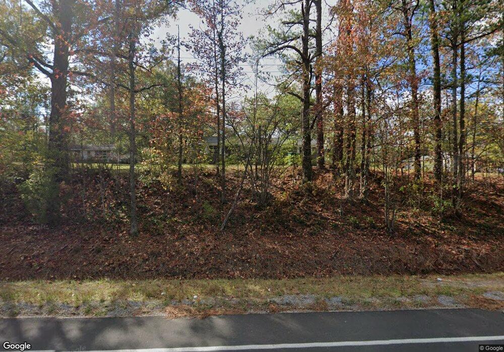
774 Highway 31 S Alabaster, AL 35007
Estimated Value: $240,000 - $320,182
--
Bed
--
Bath
2,636
Sq Ft
$106/Sq Ft
Est. Value
About This Home
This home is located at 774 Highway 31 S, Alabaster, AL 35007 and is currently estimated at $278,796, approximately $105 per square foot. 774 Highway 31 S is a home with nearby schools including Thompson Intermediate School, Thompson Middle School, and Thompson High School.
Ownership History
Date
Name
Owned For
Owner Type
Purchase Details
Closed on
Jul 8, 2024
Sold by
Seales Lola
Bought by
Hernandez Ana Maria Martin and Terrazas Sergio Ramirez
Current Estimated Value
Purchase Details
Closed on
Jun 11, 2016
Sold by
Mcguire Angie and Brothers Cynthia
Bought by
Seales Lola
Purchase Details
Closed on
Jun 29, 2006
Sold by
Estate Of Jane Lou Langston
Bought by
Seales David Lathon
Home Financials for this Owner
Home Financials are based on the most recent Mortgage that was taken out on this home.
Original Mortgage
$112,500
Interest Rate
6.57%
Mortgage Type
Unknown
Create a Home Valuation Report for This Property
The Home Valuation Report is an in-depth analysis detailing your home's value as well as a comparison with similar homes in the area
Home Values in the Area
Average Home Value in this Area
Purchase History
| Date | Buyer | Sale Price | Title Company |
|---|---|---|---|
| Hernandez Ana Maria Martin | $120,000 | None Listed On Document | |
| Seales Lola | $120,000 | None Available | |
| Seales David Lathon | $125,000 | None Available |
Source: Public Records
Mortgage History
| Date | Status | Borrower | Loan Amount |
|---|---|---|---|
| Previous Owner | Seales David Lathon | $112,500 |
Source: Public Records
Tax History Compared to Growth
Tax History
| Year | Tax Paid | Tax Assessment Tax Assessment Total Assessment is a certain percentage of the fair market value that is determined by local assessors to be the total taxable value of land and additions on the property. | Land | Improvement |
|---|---|---|---|---|
| 2024 | $2,292 | $52,100 | $0 | $0 |
| 2023 | $2,157 | $47,960 | $0 | $0 |
| 2022 | $1,917 | $43,560 | $0 | $0 |
| 2021 | $1,796 | $40,820 | $0 | $0 |
| 2020 | $1,735 | $39,440 | $0 | $0 |
| 2019 | $1,675 | $38,060 | $0 | $0 |
| 2017 | $1,620 | $36,820 | $0 | $0 |
| 2015 | $1,581 | $35,940 | $0 | $0 |
| 2014 | $1,547 | $35,160 | $0 | $0 |
Source: Public Records
Map
Nearby Homes
- 2041 Lonesome Hen Ln
- 303 Chestnut Ln
- 00 Highway 87 Unit 1
- 15 Silver Ln
- 960 Camp Branch Rd
- 3001 Specklebelly Way
- 000 Highway 26
- 00 Highway 26
- 0000 Highway 26
- 1134 Camp Branch Cir
- 133 Widgeon Dr
- 1407 Heather Ln
- 207 Stetson Ln
- 1024 Henry Dr
- 1043 Flyway View Ln
- 551 Oakmont Dr Unit 3
- 1517 Mitch Ln
- 1017 Franks Cir
- 2 Oakmont Dr Unit 2
- 1009 Canvasback Way
- 778 Highway 31 S
- 770 U S 31
- 764 Highway 31 S
- 770 Highway 31 S
- 775 U S 31
- 786 Highway 31 S
- 764 Highway 31 S
- 761 and 767 Highway 31 S
- 760 Highway 31 S
- 761 Highway 31 S Unit 1
- 761 Highway 31 S
- 761 Highway 31 S
- 761 Highway 31 S
- 761 Highway 31 S
- 760 U S 31
- 763 Old Highway 31
- 787 Highway 31 S
- 775 Highway 31 S
- 771 Old Highway 31
- 797 Highway 31 S
