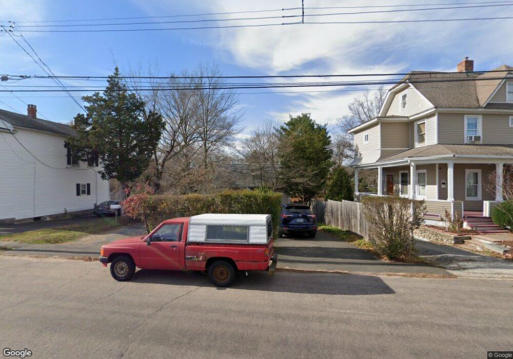
774 Knapps Hwy Fairfield, CT 06825
Tunxis Hill NeighborhoodEstimated Value: $313,438 - $456,000
1
Bed
2
Baths
573
Sq Ft
$685/Sq Ft
Est. Value
About This Home
This home is located at 774 Knapps Hwy, Fairfield, CT 06825 and is currently estimated at $392,360, approximately $684 per square foot. 774 Knapps Hwy is a home located in Fairfield County with nearby schools including Mckinley Elementary School, Tomlinson Middle School, and Fairfield Warde High School.
Ownership History
Date
Name
Owned For
Owner Type
Purchase Details
Closed on
Apr 29, 1992
Sold by
Madden Martha E and Kuczo Marc J
Bought by
Rouggos Dimitrioos S
Current Estimated Value
Home Financials for this Owner
Home Financials are based on the most recent Mortgage that was taken out on this home.
Original Mortgage
$65,000
Interest Rate
8.96%
Mortgage Type
Purchase Money Mortgage
Create a Home Valuation Report for This Property
The Home Valuation Report is an in-depth analysis detailing your home's value as well as a comparison with similar homes in the area
Home Values in the Area
Average Home Value in this Area
Purchase History
| Date | Buyer | Sale Price | Title Company |
|---|---|---|---|
| Rouggos Dimitrioos S | $115,000 | -- |
Source: Public Records
Mortgage History
| Date | Status | Borrower | Loan Amount |
|---|---|---|---|
| Closed | Rouggos Dimitrioos S | $54,221 | |
| Closed | Rouggos Dimitrioos S | $65,000 |
Source: Public Records
Tax History
| Year | Tax Paid | Tax Assessment Tax Assessment Total Assessment is a certain percentage of the fair market value that is determined by local assessors to be the total taxable value of land and additions on the property. | Land | Improvement |
|---|---|---|---|---|
| 2025 | $4,547 | $160,160 | $142,940 | $17,220 |
| 2024 | $4,468 | $160,160 | $142,940 | $17,220 |
| 2023 | $4,406 | $160,160 | $142,940 | $17,220 |
| 2022 | $4,363 | $160,160 | $142,940 | $17,220 |
| 2021 | $4,321 | $160,160 | $142,940 | $17,220 |
| 2020 | $3,638 | $135,800 | $119,140 | $16,660 |
| 2019 | $3,638 | $135,800 | $119,140 | $16,660 |
| 2018 | $3,580 | $135,800 | $119,140 | $16,660 |
| 2017 | $3,506 | $135,800 | $119,140 | $16,660 |
| 2016 | $3,456 | $135,800 | $119,140 | $16,660 |
| 2015 | $3,467 | $139,860 | $126,350 | $13,510 |
| 2014 | $3,413 | $139,860 | $126,350 | $13,510 |
Source: Public Records
Map
Nearby Homes
- 206 Sterling St
- 183 Vesper St
- 108 Roseville St
- 1335 Black Rock Turnpike
- 21 Boroskey Rd
- 376 Knapps Hwy
- 144 Warsaw St
- 28 Country Rd
- 198 Castle Ave
- 27 Suzanne Cir
- 42 Fairway Green
- 41 Pepperbush Ln
- 35 Knapps Hwy
- 37 Biro St
- 1 Overlook Ave
- 652 Black Rock Turnpike
- 155 Moody Ave
- 109 Katona Dr Unit 18
- 187 Halley Ave
- 65 Benton St
- 784 Knapps Hwy
- 762 Knapps Hwy
- 750 Knapps Hwy
- 778 Knapps Hwy
- 149 Division Ave
- 787 Knapps Hwy
- 740 Knapps Hwy
- 796 Knapps Hwy Unit Land
- 796 Knapps Hwy
- 734 Knapps Hwy
- 802 Knapps Hwy
- 300 Soundview Ave Unit TH
- 300 Soundview Ave
- 300 Soundview Ave Unit Townhouse
- 300 Soundview Ave Unit Duplex
- 300 Soundview Ave Unit 2
- 300 Soundview Ave Unit 1
- 133 Division Ave
- 735 Knapps Hwy
- 722 Knapps Hwy
Your Personal Tour Guide
Ask me questions while you tour the home.