774 Liberty Commons Dr NW Unit 910 Atlanta, GA 30314
Vine City NeighborhoodEstimated Value: $281,000 - $441,000
3
Beds
4
Baths
1,704
Sq Ft
$222/Sq Ft
Est. Value
About This Home
This home is located at 774 Liberty Commons Dr NW Unit 910, Atlanta, GA 30314 and is currently estimated at $378,627, approximately $222 per square foot. 774 Liberty Commons Dr NW Unit 910 is a home located in Fulton County with nearby schools including Michael R. Hollis Innovation Academy, Booker T. Washington High School, and KIPP WAYS Academy.
Ownership History
Date
Name
Owned For
Owner Type
Purchase Details
Closed on
Aug 28, 2014
Sold by
Brock Built Homes Llc
Bought by
Bullock Pateen Jahaad
Current Estimated Value
Home Financials for this Owner
Home Financials are based on the most recent Mortgage that was taken out on this home.
Original Mortgage
$195,296
Outstanding Balance
$148,006
Interest Rate
3.87%
Mortgage Type
FHA
Estimated Equity
$230,621
Purchase Details
Closed on
Aug 2, 2010
Sold by
Brock Built Llc
Bought by
Northwest Intown Dev Llc
Create a Home Valuation Report for This Property
The Home Valuation Report is an in-depth analysis detailing your home's value as well as a comparison with similar homes in the area
Home Values in the Area
Average Home Value in this Area
Purchase History
| Date | Buyer | Sale Price | Title Company |
|---|---|---|---|
| Bullock Pateen Jahaad | $198,900 | -- | |
| Northwest Intown Dev Llc | -- | -- |
Source: Public Records
Mortgage History
| Date | Status | Borrower | Loan Amount |
|---|---|---|---|
| Open | Bullock Pateen Jahaad | $195,296 |
Source: Public Records
Tax History Compared to Growth
Tax History
| Year | Tax Paid | Tax Assessment Tax Assessment Total Assessment is a certain percentage of the fair market value that is determined by local assessors to be the total taxable value of land and additions on the property. | Land | Improvement |
|---|---|---|---|---|
| 2025 | $2,401 | $181,760 | $26,240 | $155,520 |
| 2023 | $5,225 | $126,200 | $17,080 | $109,120 |
| 2022 | $2,872 | $126,200 | $17,080 | $109,120 |
| 2021 | $2,752 | $122,520 | $16,560 | $105,960 |
| 2020 | $2,414 | $107,800 | $12,680 | $95,120 |
| 2019 | $435 | $105,880 | $12,440 | $93,440 |
| 2018 | $2,577 | $93,760 | $8,920 | $84,840 |
| 2017 | $2,154 | $78,680 | $9,400 | $69,280 |
| 2016 | $2,161 | $78,680 | $9,400 | $69,280 |
| 2015 | $2,412 | $78,680 | $9,400 | $69,280 |
| 2014 | $490 | $10,800 | $10,800 | $0 |
Source: Public Records
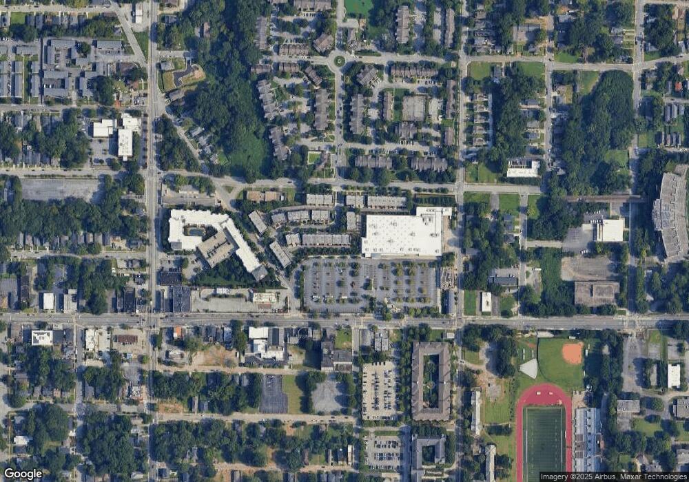
Map
Nearby Homes
- 870 Mayson Turner Rd NW Unit 1102
- 870 Mayson Turner Rd NW Unit 1110
- 870 Mayson Turner Rd NW Unit 1306
- 870 Mayson Turner Rd NW Unit 1004
- 870 Mayson Turner Rd NW Unit 1209
- 870 Mayson Turner Rd NW Unit 1230
- 870 Mayson Turner Rd NW Unit 1103
- 870 Mayson Turner Rd NW Unit 1330
- 870 Mayson Turner Rd NW Unit 1238
- 870 Mayson Turner Rd NW Unit 1228
- 870 Mayson Turner Rd NW Unit 1344
- 870 Mayson Turner Rd NW Unit 1207
- 870 Mayson Turner Rd NW Unit 1111
- 753 Carter St NW
- 836 Mitchell St SW
- 827 Drummond St SW
- 835 Drummond St SW
- 821 Beckwith St SW
- 946 Michigan Ave NW
- 950 Michigan Ave NW
- 772 Liberty Commons Dr NW
- 770 Liberty Commons Dr NW
- 774 Liberty Commons Dr NW
- 768 Liberty Commons Dr NW
- 780 Liberty Commons Dr NW
- 780 Liberty Commons Dr NW Unit 804
- 780 Mayson T Dr NW Unit 804
- 776 Liberty Commons Dr NW
- 766 Liberty Commons Dr NW Unit 906
- 766 Liberty Commons Dr NW
- 782 Mayson T Dr NW Unit 803
- 782 Liberty Commons Dr NW Unit 803
- 764 Liberty Commons Dr NW Unit 905
- 764 Liberty Commons Dr NW
- 784 Mayson T Dr NW Unit 802
- 762 Liberty Commons Dr NW Unit 904
- 762 Liberty Commons Dr NW
- 775 Liberty Commons Dr NW
- 760 Liberty Commons Dr NW
- 773 Liberty Commons Dr NW