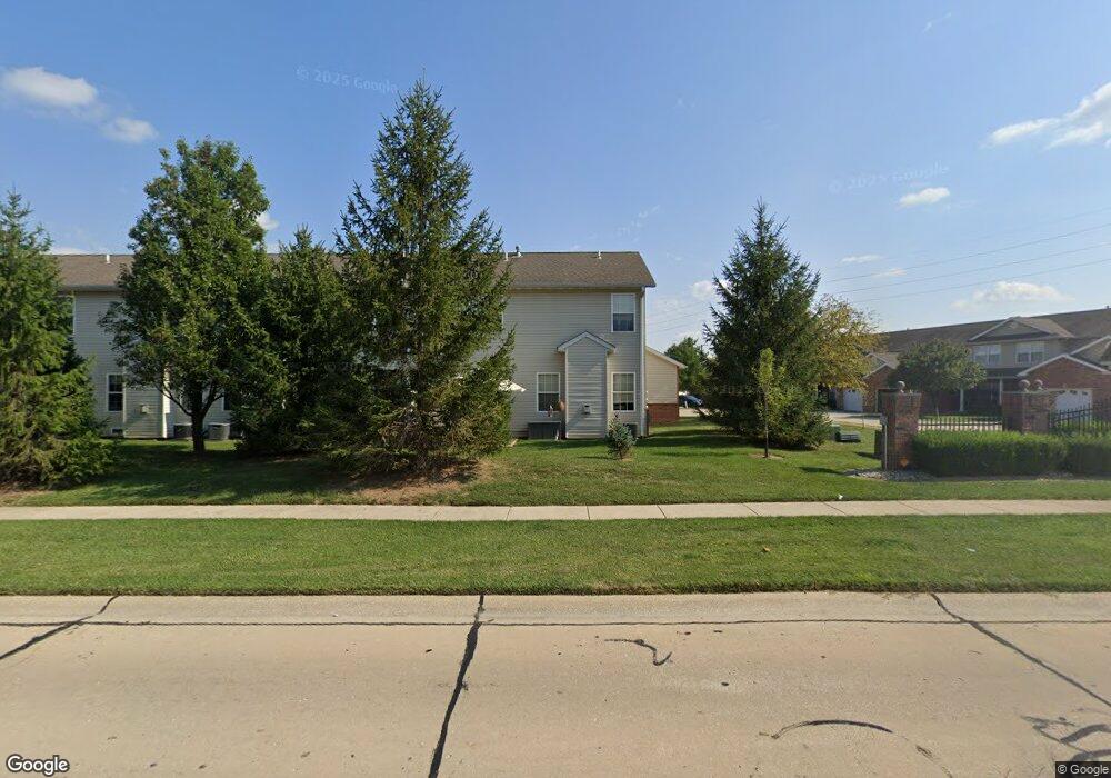
774 Michael St Unit 16 O Fallon, IL 62269
Estimated Value: $234,009 - $240,000
--
Bed
--
Bath
778
Sq Ft
$306/Sq Ft
Est. Value
About This Home
This home is located at 774 Michael St Unit 16, O Fallon, IL 62269 and is currently estimated at $237,752, approximately $305 per square foot. 774 Michael St Unit 16 is a home located in St. Clair County with nearby schools including Evans Elementary School, Carriel Junior High School, and O'Fallon Township High School.
Ownership History
Date
Name
Owned For
Owner Type
Purchase Details
Closed on
Dec 28, 2007
Sold by
Weston Walter
Bought by
Weston Jennifer
Current Estimated Value
Home Financials for this Owner
Home Financials are based on the most recent Mortgage that was taken out on this home.
Original Mortgage
$173,500
Outstanding Balance
$107,815
Interest Rate
5.95%
Mortgage Type
Purchase Money Mortgage
Estimated Equity
$129,937
Purchase Details
Closed on
Jan 18, 2006
Sold by
H & L Builders Llc
Bought by
Weston Walter and Weston Jennifer
Home Financials for this Owner
Home Financials are based on the most recent Mortgage that was taken out on this home.
Original Mortgage
$139,756
Interest Rate
6.42%
Mortgage Type
Fannie Mae Freddie Mac
Create a Home Valuation Report for This Property
The Home Valuation Report is an in-depth analysis detailing your home's value as well as a comparison with similar homes in the area
Home Values in the Area
Average Home Value in this Area
Purchase History
| Date | Buyer | Sale Price | Title Company |
|---|---|---|---|
| Weston Jennifer | -- | Community Title Shiloh Llc | |
| Weston Walter | $177,000 | Town & Country Title Co |
Source: Public Records
Mortgage History
| Date | Status | Borrower | Loan Amount |
|---|---|---|---|
| Open | Weston Jennifer | $173,500 | |
| Previous Owner | Weston Walter | $139,756 |
Source: Public Records
Tax History Compared to Growth
Tax History
| Year | Tax Paid | Tax Assessment Tax Assessment Total Assessment is a certain percentage of the fair market value that is determined by local assessors to be the total taxable value of land and additions on the property. | Land | Improvement |
|---|---|---|---|---|
| 2024 | $4,414 | $60,439 | $1,922 | $58,517 |
| 2023 | $4,072 | $53,643 | $1,706 | $51,937 |
| 2022 | $3,852 | $49,317 | $1,568 | $47,749 |
| 2021 | $3,662 | $46,022 | $1,565 | $44,457 |
| 2020 | $3,638 | $43,564 | $1,481 | $42,083 |
| 2019 | $3,560 | $43,564 | $1,481 | $42,083 |
| 2018 | $3,469 | $42,299 | $1,438 | $40,861 |
| 2017 | $3,399 | $39,954 | $1,515 | $38,439 |
| 2016 | $3,389 | $39,022 | $1,480 | $37,542 |
| 2014 | $3,140 | $38,571 | $1,463 | $37,108 |
| 2013 | $3,268 | $41,440 | $1,425 | $40,015 |
Source: Public Records
Map
Nearby Homes
- 928 Northridge Ct
- 121 S Lawn Ave
- 421 W Highway 50
- 607 Shamrock Dr
- 415 W 3rd St
- 302 Eagle Ridge
- 430 S Hickory St
- 244 Eagle Ridge
- 215 Eagle Ridge Unit 215
- 333 Aladar Dr
- 1207 Nancy Dr
- 204 W State St
- 303 N Cedar St
- 521 Jeffrey Pine Ct
- 201 W Washington St
- 704 W Madison St
- 110 Pierce Blvd
- 305 Wellesley Dr
- 603 W Madison St
- 936 Saint Clair St
- 772 Michael St Unit 15
- 746 Michael St Unit 6
- 770 Michael St Unit 14
- 768 Michael St Unit 13
- 748 Michael St Unit 7
- 750 Michael St Unit 8
- 766 Michael St Unit 12
- 734 Michael St Unit 4
- 759 Michael St Unit 62
- 764 Michael St Unit 11
- 761 Michael St Unit 61
- 745 Michael St Unit 67
- 743 Michael St Unit 68
- 747 Michael St Unit 66
- 732 Michael St Unit 3
- 726 Titan Dr
- 728 Titan Dr
- 724 Titan Dr Unit 87
- 730 Michael St Unit 2
- 722 Titan Dr Unit 88