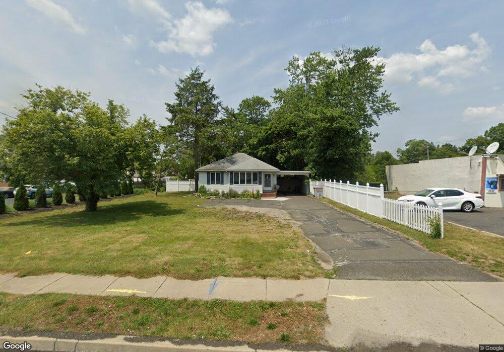
774 N Main Rd Vineland, NJ 08360
Estimated Value: $230,000 - $297,000
2
Beds
1
Bath
1,084
Sq Ft
$240/Sq Ft
Est. Value
About This Home
This home is located at 774 N Main Rd, Vineland, NJ 08360 and is currently estimated at $260,168, approximately $240 per square foot. 774 N Main Rd is a home located in Cumberland County with nearby schools including D'Ippolito Elementary School, Veterans Memorial Intermediate School, and Vineland Senior High School.
Ownership History
Date
Name
Owned For
Owner Type
Purchase Details
Closed on
Nov 3, 2009
Sold by
Possumato Christopher and Possumato Deborah
Bought by
Brosh Geraldine and Brosh Michael
Current Estimated Value
Home Financials for this Owner
Home Financials are based on the most recent Mortgage that was taken out on this home.
Original Mortgage
$112,000
Interest Rate
4.33%
Mortgage Type
Purchase Money Mortgage
Purchase Details
Closed on
Jul 31, 2008
Sold by
Snyder Carmela N
Bought by
Possumato Christopher and Possumato Deborah
Create a Home Valuation Report for This Property
The Home Valuation Report is an in-depth analysis detailing your home's value as well as a comparison with similar homes in the area
Home Values in the Area
Average Home Value in this Area
Purchase History
| Date | Buyer | Sale Price | Title Company |
|---|---|---|---|
| Brosh Geraldine | $140,000 | -- | |
| Possumato Christopher | $133,500 | -- |
Source: Public Records
Mortgage History
| Date | Status | Borrower | Loan Amount |
|---|---|---|---|
| Closed | Brosh Geraldine | $112,000 |
Source: Public Records
Tax History Compared to Growth
Tax History
| Year | Tax Paid | Tax Assessment Tax Assessment Total Assessment is a certain percentage of the fair market value that is determined by local assessors to be the total taxable value of land and additions on the property. | Land | Improvement |
|---|---|---|---|---|
| 2025 | $3,553 | $111,600 | $28,300 | $83,300 |
| 2024 | $3,553 | $111,600 | $28,300 | $83,300 |
| 2023 | $3,530 | $111,600 | $28,300 | $83,300 |
| 2022 | $3,425 | $111,600 | $28,300 | $83,300 |
| 2021 | $3,363 | $111,600 | $28,300 | $83,300 |
| 2020 | $3,267 | $111,600 | $28,300 | $83,300 |
| 2019 | $3,222 | $111,600 | $28,300 | $83,300 |
| 2018 | $3,137 | $111,600 | $28,300 | $83,300 |
| 2017 | $2,980 | $111,600 | $28,300 | $83,300 |
| 2016 | $2,875 | $111,600 | $28,300 | $83,300 |
| 2015 | $2,769 | $111,600 | $28,300 | $83,300 |
| 2014 | $2,618 | $111,600 | $28,300 | $83,300 |
Source: Public Records
Map
Nearby Homes
- 584 Overbrook Rd
- 0 E Oak Rd Unit NJCB2011142
- 1167 Fairmount Ave
- 1161 Fairmount Ave
- 1964 E Oak Rd Unit Q1
- 1964 E Oak Rd Unit N4
- 1964 E Oak Rd Unit G2
- 1173 New Pear St
- 2102 E Oak Rd Unit M4
- 667 Alps Place
- 516 N Valley Ave
- 1410 N Main Rd
- 4 Elmwood Ave
- 866 Chapel Dr
- 18 Elmwood Ave
- 307 N Spring Rd
- 1071 E Park Ave
- 208 Oaklawn Terrace
- 515 Park Ln
- 211 Oaklawn Terrace
- 792 N Main Rd
- 754 N Main Rd
- 1199 Sharp Rd
- 1196 Francine Dr
- 1197 Sharp Rd
- 1194 Francine Dr
- 820 N Main Rd
- 820 N Main Rd Unit U
- 777 N Main Rd Unit 797
- 728 N Main Rd
- 1193 Sharp Rd
- 1197 Francine Dr
- 1192 Francine Dr
- 1195 Francine Dr
- 1196 Sharp Rd
- 714 N Main Rd
- 717 N Main Rd
- 757 Main Rd
- 1193 Francine Dr
- 1190 Francine Dr