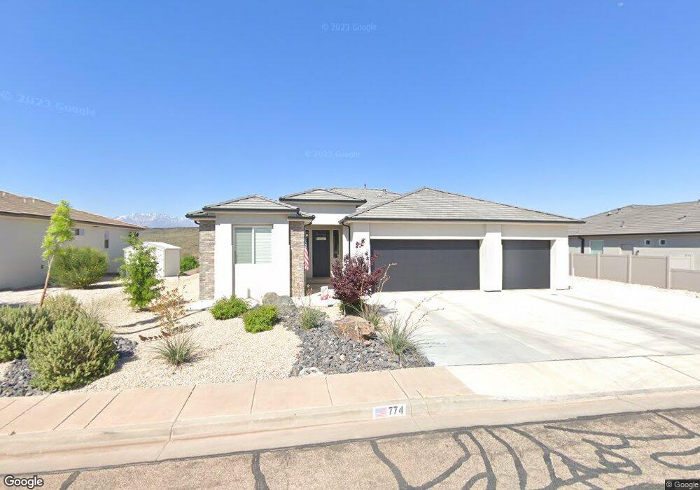
774 Obsidian Dr St. George, UT 84770
Estimated Value: $571,471 - $613,000
4
Beds
2
Baths
2,052
Sq Ft
$288/Sq Ft
Est. Value
About This Home
This home is located at 774 Obsidian Dr, St. George, UT 84770 and is currently estimated at $590,868, approximately $287 per square foot. 774 Obsidian Dr is a home located in Washington County with nearby schools including Bloomington Elementary School, Dixie Intermediate School, and Dixie Middle School.
Ownership History
Date
Name
Owned For
Owner Type
Purchase Details
Closed on
Apr 22, 2024
Sold by
Paff Eric and Paff Sandra K
Bought by
Eric And Kay Paff Trust and Paff
Current Estimated Value
Purchase Details
Closed on
Sep 21, 2020
Sold by
Endeavor Construction Llc
Bought by
Paff Eric and Paff Sandra K
Purchase Details
Closed on
Dec 18, 2019
Sold by
Hammond Julie W
Bought by
Endeavor Construction Llc
Purchase Details
Closed on
Apr 1, 2011
Sold by
Hammond Julie W
Bought by
Hammond Julie W and The Julie W Hammond Family Trust
Purchase Details
Closed on
May 7, 2010
Sold by
Hammond Todd J
Bought by
Hammond Julie W
Purchase Details
Closed on
May 5, 2005
Sold by
Roberts Reglnald R
Bought by
Hammond Todd J
Purchase Details
Closed on
Mar 3, 2005
Sold by
Bbdlt Assn Lc
Bought by
Roberts Reginald R
Create a Home Valuation Report for This Property
The Home Valuation Report is an in-depth analysis detailing your home's value as well as a comparison with similar homes in the area
Home Values in the Area
Average Home Value in this Area
Purchase History
| Date | Buyer | Sale Price | Title Company |
|---|---|---|---|
| Eric And Kay Paff Trust | -- | None Listed On Document | |
| Paff Eric | -- | Terra Blue Title Agency | |
| Endeavor Construction Llc | -- | None Available | |
| Hammond Julie W | -- | None Available | |
| Hammond Julie W | -- | None Available | |
| Hammond Todd J | -- | Southern Utah Title Co | |
| Roberts Reginald R | -- | Sothern Utah Title Co |
Source: Public Records
Tax History Compared to Growth
Tax History
| Year | Tax Paid | Tax Assessment Tax Assessment Total Assessment is a certain percentage of the fair market value that is determined by local assessors to be the total taxable value of land and additions on the property. | Land | Improvement |
|---|---|---|---|---|
| 2025 | $2,041 | $296,285 | $72,600 | $223,685 |
| 2023 | $2,116 | $316,195 | $69,300 | $246,895 |
| 2022 | $2,230 | $313,390 | $52,800 | $260,590 |
| 2021 | $2,020 | $423,200 | $84,000 | $339,200 |
| 2020 | $295 | $32,000 | $32,000 | $0 |
| 2019 | $302 | $32,000 | $32,000 | $0 |
| 2018 | $290 | $28,000 | $0 | $0 |
| 2017 | $248 | $24,000 | $0 | $0 |
| 2016 | $269 | $24,000 | $0 | $0 |
| 2015 | $280 | $24,000 | $0 | $0 |
| 2014 | $278 | $24,000 | $0 | $0 |
Source: Public Records
Map
Nearby Homes
- 0 Lava Pointe Dr Unit 25-260968
- 667 Lava Point Drive Lot #5 Dr
- 667 Lava Pointe Dr Unit 5
- 667 Lava Pointe Dr
- 668 Lava Pointe Dr
- 639 W Uxbridge Dr
- 767 W Uxbridge Dr
- 2169 S Legacy Dr
- 1065 W Albertine Ln
- 2661 Tonaquint Dr
- 2661 Tonaquint Dr Unit 13
- 2261 S Tonaquint Dr Unit 31
- 2159 Fairway Hills Dr Unit 40
- 2159 Fairway Hills Dr
- 2244 Putters Cir
- 646 W Verde Ridge Rd
- 844 W Hampton Rd
- 300 W 2025 S Unit 26
- 697 W Windsor Dr
- 853 W Hampton Rd
- 776 Obsidian Dr
- 782 Obsidian Dr
- 782 Obsidian Dr
- 749 Lava Point Dr
- 766 Obsidian Dr Unit 50
- 766 Obsidian Dr
- 749 Lava Pointe Dr
- 741 Lava Point Dr
- 757 Lava Point Dr
- 741 Lava Pointe Dr
- 741 Lava Pointe Dr
- 757 Lava Pointe Dr
- 757 Lava Pointe Dr
- 0 Obsidian Dr Unit 16 2032130
- 805 Obsidian Dr
- 803 Obsidian Dr
- 0 Obsidian Dr Unit 21-222110
- 0 Obsidian Dr Unit 16-174135
- 0 Obsidian Dr Unit 15-165912
- 0 Obsidian Dr Unit 7-85320