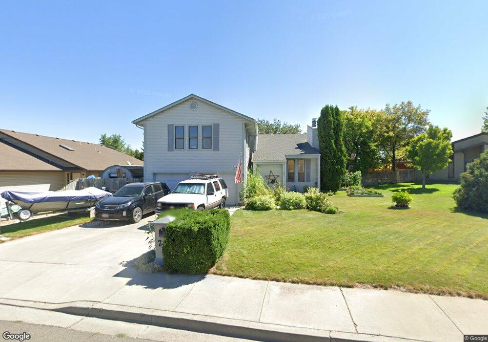
774 Quincy St Twin Falls, ID 83301
Estimated Value: $433,000 - $476,909
6
Beds
3
Baths
3,009
Sq Ft
$151/Sq Ft
Est. Value
About This Home
This home is located at 774 Quincy St, Twin Falls, ID 83301 and is currently estimated at $454,727, approximately $151 per square foot. 774 Quincy St is a home located in Twin Falls County with nearby schools including Harrison Elementary School, Robert Stuart Junior High School, and Canyon Ridge High School.
Ownership History
Date
Name
Owned For
Owner Type
Purchase Details
Closed on
May 1, 2012
Sold by
Eveleth Gloira A and Palmer Gloria
Bought by
Eveleth Gloria A and Eveleth Michael E
Current Estimated Value
Home Financials for this Owner
Home Financials are based on the most recent Mortgage that was taken out on this home.
Original Mortgage
$99,800
Outstanding Balance
$14,142
Interest Rate
3.86%
Mortgage Type
New Conventional
Estimated Equity
$440,585
Create a Home Valuation Report for This Property
The Home Valuation Report is an in-depth analysis detailing your home's value as well as a comparison with similar homes in the area
Home Values in the Area
Average Home Value in this Area
Purchase History
| Date | Buyer | Sale Price | Title Company |
|---|---|---|---|
| Eveleth Gloria A | -- | First American Title |
Source: Public Records
Mortgage History
| Date | Status | Borrower | Loan Amount |
|---|---|---|---|
| Open | Eveleth Gloria A | $99,800 |
Source: Public Records
Tax History Compared to Growth
Tax History
| Year | Tax Paid | Tax Assessment Tax Assessment Total Assessment is a certain percentage of the fair market value that is determined by local assessors to be the total taxable value of land and additions on the property. | Land | Improvement |
|---|---|---|---|---|
| 2024 | $2,864 | $428,222 | $76,212 | $352,010 |
| 2023 | $2,663 | $447,252 | $76,212 | $371,040 |
| 2022 | $3,773 | $454,493 | $59,903 | $394,590 |
| 2021 | $3,360 | $348,199 | $55,343 | $292,856 |
| 2020 | $2,530 | $265,820 | $51,690 | $214,130 |
| 2019 | $2,764 | $254,696 | $47,832 | $206,864 |
| 2018 | $2,650 | $240,275 | $29,725 | $210,550 |
| 2017 | $2,227 | $218,792 | $29,725 | $189,067 |
| 2016 | $2,172 | $203,105 | $0 | $0 |
| 2015 | $2,448 | $215,111 | $0 | $0 |
| 2012 | -- | $195,275 | $0 | $0 |
Source: Public Records
Map
Nearby Homes
- 356 Monroe Cir
- 745 Newport St
- 833 Monroe St
- 790 Academic Dr
- 591 Monroe St
- 748 Meadows Dr
- 797-3-1 Meadows Dr
- 602 Adams St
- 145, 147, 149 Robbins St
- 147 Robbins Ave
- 149 Robbins Ave
- 145 Robbins Ave
- 167 Robbins Ave
- 441 Harrison St
- 555 Bolton St
- 375 Monroe St
- 134 Adams St
- 275 Elaine Ave Unit 2
- 546 Pierce St
- 532 Pierce St