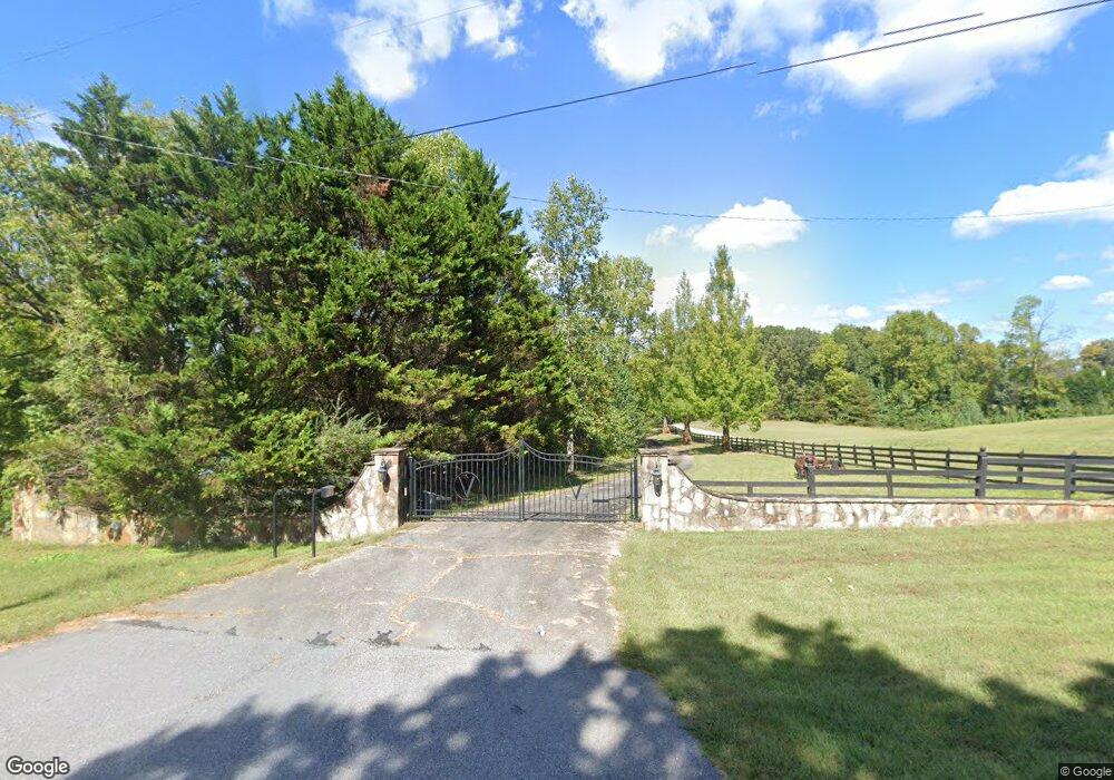
7742 Highway 115 W Cleveland, GA 30528
Estimated Value: $569,000 - $890,000
5
Beds
2
Baths
4,800
Sq Ft
$150/Sq Ft
Est. Value
About This Home
This home is located at 7742 Highway 115 W, Cleveland, GA 30528 and is currently estimated at $719,828, approximately $149 per square foot. 7742 Highway 115 W is a home located in White County with nearby schools including Tesnatee Gap Elementary (Old White County Intermediate), White County 9th Grade Academy, and Jack P. Nix Elementary School.
Ownership History
Date
Name
Owned For
Owner Type
Purchase Details
Closed on
Oct 1, 2007
Sold by
Not Provided
Bought by
Hecker William Patrick
Current Estimated Value
Home Financials for this Owner
Home Financials are based on the most recent Mortgage that was taken out on this home.
Original Mortgage
$295,950
Outstanding Balance
$184,474
Interest Rate
6.27%
Mortgage Type
New Conventional
Estimated Equity
$535,354
Create a Home Valuation Report for This Property
The Home Valuation Report is an in-depth analysis detailing your home's value as well as a comparison with similar homes in the area
Home Values in the Area
Average Home Value in this Area
Purchase History
| Date | Buyer | Sale Price | Title Company |
|---|---|---|---|
| Hecker William Patrick | $376,000 | -- |
Source: Public Records
Mortgage History
| Date | Status | Borrower | Loan Amount |
|---|---|---|---|
| Open | Hecker William Patrick | $295,950 |
Source: Public Records
Tax History Compared to Growth
Tax History
| Year | Tax Paid | Tax Assessment Tax Assessment Total Assessment is a certain percentage of the fair market value that is determined by local assessors to be the total taxable value of land and additions on the property. | Land | Improvement |
|---|---|---|---|---|
| 2025 | $6,033 | $295,268 | $56,476 | $238,792 |
| 2024 | $6,033 | $289,620 | $50,828 | $238,792 |
| 2023 | $5,767 | $254,292 | $45,180 | $209,112 |
| 2022 | $5,297 | $223,252 | $42,356 | $180,896 |
| 2021 | $5,141 | $191,756 | $38,436 | $153,320 |
| 2020 | $4,935 | $175,356 | $35,692 | $139,664 |
| 2019 | $4,950 | $175,356 | $35,692 | $139,664 |
| 2018 | $4,950 | $175,356 | $35,692 | $139,664 |
| 2017 | $4,599 | $164,392 | $35,692 | $128,700 |
| 2016 | $4,072 | $145,532 | $35,692 | $109,840 |
| 2015 | $3,886 | $363,830 | $35,692 | $109,840 |
| 2014 | $3,636 | $339,850 | $0 | $0 |
Source: Public Records
Map
Nearby Homes
- 0 Valhalla Dr Unit 10656897
- LOT 33 C Valhalla Dr
- 31 Valhalla Dr
- 0 Waterfall Dr Unit 9 10472076
- 3395 Asbury Mill Rd
- 112 Lumpkin View Dr
- 2927 Asbury Mill Rd
- LOT 24 Luther Palmer Rd
- 0 Roseberry Ln
- 174 Leighs Crossing
- 966 Wahoo Creek Rd
- 86.99 Acres Mincie Mountain
- 55 Santa Pera Dr
- 0 Asbury Mill Rd Unit 10599324
- 0 Asbury Mill Rd Unit 7644389
- 3.65 Ac Emory Stephens Rd
- 3.65AC Emory Stephens Rd
- 23.86 Acres Mincie Mountain
- 20.65 Acres Mincie Mountain
- 42.65 Acres Mincie Mountain
- 342 Phillips Dr
- 226 Phillips Dr
- 6 Highway 115 W
- 271 Phillips Dr
- 271 Phillips Dr
- 343 Phillips Dr
- 142 Phillips Dr
- 0 Phillips Dr Unit 10191478
- 0 Phillips Dr Unit 8745668
- 7778 Highway 115 W
- 143 Phillips Dr
- 88 Phillips Dr
- 157 Arnold Dr
- 195 Phillips Dr
- 188 Arnold Dr
- 188 Arnold Dr Unit 3
- 0 Valhalla Dr Unit 8358135
- 0 Valhalla Dr Unit 8348461
- 0 Valhalla Dr Unit 31 8336264
- 0 Valhalla Dr Unit 10640791