7745 Card Rd Wales, MI 48027
Wales Township NeighborhoodEstimated Value: $361,000 - $560,000
--
Bed
--
Bath
1,996
Sq Ft
$212/Sq Ft
Est. Value
About This Home
This home is located at 7745 Card Rd, Wales, MI 48027 and is currently estimated at $423,455, approximately $212 per square foot. 7745 Card Rd is a home located in St. Clair County with nearby schools including Memphis Elementary School and Memphis Junior/Senior High School.
Create a Home Valuation Report for This Property
The Home Valuation Report is an in-depth analysis detailing your home's value as well as a comparison with similar homes in the area
Home Values in the Area
Average Home Value in this Area
Tax History Compared to Growth
Tax History
| Year | Tax Paid | Tax Assessment Tax Assessment Total Assessment is a certain percentage of the fair market value that is determined by local assessors to be the total taxable value of land and additions on the property. | Land | Improvement |
|---|---|---|---|---|
| 2025 | $2,861 | $187,700 | $0 | $0 |
| 2024 | $1,749 | $179,900 | $0 | $0 |
| 2023 | $1,665 | $168,400 | $0 | $0 |
| 2022 | $2,572 | $149,300 | $0 | $0 |
| 2021 | $2,383 | $134,200 | $0 | $0 |
| 2020 | $2,383 | $125,700 | $125,700 | $0 |
| 2019 | $2,339 | $97,700 | $0 | $0 |
| 2018 | $2,299 | $97,700 | $0 | $0 |
| 2017 | $2,269 | $88,000 | $0 | $0 |
| 2016 | $941 | $88,000 | $0 | $0 |
| 2015 | -- | $83,300 | $83,300 | $0 |
| 2014 | -- | $83,700 | $83,700 | $0 |
| 2013 | -- | $80,100 | $0 | $0 |
Source: Public Records
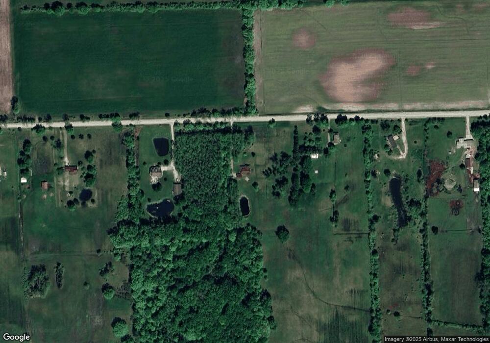
Map
Nearby Homes
- VL Lambs Rd
- 8067 Lambs Rd
- 0 Sparling Unit 20230091288
- 7710 Sparling Rd
- 8237 Lambs Rd
- 1900 Burns Rd
- 1533 Richman Rd
- 0 Sparling Rd Unit 2210034403
- 1688 Sturdevant Rd
- 2906 Castor Rd
- 2759 Goodells Rd
- 8542 Morris Rd
- 1371 Sturdevant Rd
- 00 Sparling Rd
- 1261 Sturdevant Rd
- 6417 Dove Rd
- 6928 Lapeer Rd
- 8840 Marquette Rd
- 6928 Smiths Creek Rd
- 1971 Hyde Park Rd