7747 S 439 Locust Grove, OK 74352
Estimated Value: $80,850 - $265,000
2
Beds
1
Bath
890
Sq Ft
$193/Sq Ft
Est. Value
About This Home
This home is located at 7747 S 439, Locust Grove, OK 74352 and is currently estimated at $171,963, approximately $193 per square foot. 7747 S 439 is a home located in Mayes County with nearby schools including Locust Grove Early Lrning Center, Locust Grove Upper Elementary School, and Locust Grove Middle School.
Ownership History
Date
Name
Owned For
Owner Type
Purchase Details
Closed on
Dec 22, 2004
Sold by
Barnes Billy
Bought by
Sanders Darryl
Current Estimated Value
Purchase Details
Closed on
Dec 12, 2004
Sold by
Barnes Billy
Bought by
Sanders Darryl
Purchase Details
Closed on
Oct 12, 2004
Sold by
House Mistic
Bought by
Barnes Billy
Purchase Details
Closed on
May 14, 2004
Sold by
Barnes Billy M
Bought by
House Mistic J
Purchase Details
Closed on
Jul 18, 2003
Sold by
Saffell Wendell and Saffell Stacy
Bought by
Barnes Billy M
Create a Home Valuation Report for This Property
The Home Valuation Report is an in-depth analysis detailing your home's value as well as a comparison with similar homes in the area
Home Values in the Area
Average Home Value in this Area
Purchase History
| Date | Buyer | Sale Price | Title Company |
|---|---|---|---|
| Sanders Darryl | $15,000 | -- | |
| Sanders Darryl | $15,000 | None Available | |
| Barnes Billy | -- | -- | |
| House Mistic J | $15,000 | -- | |
| Barnes Billy M | $12,000 | -- |
Source: Public Records
Tax History Compared to Growth
Tax History
| Year | Tax Paid | Tax Assessment Tax Assessment Total Assessment is a certain percentage of the fair market value that is determined by local assessors to be the total taxable value of land and additions on the property. | Land | Improvement |
|---|---|---|---|---|
| 2025 | $308 | $3,480 | $1,109 | $2,371 |
| 2023 | $308 | $3,157 | $994 | $2,163 |
| 2022 | $271 | $3,006 | $927 | $2,079 |
| 2021 | $264 | $2,863 | $878 | $1,985 |
| 2020 | $255 | $2,727 | $828 | $1,899 |
| 2019 | $243 | $2,597 | $739 | $1,858 |
| 2018 | $236 | $2,473 | $704 | $1,769 |
| 2017 | $225 | $2,356 | $671 | $1,685 |
| 2016 | $209 | $2,244 | $639 | $1,605 |
| 2015 | $206 | $2,136 | $608 | $1,528 |
| 2014 | $196 | $2,035 | $535 | $1,500 |
Source: Public Records
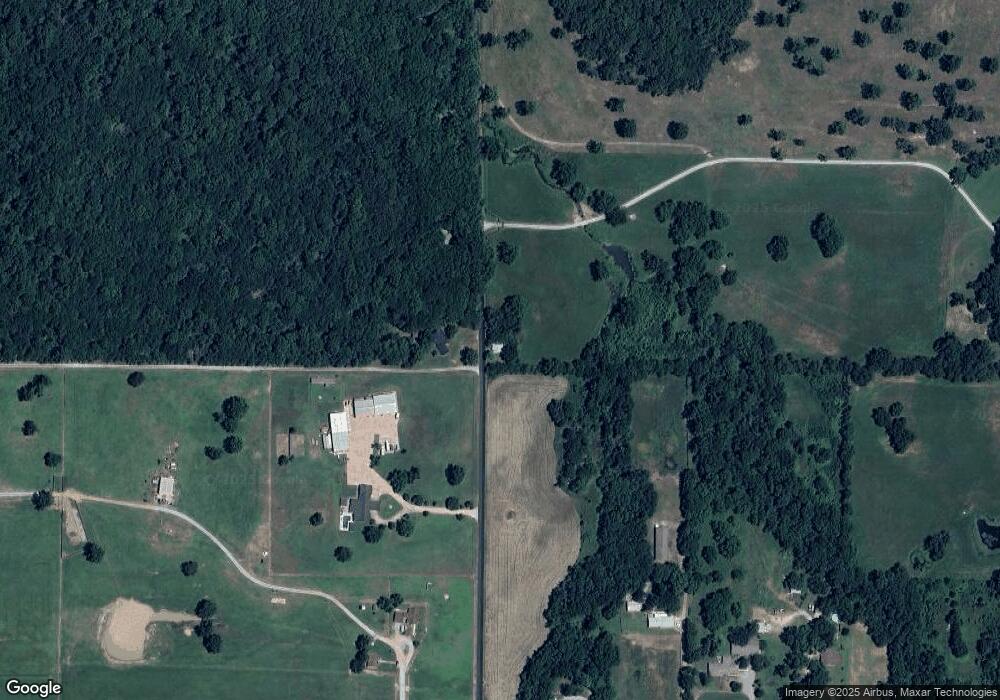
Map
Nearby Homes
- 1 W Ross St
- 212 N Mayes St
- 000 Earl Smith Rd
- 310 W Harrison
- 415 N Broadway
- 8604 S County Road 4468
- 0 Peach St
- 301 S Water St
- 00 Hill St
- 57 Joe Koelsch Dr
- 815 S Cherokee St
- 715 S Cherokee St
- 608 S Cherokee St
- 0 Orange St
- 207 Orange St
- 10171 U S Highway 412
- 6164 E 578
- 149 SE 4404 Loop
- 6959 E 561 Rd
- 173 Dove Rd
- 206 N Wyandotte
- 211 N Wyandotte
- 201 N Wyandotte
- 220 N Wyandotte
- 219 N Wyandotte
- 315 W Ross St
- 203 S Wyandotte
- 405 E Ross
- 304 N Wyandotte
- 405 W Ross St
- 303 N Wyandotte
- 117 N Wyandotte
- 320 N Wyandotte
- 309 W Ross St
- 302 Earl Smith Rd
- 214 W Markham
- 330 N Wyandotte
- 304 W Ross St
- 335 N Wyandotte
- 304 Earl Smith Rd